Daule — Cayambe
Daule — Quero Canton
Daule — Sibambe
Daule — Provincia de Napo
Daule — Granadillas
Daule — Jimbura
Daule — Descanso de Sucre
Daule — Buena Fé
Daule — Sucumbios
Daule — Ancon
Daule — Bilován
Daule — Tonchigüe
Daule — Torata
Daule — Giron
Daule — Rio Chico
Daule — El Arenal
Daule — The Mana
Daule — Pichincha
Daule — Santiago
Palestina
Good faith
Colimes
Balzar
Velasco Ibarra
El Empalme
Quevedo
Buena Fé
Buena Fé
Los Ríos Province
Holandesa
Los Angeles
Quevedo
Luz de América
El Esfuerzo
Julio Moreno
Santo Domingo de los Tsáchilas Province
Santo Domingo
Santo Domingo
Libertad del Toachi
Mindo Valley
San Miguel de Los Bancos
Mindo
Tandayapa
Nanegalito
Alaspungo
Calacalí
San Antonio
Pomasqui
D
Comite del Pueblo
Calderon
Mariscal Sucre International Airport
Guayllabamba
Malchinguí
Santa Rosa de Cusubamba
Tabacundo
Tabacundo
Pijal
Gonzalez Suarez
San Rafael
Eugenio Espejo
Otavalo
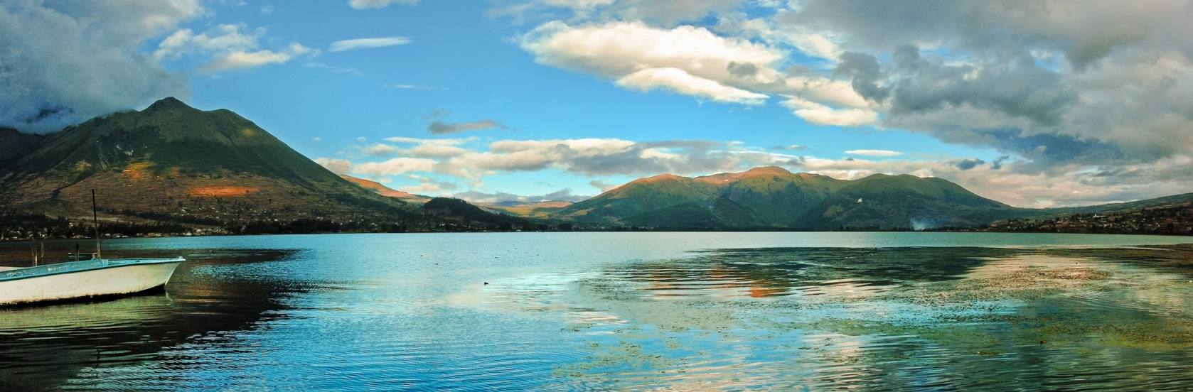
Daule — Otavalo distance, route on the map
Distance by car
Distance between Daule, Guayas, Ecuador and Otavalo, Imbabura, Ecuador by car is — km, or miles. To travel this distance by car, you need minute, or h.
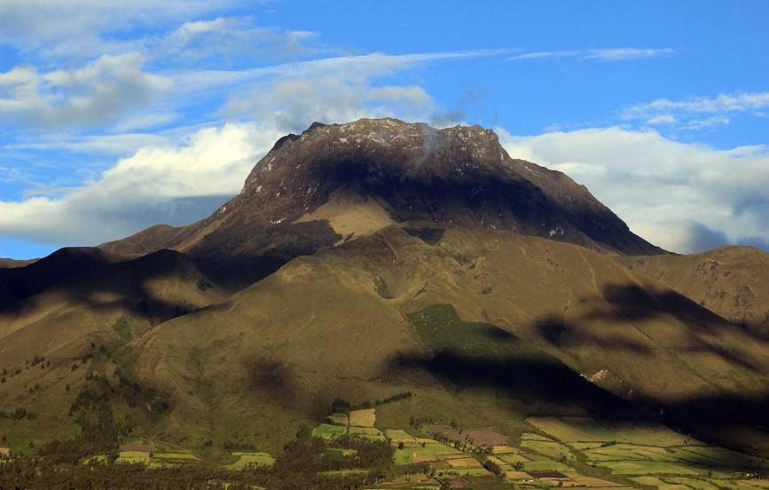
Route on the map, driving directions
Car route Daule — Otavalo was created automatically. The road on the map is shown as a blue line. By moving the markers, you can create a new route through the points you need.
Passing cities through which the car route passes: St. lucia, Palestina, Good faith, Colimes, Balzar, Velasco Ibarra, El Empalme, Quevedo, Buena Fé, Buena Fé, Los Ríos Province, Holandesa, Los Angeles, Quevedo, Luz de América, El Esfuerzo, Julio Moreno, Santo Domingo de los Tsáchilas Province, Santo Domingo, , Santo Domingo, Libertad del Toachi, Mindo Valley, San Miguel de Los Bancos, Mindo, Tandayapa, Nanegalito, Alaspungo, Calacalí, San Antonio, Pomasqui, D, Comite del Pueblo, Calderon, Mariscal Sucre International Airport, Guayllabamba, Malchinguí, Santa Rosa de Cusubamba, Tabacundo, Tabacundo, Pijal, Gonzalez Suarez, San Rafael, Eugenio Espejo, Otavalo.
Distance by plane
If you decide to take a trip Daule Otavalo by plane, then you have to fly the distance — 301 km or 187 miles. It is marked on the map with a gray line (between two points in a straight line).
Flight time
Estimated flight time Daule Otavalo by plane at cruising speed 750 km / h will be — 24 min.
Direction of movement
Ecuador, Daule — right-hand traffic. Ecuador, Otavalo — right-hand traffic.
Difference in time
Daule and Otavalo are in the same time zone. Between them there is no time difference (UTC -5 America/Guayaquil).
Interesting Facts
Information on alternative ways to get to your destination.
The length of this distance is about 0.8% of the total length of the equator.
The percentage of the population is clearly shown in the graph:
Daule — 48,505, Otavalo — 32,330 residents (less by 16,175).
The cost of travel
Calculate the cost of the trip yourself using the fuel consumption calculator, changing the data in the table.