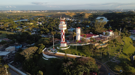
Coatepec — El Roblito
Coatepec — Nochistlán de Mejía Municipality
Coatepec — Colonia Alamillo
Coatepec — Atoyac
Coatepec — López
Coatepec — Soledad
Coatepec — Mozomboa
Coatepec — Tula
Coatepec — Casas Grandes Municipality
Coatepec — Pijijiapan
Coatepec — Toó
Coatepec — Tarímbaro
Coatepec — Huejutla de Reyes
Coatepec — Hecelchakán Municipality
Coatepec — Armadillo de los Infante
Coatepec — Villa Mariano Matamoros
Coatepec — Atascaderos
Coatepec — Naucalpan
Coatepec — Paso del Macho
Coatepec — Coatzacoalcos distance, route on the map
Distance by car
Distance between Coatepec, Veracruz, Mexico and Coatzacoalcos, Veracruz, Mexico by car is — km, or miles. To travel this distance by car, you need minute, or h.
Route on the map, driving directions
Car route Coatepec — Coatzacoalcos was created automatically. The road on the map is shown as a blue line. By moving the markers, you can create a new route through the points you need.
Distance by plane
If you decide to take a trip Coatepec Coatzacoalcos by plane, then you have to fly the distance — 301 km or 187 miles. It is marked on the map with a gray line (between two points in a straight line).
Flight time
Estimated flight time Coatepec Coatzacoalcos by plane at cruising speed 750 km / h will be — 24 min.
Direction of movement
Mexico, Coatepec — right-hand traffic. Mexico, Coatzacoalcos — right-hand traffic.
Difference in time
Coatepec and Coatzacoalcos are in the same time zone. Between them there is no time difference (UTC -6 America/Mexico_City).
Interesting Facts
Information on alternative ways to get to your destination.
The length of this distance is about 0.8% of the total length of the equator.
The percentage of the population is clearly shown in the graph:
Coatepec — 48,455 (less by 182,272), Coatzacoalcos — 230,727 residents.
The cost of travel
Calculate the cost of the trip yourself using the fuel consumption calculator, changing the data in the table.