Ciudad López Mateos — Ciudad Juarez
Ciudad López Mateos — Mapastepec
Ciudad López Mateos — Yautepec de Zaragoza
Ciudad López Mateos — Pabellón de Arteaga
Ciudad López Mateos — Altamirano
Ciudad López Mateos — Álvaro Obregón
Ciudad López Mateos — Tekpan
Ciudad López Mateos — Ciudad Nezahualcóyotl
Ciudad López Mateos — Los Gomez
Ciudad López Mateos — Emiliano Zapata
Ciudad López Mateos — Ayahualulco
Ciudad López Mateos — Lo de Vega
Ciudad López Mateos — Cuauhtemoc
Ciudad López Mateos — Tierra Blanca
Ciudad López Mateos — Mexcaltitán de Uribe
Ciudad López Mateos — Maní
Ciudad López Mateos — Las Negritas
Ciudad López Mateos — Santa María del Oro
Ciudad López Mateos — La Tigra
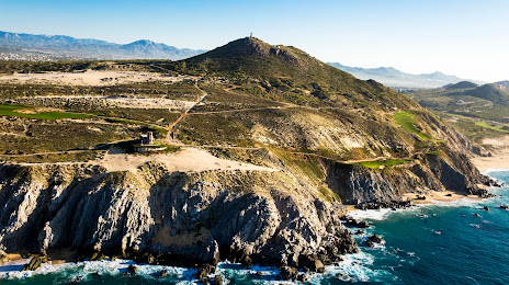
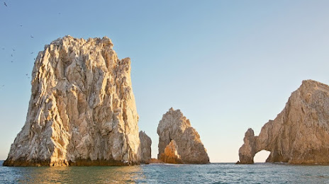
Ciudad López Mateos — Cabo San Lucas distance, route on the map
Distance by car
Distance between Ciudad López Mateos, State of Mexico, Mexico and Cabo San Lucas, Baja California Sur, Mexico by car is — km, or miles. To travel this distance by car, you need minute, or h.
Route on the map, driving directions
Car route Ciudad López Mateos — Cabo San Lucas was created automatically. The road on the map is shown as a blue line. By moving the markers, you can create a new route through the points you need.
Distance by plane
If you decide to take a trip Ciudad López Mateos Cabo San Lucas by plane, then you have to fly the distance — 1164 km or 722 miles. It is marked on the map with a gray line (between two points in a straight line).
Flight time
Estimated flight time Ciudad López Mateos Cabo San Lucas by plane at cruising speed 750 km / h will be — 1 h. and 33 min.
Direction of movement
Mexico, Ciudad López Mateos — right-hand traffic. Mexico, Cabo San Lucas — right-hand traffic.
Difference in time
Ciudad López Mateos and Cabo San Lucas are in different time zones. The time difference is 1 hour (UTC -6 America/Mexico_City, UTC -7 America/Mazatlan).
Interesting Facts
Information on alternative ways to get to your destination.
The length of this distance is about 2.9% of the total length of the equator.
The percentage of the population is clearly shown in the graph:
Ciudad López Mateos — 521,034, Cabo San Lucas — 42,601 residents (less by 478,433).
The cost of travel
Calculate the cost of the trip yourself using the fuel consumption calculator, changing the data in the table.