Naica — Villa del Carbón
Naica — El Muey
Naica — Tlaxiaco
Naica — Tianguismanalco
Naica — Ciudad Hidalgo
Naica — San Luis del Cordero
Naica — Tlahuelilpan
Naica — Nuevo Morelos
Naica — Penjamillo de Degollado
Naica — Poblado Alfredo V. Bonfil
Naica — Tacotalpa
Naica — The meetings
Naica — Nuevo Casas Grandes Municipality
Naica — Durango
Naica — The turtles
Naica — Colonia Leyes de Reforma
Naica — Parque temático Villas del Oeste
Naica — San Bartolo Yautepec
Naica — El Tule
Valle de Zaragoza
Parral
San Francisco del Oro Municipality
Soyatita
Tameapa
Badiraguato
Pericos
Guamúchil
Salvador Alvarado Municipality
Guasave
Cinco de Mayo
Batamote
Adolfo Ruiz Cortines
Juan José Ríos
Los Mochis
Mochis International Airport
Topolobampo
La Paz
Balandra
Real Calafia
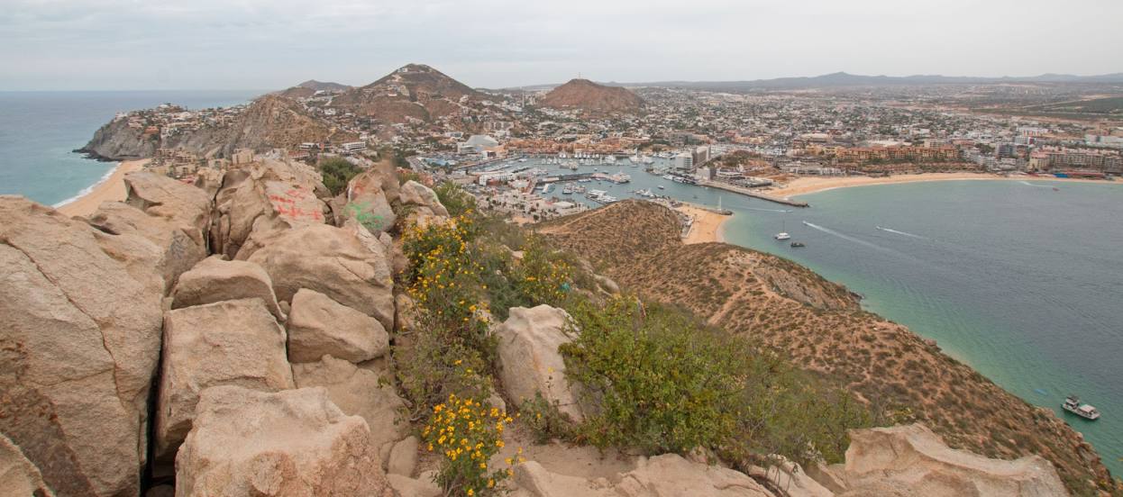
La Paz
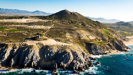
Todos Santos
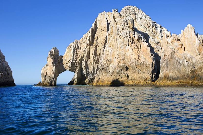
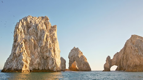
Cabo San Lucas International Airport
Naica — Villa del Carbón
Naica — El Muey
Naica — Tlaxiaco
Naica — Tianguismanalco
Naica — Ciudad Hidalgo
Naica — San Luis del Cordero
Naica — Tlahuelilpan
Naica — Nuevo Morelos
Naica — Penjamillo de Degollado
Naica — Poblado Alfredo V. Bonfil
Naica — Tacotalpa
Naica — The meetings
Naica — Nuevo Casas Grandes Municipality
Naica — Durango
Naica — The turtles
Naica — Colonia Leyes de Reforma
Naica — Parque temático Villas del Oeste
Naica — San Bartolo Yautepec
Naica — El Tule
Valle de Zaragoza
Parral
San Francisco del Oro Municipality
Soyatita
Tameapa
Badiraguato
Pericos
Guamúchil
Salvador Alvarado Municipality
Guasave
Cinco de Mayo
Batamote
Adolfo Ruiz Cortines
Juan José Ríos
Los Mochis
Mochis International Airport
Topolobampo
La Paz
Balandra
Real Calafia
La Paz
Todos Santos
Cabo San Lucas International Airport
Naica — Cabo San Lucas distance, route on the map
Distance by car
Distance between Naica, Chihuahua, Mexico and Cabo San Lucas, Baja California Sur, Mexico by car is — km, or miles. To travel this distance by car, you need minute, or h.
Route on the map, driving directions
Car route Naica — Cabo San Lucas was created automatically. The road on the map is shown as a blue line. By moving the markers, you can create a new route through the points you need.
Passing cities through which the car route passes: Santa Gertrudis, Valle de Zaragoza, Parral, San Francisco del Oro Municipality, Soyatita, Tameapa, Badiraguato, Pericos, Guamúchil, Salvador Alvarado Municipality, Guasave, Cinco de Mayo, Batamote, Adolfo Ruiz Cortines, Juan José Ríos, Los Mochis, Mochis International Airport, Topolobampo, La Paz, Balandra, Real Calafia, La Paz, Todos Santos, Cabo San Lucas International Airport.
Distance by plane
If you decide to take a trip Naica Cabo San Lucas by plane, then you have to fly the distance — 709 km or 440 miles. It is marked on the map with a gray line (between two points in a straight line).
Flight time
Estimated flight time Naica Cabo San Lucas by plane at cruising speed 750 km / h will be — 56 min.
Direction of movement
Mexico, Naica — right-hand traffic. Mexico, Cabo San Lucas — right-hand traffic.
Difference in time
Naica and Cabo San Lucas are in the same time zone. Between them there is no time difference (UTC -7 America/Mazatlan).
Interesting Facts
Information on alternative ways to get to your destination.
The length of this distance is about 1.8% of the total length of the equator.
The percentage of the population is clearly shown in the graph:
Naica — 5,494 (less by 37,107), Cabo San Lucas — 42,601 residents.
The cost of travel
Calculate the cost of the trip yourself using the fuel consumption calculator, changing the data in the table.