El Refugio — Nicolás Bravo
El Refugio — San Antonio Matute
El Refugio — San Antonio
El Refugio — Uriangato
El Refugio — Juchitlán
El Refugio — El Sauz
El Refugio — Playa del Carmen
El Refugio — Xonacatlán
El Refugio — Tonila
El Refugio — Tres Marias
El Refugio — Atlapexco
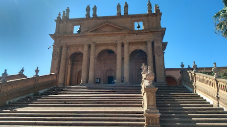
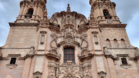
El Refugio — Lagos de Moreno
El Refugio — Rest
El Refugio — Copala
El Refugio — Xalostoc
El Refugio — Melchor Ocampo
El Refugio — Chetumal
El Refugio — El Bolsón
El Refugio — Tlacolula de Matamoros
El Arenal
La Venta del Astillero
La Venta del Astillero
Zapopan
Zapopan
Zapopan
Vallarta
Guadalajara
Guadalajara
Railway
Tlaquepaque
Tlaquepaque
Tonalá
Puente Grande
La Laja
Zapotlanejo
Acatic
Tierras Coloradas
Cuatro Caminos
Tepatitlan de Morelos
Valle de Guadalupe
Jalostotitlán
San Juan de los Lagos
El Refugio — Nicolás Bravo
El Refugio — San Antonio Matute
El Refugio — San Antonio
El Refugio — Uriangato
El Refugio — Juchitlán
El Refugio — El Sauz
El Refugio — Playa del Carmen
El Refugio — Xonacatlán
El Refugio — Tonila
El Refugio — Tres Marias
El Refugio — Atlapexco
El Refugio — Lagos de Moreno
El Refugio — Rest
El Refugio — Copala
El Refugio — Xalostoc
El Refugio — Melchor Ocampo
El Refugio — Chetumal
El Refugio — El Bolsón
El Refugio — Tlacolula de Matamoros
El Arenal
La Venta del Astillero
La Venta del Astillero
Zapopan
Zapopan
Zapopan
Vallarta
Guadalajara
Guadalajara
Railway
Tlaquepaque
Tlaquepaque
Tonalá
Puente Grande
La Laja
Zapotlanejo
Acatic
Tierras Coloradas
Cuatro Caminos
Tepatitlan de Morelos
Valle de Guadalupe
Jalostotitlán
San Juan de los Lagos
El Refugio — Lagos de Moreno distance, route on the map
Distance by car
Distance between El Refugio, Jalisco, Mexico and Lagos de Moreno, Jalisco, Mexico by car is — km, or miles. To travel this distance by car, you need minute, or h.
Route on the map, driving directions
Car route El Refugio — Lagos de Moreno was created automatically. The road on the map is shown as a blue line. By moving the markers, you can create a new route through the points you need.
Passing cities through which the car route passes: Tala, El Arenal, La Venta del Astillero, La Venta del Astillero, Zapopan, Zapopan, Zapopan, Vallarta, Guadalajara, Guadalajara, Railway, Tlaquepaque, Tlaquepaque, Tonalá, Puente Grande, La Laja, Zapotlanejo, Acatic, Tierras Coloradas, Cuatro Caminos, Tepatitlan de Morelos, Valle de Guadalupe, Jalostotitlán, San Juan de los Lagos.
Distance by plane
If you decide to take a trip El Refugio Lagos de Moreno by plane, then you have to fly the distance — 203 km or 126 miles. It is marked on the map with a gray line (between two points in a straight line).
Flight time
Estimated flight time El Refugio Lagos de Moreno by plane at cruising speed 750 km / h will be — 16 min.
Direction of movement
Mexico, El Refugio — right-hand traffic. Mexico, Lagos de Moreno — right-hand traffic.
Difference in time
El Refugio and Lagos de Moreno are in the same time zone. Between them there is no time difference (UTC -6 America/Mexico_City).
Interesting Facts
Information on alternative ways to get to your destination.
The length of this distance is about 0.5% of the total length of the equator.
The percentage of the population is clearly shown in the graph:
El Refugio — 5,694 (less by 78,983), Lagos de Moreno — 84,677 residents.
The cost of travel
Calculate the cost of the trip yourself using the fuel consumption calculator, changing the data in the table.