El Arenal — Maní
El Arenal — Soto la Marina
El Arenal — El Naranjo
El Arenal — Aldea de Codornices
El Arenal — Maravatío
El Arenal — Punta de Mita
El Arenal — Hueyapan de Ocampo
El Arenal — Valtierrilla
El Arenal — Sabancuy
El Arenal — Cozumel International Airport
El Arenal — El Clavel
El Arenal — Rinconada
El Arenal — Presa de Guadalupe
El Arenal — San Pedro Ecatepec
El Arenal — La Calera
El Arenal — Delicias
El Arenal — Volaris Gualadajara
El Arenal — Atascaderos
El Arenal — Palm Valley
Magdalena Municipality
Ixtlán del Río
Ixtlán del Río
Jala
Colonia el Ahualamo
Santa María del Oro
Xalisco
Tepic
Guayabitos
La Guinea
Yago Station
El Capomal
Ruiz
Paso Real del Bejuco
Rosamorada
Tecuala
La Concha
Reform
El Rosario
El Huajote
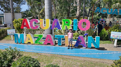
Villa Unión
Mazatlán International Airport
El Arenal — Maní
El Arenal — Soto la Marina
El Arenal — El Naranjo
El Arenal — Aldea de Codornices
El Arenal — Maravatío
El Arenal — Punta de Mita
El Arenal — Hueyapan de Ocampo
El Arenal — Valtierrilla
El Arenal — Sabancuy
El Arenal — Cozumel International Airport
El Arenal — El Clavel
El Arenal — Rinconada
El Arenal — Presa de Guadalupe
El Arenal — San Pedro Ecatepec
El Arenal — La Calera
El Arenal — Delicias
El Arenal — Volaris Gualadajara
El Arenal — Atascaderos
El Arenal — Palm Valley
Magdalena Municipality
Ixtlán del Río
Ixtlán del Río
Jala
Colonia el Ahualamo
Santa María del Oro
Xalisco
Tepic
Guayabitos
La Guinea
Yago Station
El Capomal
Ruiz
Paso Real del Bejuco
Rosamorada
Tecuala
La Concha
Reform
El Rosario
El Huajote
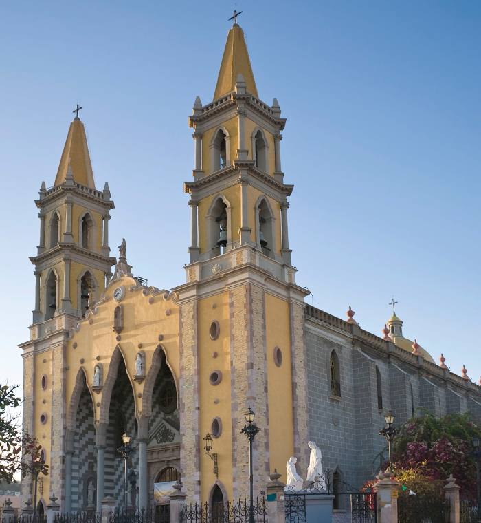
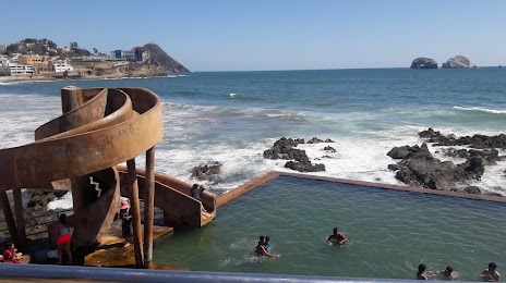
Villa Unión
Mazatlán International Airport
El Arenal — Mazatlán distance, route on the map
Distance by car
Distance between El Arenal, Jalisco, Mexico and Mazatlán, Sinaloa, Mexico by car is — km, or miles. To travel this distance by car, you need minute, or h.
Route on the map, driving directions
Car route El Arenal — Mazatlán was created automatically. The road on the map is shown as a blue line. By moving the markers, you can create a new route through the points you need.
Passing cities through which the car route passes: Tequila, Magdalena Municipality, Ixtlán del Río, Ixtlán del Río, Jala, Colonia el Ahualamo, Santa María del Oro, Xalisco, Tepic, Guayabitos, La Guinea, Yago Station, El Capomal, Ruiz, Paso Real del Bejuco, Rosamorada, Tecuala, La Concha, Reform, El Rosario, El Huajote, Villa Unión, Mazatlán International Airport.
Distance by plane
If you decide to take a trip El Arenal Mazatlán by plane, then you have to fly the distance — 399 km or 247 miles. It is marked on the map with a gray line (between two points in a straight line).
Flight time
Estimated flight time El Arenal Mazatlán by plane at cruising speed 750 km / h will be — 31 min.
Direction of movement
Mexico, El Arenal — right-hand traffic. Mexico, Mazatlán — right-hand traffic.
Difference in time
El Arenal and Mazatlán are in different time zones. The time difference is 1 hour (UTC -6 America/Mexico_City, UTC -7 America/Mazatlan).
Interesting Facts
Information on alternative ways to get to your destination.
The length of this distance is about 1.0% of the total length of the equator.
The percentage of the population is clearly shown in the graph:
El Arenal — 10,309 (less by 344,421), Mazatlán — 354,730 residents.
The cost of travel
Calculate the cost of the trip yourself using the fuel consumption calculator, changing the data in the table.