Puente Grande — Chipilo
Puente Grande — La Potasa
Puente Grande — Tejedores
Puente Grande — Creel
Puente Grande — Tultitlán
Puente Grande — Villa de Ramos
Puente Grande — A Nicolás Bravo
Puente Grande — Carretera Uman - Hopelchen km 101
Puente Grande — Tultepec
Puente Grande — Feliciano
Puente Grande — Putla Villa de Guerrero
Puente Grande — Colonia Alamillo
Puente Grande — Lázaro Cárdenas
Puente Grande — Tlapacoyan
Puente Grande — Suaqui Grande
Puente Grande — Teya
Puente Grande — Atenco
Puente Grande — San Miguel el Alto
Puente Grande — Zapote
Tlaquepaque
Tlaquepaque
Railway
Guadalajara
Guadalajara
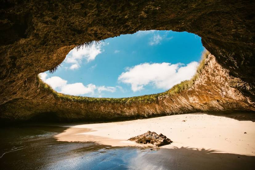
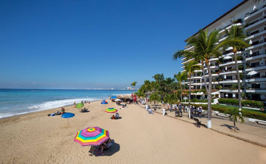
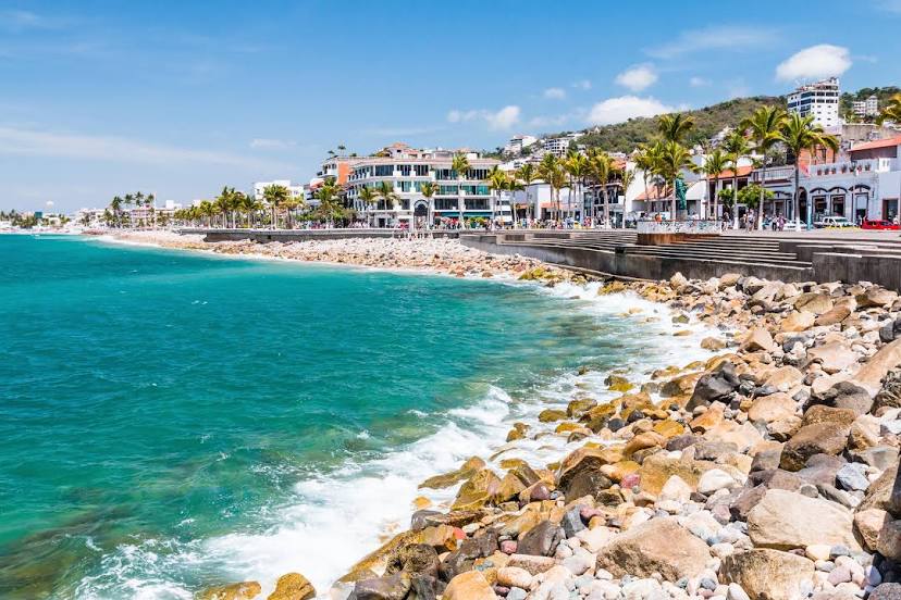
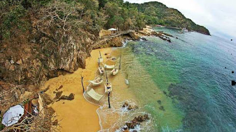
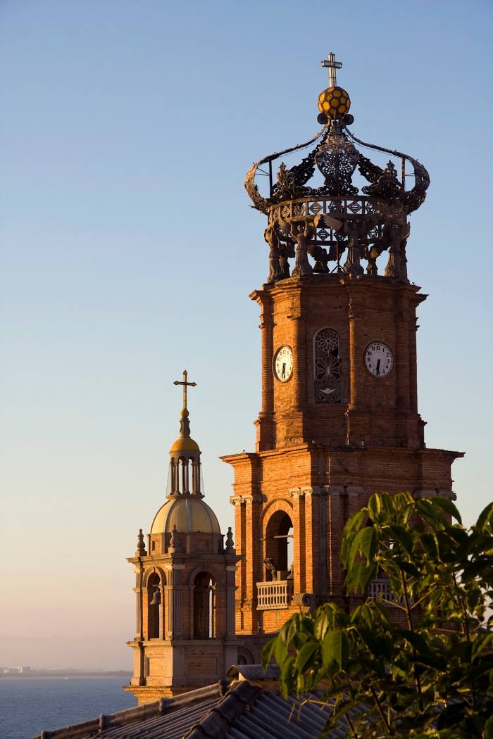
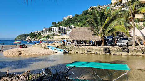
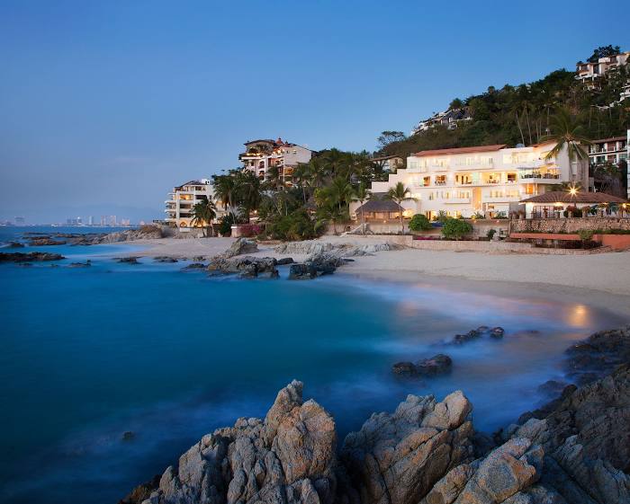
Vallarta
Zapopan
Zapopan
Zapopan
La Venta del Astillero
La Venta del Astillero
El Arenal
Tequila
Magdalena Municipality
Ixtlán del Río
Ixtlán del Río
Jala
Colonia el Ahualamo
San Pedro Lagunillas
Lagunillas
Compostela
Las Varas
Chacala
Rincón de Guayabitos
Rincón de Guayabitos
Punta Raza
San Francisco
Sayulita
Bucerías
San Vicente
Nuevo Vallarta
The meetings
Puente Grande — Chipilo
Puente Grande — La Potasa
Puente Grande — Tejedores
Puente Grande — Creel
Puente Grande — Tultitlán
Puente Grande — Villa de Ramos
Puente Grande — A Nicolás Bravo
Puente Grande — Carretera Uman - Hopelchen km 101
Puente Grande — Tultepec
Puente Grande — Feliciano
Puente Grande — Putla Villa de Guerrero
Puente Grande — Colonia Alamillo
Puente Grande — Lázaro Cárdenas
Puente Grande — Tlapacoyan
Puente Grande — Suaqui Grande
Puente Grande — Teya
Puente Grande — Atenco
Puente Grande — San Miguel el Alto
Puente Grande — Zapote
Tlaquepaque
Tlaquepaque
Railway
Guadalajara
Guadalajara
Vallarta
Zapopan
Zapopan
Zapopan
La Venta del Astillero
La Venta del Astillero
El Arenal
Tequila
Magdalena Municipality
Ixtlán del Río
Ixtlán del Río
Jala
Colonia el Ahualamo
San Pedro Lagunillas
Lagunillas
Compostela
Las Varas
Chacala
Rincón de Guayabitos
Rincón de Guayabitos
Punta Raza
San Francisco
Sayulita
Bucerías
San Vicente
Nuevo Vallarta
The meetings
Puente Grande — Puerto Vallarta distance, route on the map
Distance by car
Distance between Puente Grande, Jalisco, Mexico and Puerto Vallarta, Jalisco, Mexico by car is — km, or miles. To travel this distance by car, you need minute, or h.
Route on the map, driving directions
Car route Puente Grande — Puerto Vallarta was created automatically. The road on the map is shown as a blue line. By moving the markers, you can create a new route through the points you need.
Passing cities through which the car route passes: Tonalá, Tlaquepaque, Tlaquepaque, Railway, Guadalajara, Guadalajara, Vallarta, Zapopan, Zapopan, Zapopan, La Venta del Astillero, La Venta del Astillero, El Arenal, Tequila, Magdalena Municipality, Ixtlán del Río, Ixtlán del Río, Jala, Colonia el Ahualamo, San Pedro Lagunillas, Lagunillas, Compostela, Las Varas, Chacala, Rincón de Guayabitos, Rincón de Guayabitos, Punta Raza, San Francisco, Sayulita, Bucerías, San Vicente, Nuevo Vallarta, The meetings.
Distance by plane
If you decide to take a trip Puente Grande Puerto Vallarta by plane, then you have to fly the distance — 216 km or 134 miles. It is marked on the map with a gray line (between two points in a straight line).
Flight time
Estimated flight time Puente Grande Puerto Vallarta by plane at cruising speed 750 km / h will be — 17 min.
Direction of movement
Mexico, Puente Grande — right-hand traffic. Mexico, Puerto Vallarta — right-hand traffic.
Difference in time
Puente Grande and Puerto Vallarta are in the same time zone. Between them there is no time difference (UTC -6 America/Mexico_City).
Interesting Facts
Information on alternative ways to get to your destination.
The length of this distance is about 0.5% of the total length of the equator.
The percentage of the population is clearly shown in the graph:
Puente Grande — 5,636 (less by 181,507), Puerto Vallarta — 187,143 residents.
The cost of travel
Calculate the cost of the trip yourself using the fuel consumption calculator, changing the data in the table.