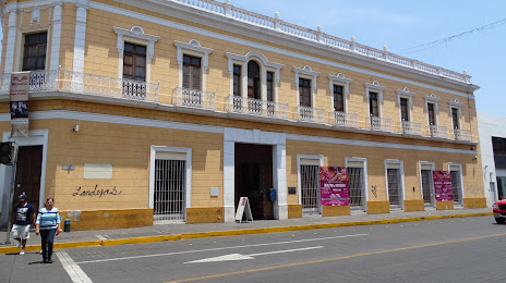
San Gabriel — Tamaulipas
San Gabriel — Xpujil
San Gabriel — Cm 31-e
San Gabriel — Aconchi
San Gabriel — Trancoso
San Gabriel — Nopalapan
San Gabriel — Tierra Blanca
San Gabriel — Apaseo
San Gabriel — Acanceh
San Gabriel — Calimaya
San Gabriel — Moroleón
San Gabriel — Tzimol
San Gabriel — Tizimín
San Gabriel — Tlacotepec
San Gabriel — Francisco Primo de Verdad
San Gabriel — La Salina
San Gabriel — Telcruz
San Gabriel — Real del Monte
San Gabriel — Colonia Enríquez
Atoyac
Zacoalco de Torres
El Molino
Acatlán de Juárez
Buenavista
The Collective
San Isidro Mazatepec
Tala
El Refugio
El Arenal
Tequila
Magdalena Municipality
Ixtlán del Río
Ixtlán del Río
Jala
Colonia el Ahualamo
Santa María del Oro
Xalisco
San Gabriel — Tepic distance, route on the map
Distance by car
Distance between San Gabriel, Jalisco, Mexico and Tepic, Nayarit, Mexico by car is — km, or miles. To travel this distance by car, you need minute, or h.
Route on the map, driving directions
Car route San Gabriel — Tepic was created automatically. The road on the map is shown as a blue line. By moving the markers, you can create a new route through the points you need.
Passing cities through which the car route passes: Sayula, Atoyac, Zacoalco de Torres, El Molino, Acatlán de Juárez, Buenavista, The Collective, San Isidro Mazatepec, Tala, El Refugio, El Arenal, Tequila, Magdalena Municipality, Ixtlán del Río, Ixtlán del Río, Jala, Colonia el Ahualamo, Santa María del Oro, Xalisco.
Distance by plane
If you decide to take a trip San Gabriel Tepic by plane, then you have to fly the distance — 228 km or 141 miles. It is marked on the map with a gray line (between two points in a straight line).
Flight time
Estimated flight time San Gabriel Tepic by plane at cruising speed 750 km / h will be — 18 min.
Direction of movement
Mexico, San Gabriel — right-hand traffic. Mexico, Tepic — right-hand traffic.
Difference in time
San Gabriel and Tepic are in different time zones. The time difference is 1 hour (UTC -6 America/Mexico_City, UTC -7 America/Mazatlan).
Interesting Facts
Information on alternative ways to get to your destination.
The length of this distance is about 0.6% of the total length of the equator.
The percentage of the population is clearly shown in the graph:
San Gabriel — 14,939 (less by 265,663), Tepic — 280,602 residents.
The cost of travel
Calculate the cost of the trip yourself using the fuel consumption calculator, changing the data in the table.