La Cruz — Apaseo el Grande
La Cruz — Zacualpan
La Cruz — Acanceh
La Cruz — El Porvenir
La Cruz — Matlapa
La Cruz — Vado
La Cruz — La Concordia
La Cruz — Orizatlán
La Cruz — Izúcar de Matamoros
La Cruz — Altata
La Cruz — Tecámac de Felipe Villanueva
La Cruz — El Cedral
La Cruz — Guadalupe Victoria
La Cruz — Roads
La Cruz — Oriental
La Cruz — The Choapas
La Cruz — Julian White
La Cruz — Sentispac
La Cruz — Ignacio Zaragoza
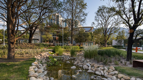
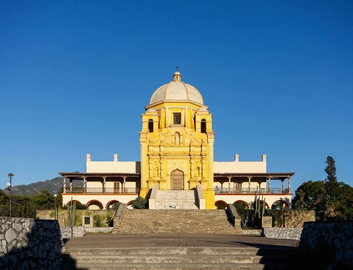
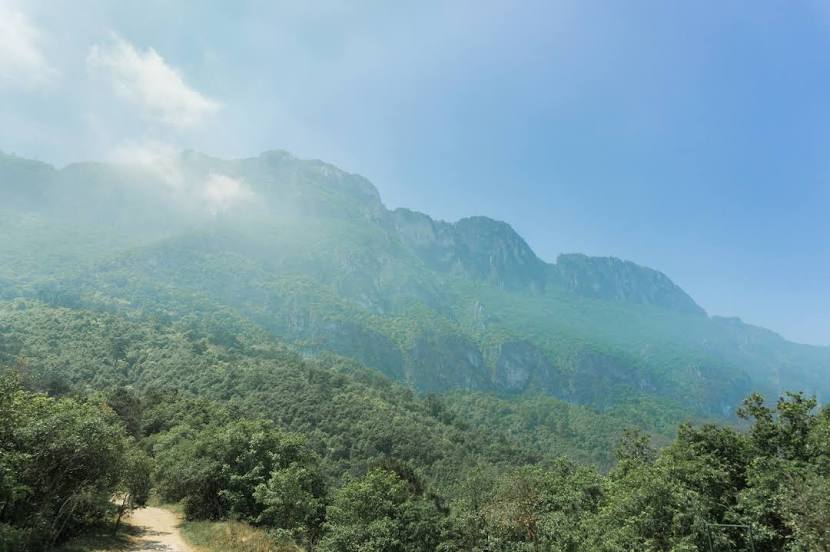
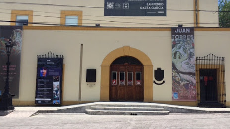
La Cruz — San Pedro Garza García distance, route on the map
Distance by car
Distance between La Cruz, Sinaloa, Mexico and San Pedro Garza García, Nuevo León, Mexico by car is — km, or miles. To travel this distance by car, you need minute, or h.
Route on the map, driving directions
Car route La Cruz — San Pedro Garza García was created automatically. The road on the map is shown as a blue line. By moving the markers, you can create a new route through the points you need.
Distance by plane
If you decide to take a trip La Cruz San Pedro Garza García by plane, then you have to fly the distance — 683 km or 423 miles. It is marked on the map with a gray line (between two points in a straight line).
Flight time
Estimated flight time La Cruz San Pedro Garza García by plane at cruising speed 750 km / h will be — 54 min.
Direction of movement
Mexico, La Cruz — right-hand traffic. Mexico, San Pedro Garza García — right-hand traffic.
Difference in time
La Cruz and San Pedro Garza García are in different time zones. The time difference is 1 hour (UTC -7 America/Mazatlan, UTC -6 America/Mexico_City).
Interesting Facts
Information on alternative ways to get to your destination.
The length of this distance is about 1.7% of the total length of the equator.
The percentage of the population is clearly shown in the graph:
La Cruz — 11,900 (less by 110,109), San Pedro Garza García — 122,009 residents.
The cost of travel
Calculate the cost of the trip yourself using the fuel consumption calculator, changing the data in the table.