San Martin — Abriaquí
San Martin — Canalete
San Martin — Cotorra
San Martin — Montenegro
San Martin — Punta Espada
San Martin — Payan
San Martin — San Pedro
San Martin — Doradal
San Martin — El Viajano
San Martin — Corinto
San Martin — Arenal del Sur
San Martin — Gualmatán
San Martin — San Diego
San Martin — Chinulito
San Martin — La Gorgona
San Martin — Chitaraque
San Martin — Pianguita
San Martin — Bochalema
San Martin — Cordoba
Acacias
Villavicencio
Villavicencio
Pipiral
Guayabetal
Quetame
Plank
Cáqueza
Chipaque
Ciudad Bolívar
Bogota
Puente Aranda
Santa Fe
Teusaquillo
Bogotá
Bogotá
Bogotá
El Dorado Luis Carlos Galan Sarmiento International Airport
Funza
Stone bridge
El Rosal
Mancilla
San Francisco
San Francisco
Nocaima
Quebradanegra
Villeta
Guaduas
Puerto Salgar
CALDAS
Puerto Triunfo
Puerto Boyacá
Puerto Perales Nuevo
Puerto Nare
Puerto Serviez
Cimitarra
Puerto Araujo-Cimitarra
Yarima
Dagota
Chiguagua
San Alberto
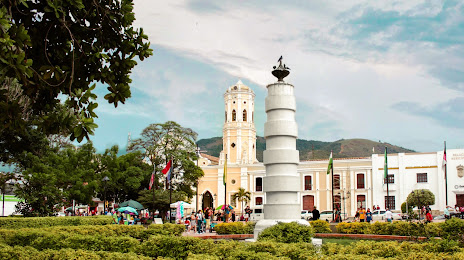
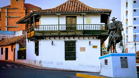
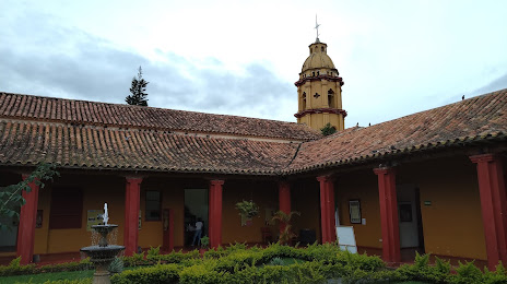
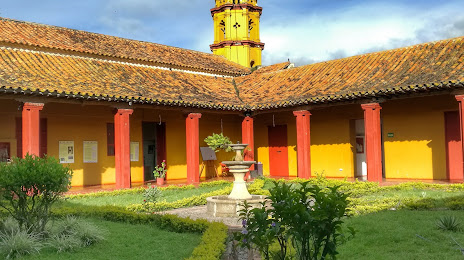
San Martín
Icotea
Aguachica
Río de Oro
San Martin — Abriaquí
San Martin — Canalete
San Martin — Cotorra
San Martin — Montenegro
San Martin — Punta Espada
San Martin — Payan
San Martin — San Pedro
San Martin — Doradal
San Martin — El Viajano
San Martin — Corinto
San Martin — Arenal del Sur
San Martin — Gualmatán
San Martin — San Diego
San Martin — Chinulito
San Martin — La Gorgona
San Martin — Chitaraque
San Martin — Pianguita
San Martin — Bochalema
San Martin — Cordoba
Acacias
Villavicencio
Villavicencio
Pipiral
Guayabetal
Quetame
Plank
Cáqueza
Chipaque
Ciudad Bolívar
Bogota
Puente Aranda
Santa Fe
Teusaquillo
Bogotá
Bogotá
Bogotá
El Dorado Luis Carlos Galan Sarmiento International Airport
Funza
Stone bridge
El Rosal
Mancilla
San Francisco
San Francisco
Nocaima
Quebradanegra
Villeta
Guaduas
Puerto Salgar
CALDAS
Puerto Triunfo
Puerto Boyacá
Puerto Perales Nuevo
Puerto Nare
Puerto Serviez
Cimitarra
Puerto Araujo-Cimitarra
Yarima
Dagota
Chiguagua
San Alberto
San Martín
Icotea
Aguachica
Río de Oro
San Martin — Ocaña distance, route on the map
Distance by car
Distance between San Martin, Meta, Colombia and Ocaña, North Santander, Colombia by car is — km, or miles. To travel this distance by car, you need minute, or h.
Route on the map, driving directions
Car route San Martin — Ocaña was created automatically. The road on the map is shown as a blue line. By moving the markers, you can create a new route through the points you need.
Passing cities through which the car route passes: Castilla La Nueva, Acacias, Villavicencio, Villavicencio, Pipiral, Guayabetal, Quetame, Plank, Cáqueza, Chipaque, Ciudad Bolívar, Bogota, Puente Aranda, Santa Fe, Teusaquillo, Bogotá, Bogotá, Bogotá, El Dorado Luis Carlos Galan Sarmiento International Airport, Funza, Stone bridge, El Rosal, Mancilla, San Francisco, San Francisco, Nocaima, Quebradanegra, Villeta, Guaduas, Puerto Salgar, CALDAS, Puerto Triunfo, Puerto Boyacá, Puerto Perales Nuevo, Puerto Nare, Puerto Serviez, Cimitarra, Puerto Araujo-Cimitarra, Yarima, Dagota, Chiguagua, San Alberto, San Martín, Icotea, Aguachica, Río de Oro.
Distance by plane
If you decide to take a trip San Martin Ocaña by plane, then you have to fly the distance — 508 km or 315 miles. It is marked on the map with a gray line (between two points in a straight line).
Flight time
Estimated flight time San Martin Ocaña by plane at cruising speed 750 km / h will be — 40 min.
Direction of movement
Colombia, San Martin — right-hand traffic. Colombia, Ocaña — right-hand traffic.
Difference in time
San Martin and Ocaña are in the same time zone. Between them there is no time difference (UTC -5 America/Bogota).
Interesting Facts
Information on alternative ways to get to your destination.
The length of this distance is about 1.3% of the total length of the equator.
The percentage of the population is clearly shown in the graph:
San Martin — 16,274 (less by 67,237), Ocaña — 83,511 residents.
The cost of travel
Calculate the cost of the trip yourself using the fuel consumption calculator, changing the data in the table.