Maruim — Guidoval
Maruim — Traipu
Maruim — Ampére
Maruim — Monteiro Lobato
Maruim — Floresta do Araguaia
Maruim — Iretama
Maruim — Jerônimo Monteiro
Maruim — Amargosa
Maruim — Bom Jardim
Maruim — Macau
Maruim — Arealva
Maruim — Felício dos Santos
Maruim — Benedito Novo
Maruim — Trancoso
Maruim — Carangola
Maruim — Benjamin Constant
Maruim — Júlio de Castilhos
Maruim — Rorainópolis
Maruim — Santa Maria
Aracaju
São Cristóvão
Estância
Esplanada
Entre Rios
Alagoinhas
Teodoro Sampaio
Cachoeira
Muritiba
Cruz das Almas
Santo Antônio de Jesus
Gandu
Ubaitaba
Itabuna
Buerarema
Itamaraju
São Mateus
Shell
Linhares
Guaraná
João Neiva
Ibiraçu
Fundão
Serra
Eldorado
Barcelona
Planalto de Carapina
Vitória
Maruim — Guidoval
Maruim — Traipu
Maruim — Ampére
Maruim — Monteiro Lobato
Maruim — Floresta do Araguaia
Maruim — Iretama
Maruim — Jerônimo Monteiro
Maruim — Amargosa
Maruim — Bom Jardim
Maruim — Macau
Maruim — Arealva
Maruim — Felício dos Santos
Maruim — Benedito Novo
Maruim — Trancoso
Maruim — Carangola
Maruim — Benjamin Constant
Maruim — Júlio de Castilhos
Maruim — Rorainópolis
Maruim — Santa Maria
Aracaju
São Cristóvão
Estância
Esplanada
Entre Rios
Alagoinhas
Teodoro Sampaio
Cachoeira
Muritiba
Cruz das Almas
Santo Antônio de Jesus
Gandu
Ubaitaba
Itabuna
Buerarema
Itamaraju
São Mateus
Shell
Linhares
Guaraná
João Neiva
Ibiraçu
Fundão
Serra
Eldorado
Barcelona
Planalto de Carapina
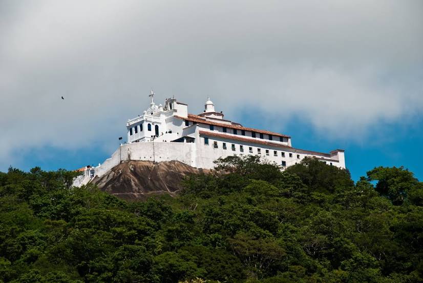
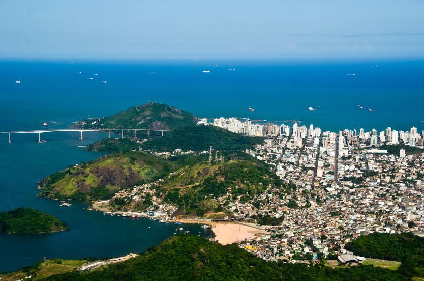
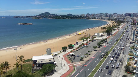
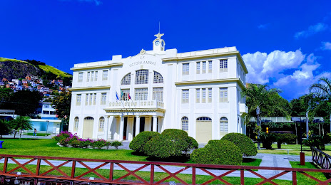
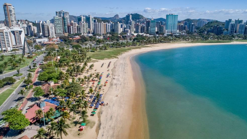
Vitória
Maruim — Vila Velha distance, route on the map
Distance by car
Distance between Maruim, Sergipe, Brazil and Vila Velha, Espírito Santo, Brazil by car is — km, or miles. To travel this distance by car, you need minute, or h.
Route on the map, driving directions
Car route Maruim — Vila Velha was created automatically. The road on the map is shown as a blue line. By moving the markers, you can create a new route through the points you need.
Passing cities through which the car route passes: Laranjeiras, Aracaju, São Cristóvão, Estância, Esplanada, Entre Rios, Alagoinhas, Teodoro Sampaio, Cachoeira, Muritiba, Cruz das Almas, Santo Antônio de Jesus, Gandu, Ubaitaba, Itabuna, Buerarema, Itamaraju, São Mateus, Shell, Linhares, Guaraná, João Neiva, Ibiraçu, Fundão, Serra, Eldorado, Barcelona, Planalto de Carapina, Vitória.
Distance by plane
If you decide to take a trip Maruim Vila Velha by plane, then you have to fly the distance — 1123 km or 696 miles. It is marked on the map with a gray line (between two points in a straight line).
Flight time
Estimated flight time Maruim Vila Velha by plane at cruising speed 750 km / h will be — 1 h. and 29 min.
Direction of movement
Brazil, Maruim — right-hand traffic. Brazil, Vila Velha — right-hand traffic.
Difference in time
Maruim and Vila Velha are in the same time zone. Between them there is no time difference (UTC -3 America/Fortaleza).
Interesting Facts
Information on alternative ways to get to your destination.
The length of this distance is about 2.8% of the total length of the equator.
The percentage of the population is clearly shown in the graph:
Maruim — 12,153 (less by 382,784), Vila Velha — 394,937 residents.
The cost of travel
Calculate the cost of the trip yourself using the fuel consumption calculator, changing the data in the table.