
 Sibaté
Yarumal
Marquetalia
Pachavita
Chinú
Florian
Chaguaní
Landázuri
Suesca
Lourdes
Ulloa
Guamal
San Martin
Montebello
Silvania
Palmira
Salamina
Filadelfia
Valparaiso
Sibaté
Yarumal
Marquetalia
Pachavita
Chinú
Florian
Chaguaní
Landázuri
Suesca
Lourdes
Ulloa
Guamal
San Martin
Montebello
Silvania
Palmira
Salamina
Filadelfia
Valparaiso
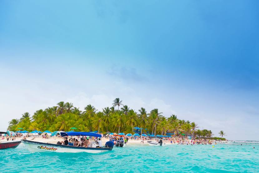
San Andres on the map, Colombia
Where is located San Andres
Exact location — San Andres, Colombia, marked on the map with a red marker.
Coordinates
San Andres, Colombia coordinates in decimal format: latitude — 12.5819157, longitude — -81.7048419. When converted to degrees, minutes, seconds San Andres has the following coordinates: 12°34′54.9 north latitude and -81°42′17.43 east longitude.
Population
San Andres, Colombia, according to our data the population is — 58,258 residents, which is about 0.1% of the total population of the country (Colombia).
Comparison of the population on the graph:
Exact time
Time zone for this location San Andres — UTC -5 America/Bogota. Exact time — friday, 4 april 2024 year, 22 h. 42 minutes.
Sunrise and sunset
San Andres, sunrise and sunset data for a date — friday 26.04.2024.
| Sunrise | Sunset | Day (duration) |
|---|---|---|
| 06:10 -1 minute | 18:38 -0 minutes | 12 h. 30 minutes. +1 minute |
You can control the scale of the map using the auxiliary tools to find out exactly where it is located San Andres. When you change the scale of the map, the width of the ruler also changes (in kilometers and miles).
Nearby cities
The largest cities that are located nearby:
- San Jose
 (Costa Rica) — 392 km
 - San Miguelito
 (Panama) — 458 km
 - Panama (Panama) — 464 km
- Masaya
 (Nicaragua) — 479 km
 - Managua (Nicaragua) — 494 km
- Lion (Nicaragua) — 558 km
- Chinandega (Nicaragua) — 585 km
- Tegucigalpa
 (Honduras) — 614 km
 - La Ceiba (Honduras) — 649 km
- San Miguel
 (El Salvador) — 703 km
 - Cartagena — 713 km
- El Progreso (Honduras) — 721 km
- Choloma (Honduras) — 743 km
- San Pedro Sula (Honduras) — 747 km
- Monteria — 764 km
- Barranquilla — 771 km
- Soledad — 775 km
- Malambo — 776 km
- Sincelejo — 778 km
Distance to neighboring capitals:
- San Jose (Costa Rica) — 394 km
- Panama (Panama) — 466 km
- Quito
 (Ecuador) — 1464 km
 - Caracas
 (Venezuela) — 1626 km
 - Georgetown
 (Guyana) — 2658 km
 - Nuestra Señora de La Paz
 (Bolivia) — 3562 km
 - Asuncion
 (Paraguay) — 4956 km
 - Santiago
 (Chile) — 5251 km
 - Buenos Aires
 (Argentina) — 5797 km
 - Montevideo
 (Uruguay) — 5929 km
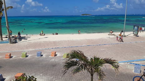
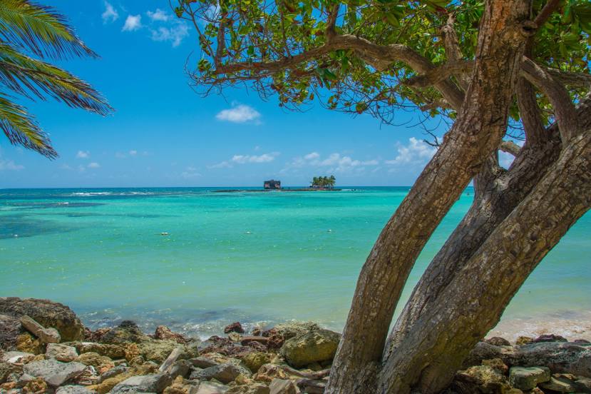
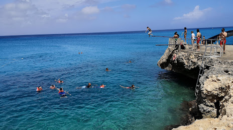
Attractions


Distance to the capital
Distance to the capital (Bogota) is about — 1221 km.