
 Circasia
Rovira
Madrid
San Jeronimo
La Ceja
Sonson
Planeta Rica
Ciénaga De Oro
Sahagun
Chiquinquira
San Andres
Tausa
El Doncello
Tenjo
El Rosal
Gama
Santa Barbara
Anserma
Cogua
Circasia
Rovira
Madrid
San Jeronimo
La Ceja
Sonson
Planeta Rica
Ciénaga De Oro
Sahagun
Chiquinquira
San Andres
Tausa
El Doncello
Tenjo
El Rosal
Gama
Santa Barbara
Anserma
Cogua
Sibaté on the map, Colombia
Where is located Sibaté
Exact location — Sibaté, Sibaté, Cundinamarca, Colombia, marked on the map with a red marker.
Coordinates
Sibaté, Colombia coordinates in decimal format: latitude — 4.49135, longitude — -74.26056. When converted to degrees, minutes, seconds Sibaté has the following coordinates: 4°29′28.86 north latitude and -74°15′38.02 east longitude.
Population
Sibaté, Sibaté, Cundinamarca, Colombia, according to our data the population is — 23,208 residents, which is about 0% of the total population of the country (Colombia).
Comparison of the population on the graph:
Exact time
Time zone for this location Sibaté — UTC -5 America/Bogota. Exact time — sunday, 4 april 2024 year, 20 h. 25 minutes.
Sunrise and sunset
Sibaté, sunrise and sunset data for a date — sunday 28.04.2024.
| Sunrise | Sunset | Day (duration) |
|---|---|---|
| 05:48 -0 minutes | 18:00 -0 minutes | 12 h. 12 minutes. -0 minutes |
You can control the scale of the map using the auxiliary tools to find out exactly where it is located Sibaté. When you change the scale of the map, the width of the ruler also changes (in kilometers and miles).
Nearby cities
The largest cities that are located nearby:
- Soacha — 11 km
- Girardot — 64 km
- Villavicencio — 80 km
- Ibagué — 107 km
- Manizales — 152 km
- Tunja — 154 km
- Armenia — 156 km
- Dos Quebradas — 160 km
- Pereira — 162 km
- Cartago — 184 km
- Sogamoso — 200 km
- Neiva — 207 km
- Tuluá — 218 km
- Buga — 234 km
- Envigado — 237 km
- Itagüi — 238 km
- Medellín — 244 km
- Palmira — 249 km
- Bello — 249 km
Distance to neighboring capitals:
- Quito
 (Ecuador) — 699 km
 - Panama
 (Panama) — 766 km
 - Caracas
 (Venezuela) — 1049 km
 - San Jose
 (Costa Rica) — 1242 km
 - Georgetown
 (Guyana) — 1800 km
 - Nuestra Señora de La Paz
 (Bolivia) — 2430 km
 - Asuncion
 (Paraguay) — 3768 km
 - Santiago
 (Chile) — 4236 km
 - Buenos Aires
 (Argentina) — 4656 km
 - Montevideo
 (Uruguay) — 4773 km
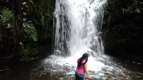
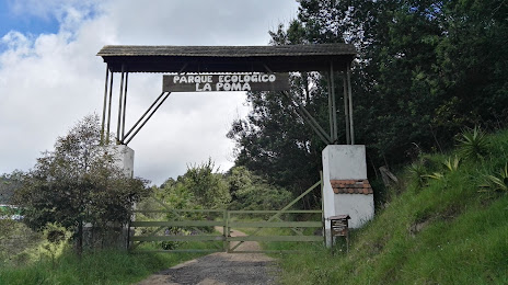
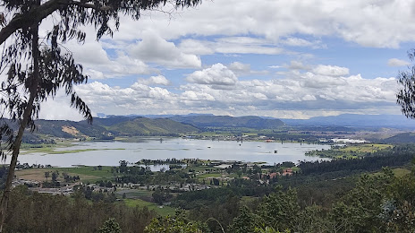
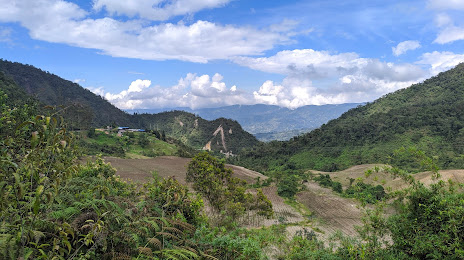
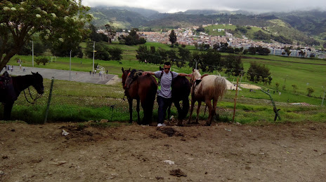
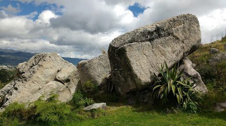
Attractions

Distance to the capital
Distance to the capital (Bogota) is about — 24 km.