San Bartolo — Uxmal
San Bartolo — Oxkutzcab
San Bartolo — Chapala
San Bartolo — Entronque de Matehuala
San Bartolo — El Molino
San Bartolo — Sinaloa
San Bartolo — El Muey
San Bartolo — Santa María Jacatepec
San Bartolo — Altar Municipality
San Bartolo — Múgica
San Bartolo — San José de Gracia
San Bartolo — Palenque
San Bartolo — Rincon de Romos
San Bartolo — Nuevo Casas Grandes Municipality
San Bartolo — Hermosillo
San Bartolo — St. lucia
San Bartolo — Huasca de Ocampo
San Bartolo — Lagunillas de Muñoz
San Bartolo — Doctor González
Coyotepec
Tepotzotlán
Cuautitlan
Cuautitlán Izcalli
Tultitlán
Buenavista
Villas de la Hacienda
Tlalnepantla
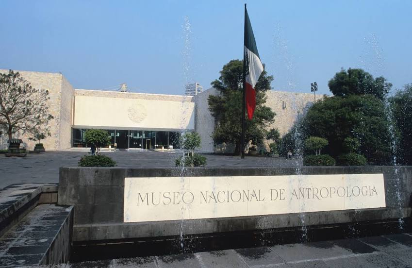
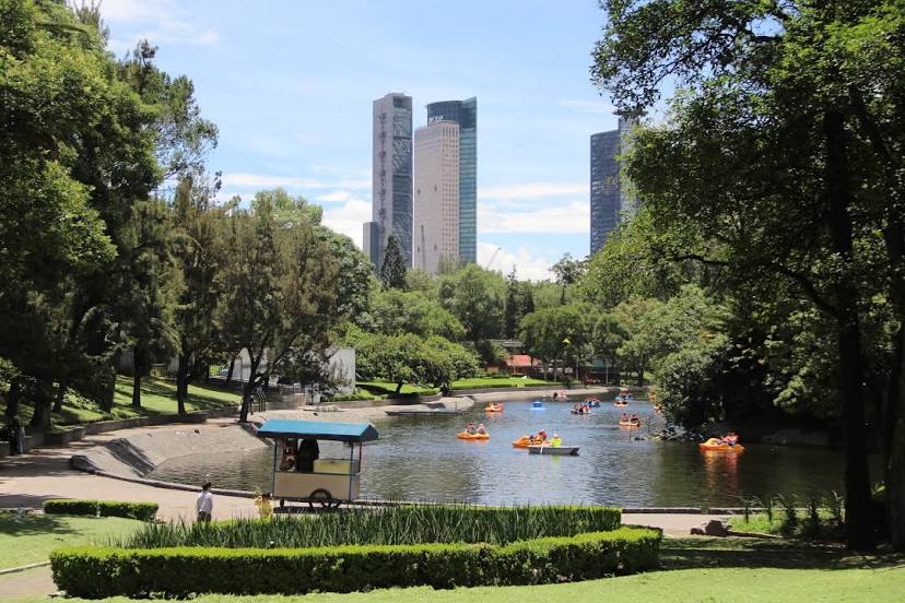
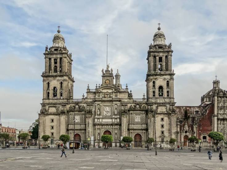
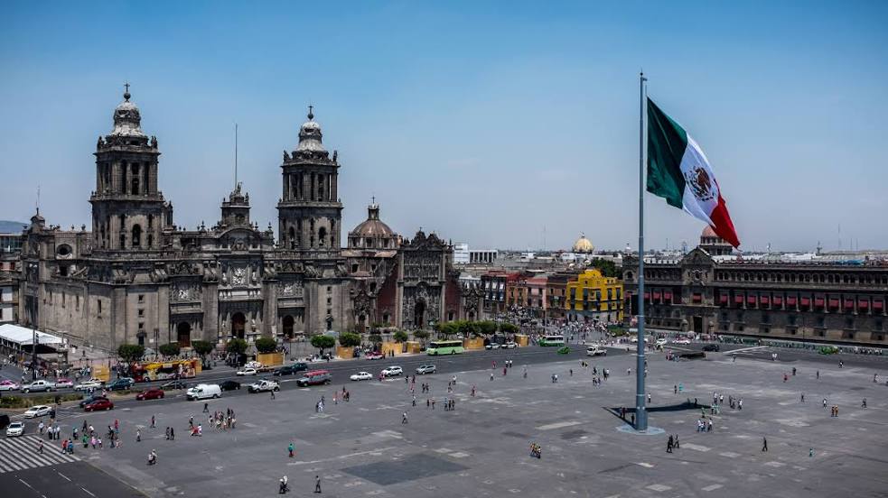
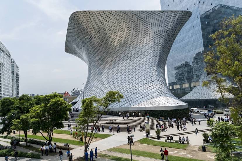
Mexico City
Del Carmen
Guerrero
San Bartolo — Uxmal
San Bartolo — Oxkutzcab
San Bartolo — Chapala
San Bartolo — Entronque de Matehuala
San Bartolo — El Molino
San Bartolo — Sinaloa
San Bartolo — El Muey
San Bartolo — Santa María Jacatepec
San Bartolo — Altar Municipality
San Bartolo — Múgica
San Bartolo — San José de Gracia
San Bartolo — Palenque
San Bartolo — Rincon de Romos
San Bartolo — Nuevo Casas Grandes Municipality
San Bartolo — Hermosillo
San Bartolo — St. lucia
San Bartolo — Huasca de Ocampo
San Bartolo — Lagunillas de Muñoz
San Bartolo — Doctor González
Coyotepec
Tepotzotlán
Cuautitlan
Cuautitlán Izcalli
Tultitlán
Buenavista
Villas de la Hacienda
Tlalnepantla
Mexico City
Del Carmen
Guerrero
San Bartolo — Mexico City distance, route on the map
Distance by car
Distance between San Bartolo, Estado de México, Mexico and Mexico City, Federal District, Mexico by car is — km, or miles. To travel this distance by car, you need minute, or h.
Route on the map, driving directions
Car route San Bartolo — Mexico City was created automatically. The road on the map is shown as a blue line. By moving the markers, you can create a new route through the points you need.
Passing cities through which the car route passes: Huehuetoca, Coyotepec, Tepotzotlán, Cuautitlan, Cuautitlán Izcalli, Tultitlán, Buenavista, Villas de la Hacienda, Tlalnepantla, Mexico City, Del Carmen, Guerrero.
Distance by plane
If you decide to take a trip San Bartolo Mexico City by plane, then you have to fly the distance — 45 km or 28 miles. It is marked on the map with a gray line (between two points in a straight line).
Flight time
Estimated flight time San Bartolo Mexico City by plane at cruising speed 750 km / h will be — 3 min.
Direction of movement
Mexico, San Bartolo — right-hand traffic. Mexico, Mexico City — right-hand traffic.
Difference in time
San Bartolo and Mexico City are in the same time zone. Between them there is no time difference (UTC -6 America/Mexico_City).
Interesting Facts
Information on alternative ways to get to your destination.
The length of this distance is about 0.1% of the total length of the equator.
The percentage of the population is clearly shown in the graph:
San Bartolo — 5,821 (less by 12,288,372), Mexico City — 12,294,193 residents.
The cost of travel
Calculate the cost of the trip yourself using the fuel consumption calculator, changing the data in the table.