Benidoleig — Sarrià de Dalt
Benidoleig — Tocina
Benidoleig — Patro
Benidoleig — Farlete
Benidoleig — Gesaltza Añana
Benidoleig — La Aldea de San Nicolas
Benidoleig — Macastre
Benidoleig — Quintanilla de Onsoña
Benidoleig — Écija
Benidoleig — Galápagos
Benidoleig — Santa Faz
Benidoleig — Pollos
Benidoleig — Pueyo
Benidoleig — Mengíbar
Benidoleig — Mérida
Benidoleig — Jirueque
Benidoleig — Sant Francesc Xavier
Benidoleig — Páramo del Sil
Benidoleig — Gomeznarro
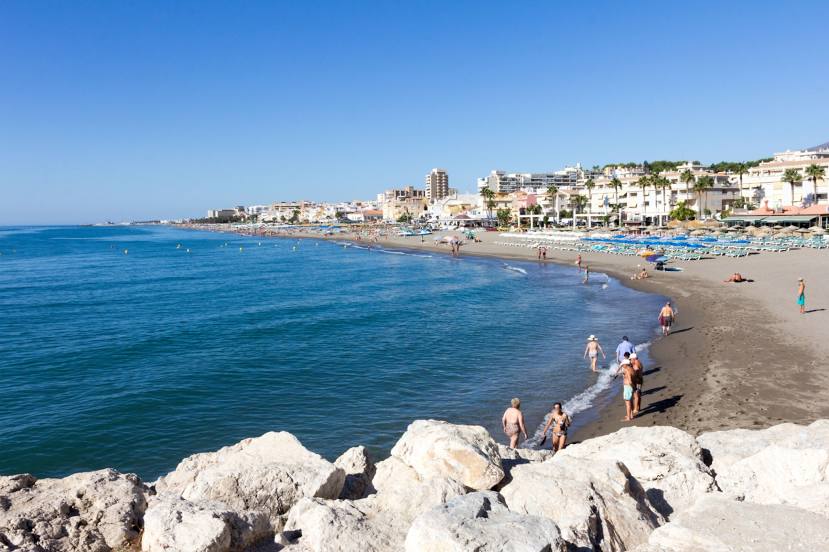
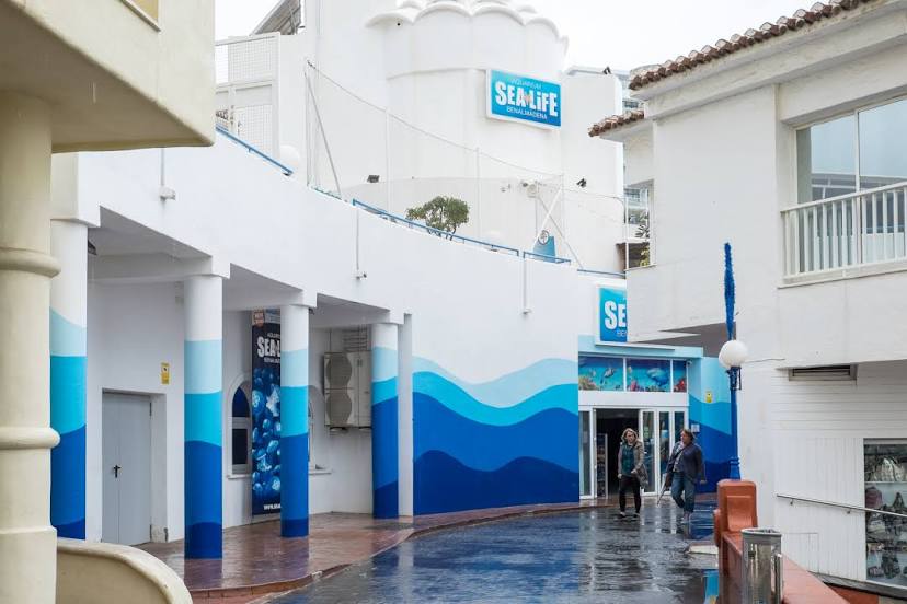
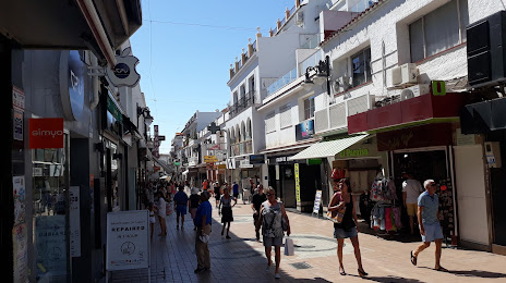
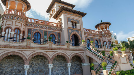
Benidoleig — Torremolinos distance, route on the map
Distance by car
Distance between Benidoleig, Valencian Community, Spain and Torremolinos, Andalucía, Spain by car is — km, or miles. To travel this distance by car, you need minute, or h.
Route on the map, driving directions
Car route Benidoleig — Torremolinos was created automatically. The road on the map is shown as a blue line. By moving the markers, you can create a new route through the points you need.
Distance by plane
If you decide to take a trip Benidoleig Torremolinos by plane, then you have to fly the distance — 461 km or 286 miles. It is marked on the map with a gray line (between two points in a straight line).
Flight time
Estimated flight time Benidoleig Torremolinos by plane at cruising speed 750 km / h will be — 36 min.
Direction of movement
Spain, Benidoleig — right-hand traffic. Spain, Torremolinos — right-hand traffic.
Difference in time
Benidoleig and Torremolinos are in the same time zone. Between them there is no time difference (UTC +2 Europe/Madrid).
Interesting Facts
Information on alternative ways to get to your destination.
The length of this distance is about 1.2% of the total length of the equator.
The percentage of the population is clearly shown in the graph:
Benidoleig — 1,021 (less by 48,391), Torremolinos — 49,412 residents.
The cost of travel
Calculate the cost of the trip yourself using the fuel consumption calculator, changing the data in the table.