San Juan del Puerto — Baterno
San Juan del Puerto — Villardompardo
San Juan del Puerto — Cabrils
San Juan del Puerto — Lardero
San Juan del Puerto — Ajofrín
San Juan del Puerto — Ahillones
San Juan del Puerto — Trespuentes
San Juan del Puerto — Gallifa
San Juan del Puerto — Tharsis
San Juan del Puerto — Monforte del Cid
San Juan del Puerto — Cortes
San Juan del Puerto — Binéfar
San Juan del Puerto — Alhama de Aragón
San Juan del Puerto — Trillo
San Juan del Puerto — Benisanó
San Juan del Puerto — Ruente
San Juan del Puerto — Santomera
San Juan del Puerto — Canena
San Juan del Puerto — Os de Balaguer
Bonares
Niebla
Rociana del Condado
Villarrasa
Bollullos Par
Villalba del Alcor
Manzanilla
Chucena
Carrión de los Céspedes
Sanlúcar la Mayor
Benacazón
Umbrete
Espartinas
Bormujos
Castilleja de la Cuesta
Tomares
Camas
Seville
Fuente del Rey
Dos Hermanas
Utrera
Los Molares
El Coronil
Montellano
Puerto Serrano
Algodonales
El Gastor
Montejaque
San Juan del Puerto — Baterno
San Juan del Puerto — Villardompardo
San Juan del Puerto — Cabrils
San Juan del Puerto — Lardero
San Juan del Puerto — Ajofrín
San Juan del Puerto — Ahillones
San Juan del Puerto — Trespuentes
San Juan del Puerto — Gallifa
San Juan del Puerto — Tharsis
San Juan del Puerto — Monforte del Cid
San Juan del Puerto — Cortes
San Juan del Puerto — Binéfar
San Juan del Puerto — Alhama de Aragón
San Juan del Puerto — Trillo
San Juan del Puerto — Benisanó
San Juan del Puerto — Ruente
San Juan del Puerto — Santomera
San Juan del Puerto — Canena
San Juan del Puerto — Os de Balaguer
Bonares
Niebla
Rociana del Condado
Villarrasa
Bollullos Par
Villalba del Alcor
Manzanilla
Chucena
Carrión de los Céspedes
Sanlúcar la Mayor
Benacazón
Umbrete
Espartinas
Bormujos
Castilleja de la Cuesta
Tomares
Camas
Seville
Fuente del Rey
Dos Hermanas
Utrera
Los Molares
El Coronil
Montellano
Puerto Serrano
Algodonales
El Gastor
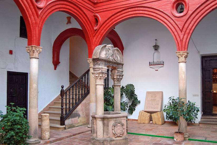
Montejaque
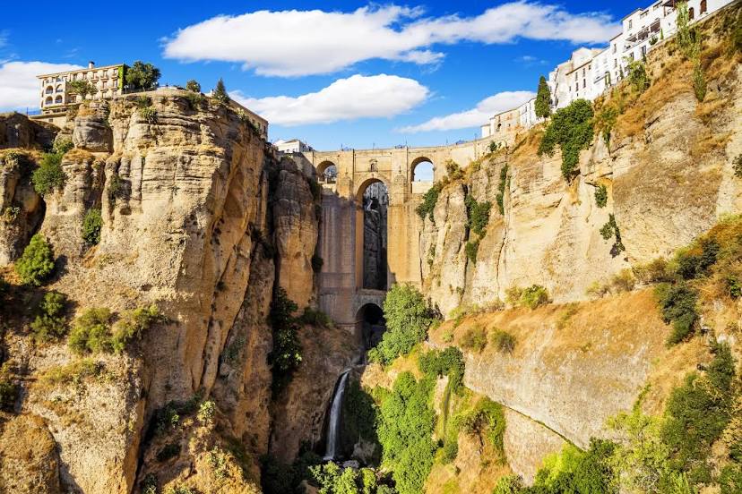
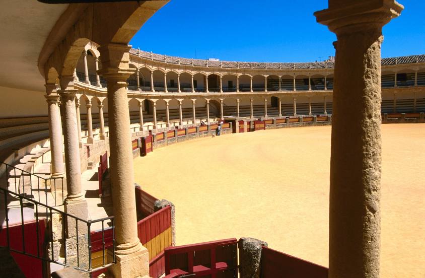
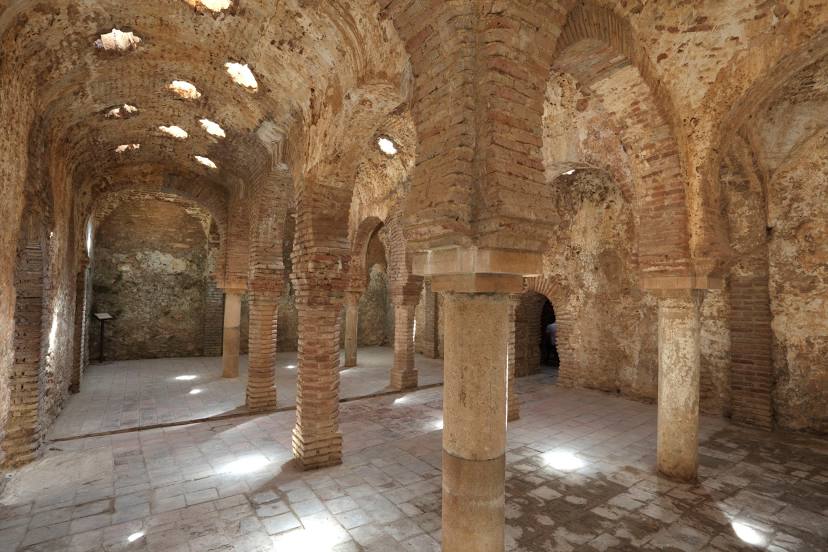
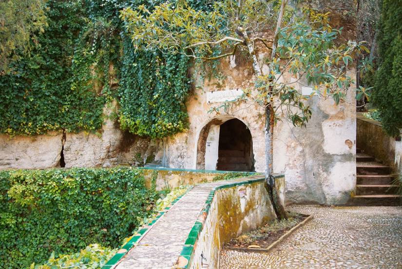
San Juan del Puerto — Ronda distance, route on the map
Distance by car
Distance between San Juan del Puerto, Andalucía, Spain and Ronda, Andalucía, Spain by car is — km, or miles. To travel this distance by car, you need minute, or h.
Route on the map, driving directions
Car route San Juan del Puerto — Ronda was created automatically. The road on the map is shown as a blue line. By moving the markers, you can create a new route through the points you need.
Passing cities through which the car route passes: Lucena del Puerto, Bonares, Niebla, Rociana del Condado, Villarrasa, Bollullos Par, Villalba del Alcor, Manzanilla, Chucena, Carrión de los Céspedes, Sanlúcar la Mayor, Benacazón, Umbrete, Espartinas, Bormujos, Castilleja de la Cuesta, Tomares, Camas, Seville, Fuente del Rey, Dos Hermanas, Utrera, Los Molares, El Coronil, Montellano, Puerto Serrano, Algodonales, El Gastor, Montejaque.
Distance by plane
If you decide to take a trip San Juan del Puerto Ronda by plane, then you have to fly the distance — 162 km or 100 miles. It is marked on the map with a gray line (between two points in a straight line).
Flight time
Estimated flight time San Juan del Puerto Ronda by plane at cruising speed 750 km / h will be — 12 min.
Direction of movement
Spain, San Juan del Puerto — right-hand traffic. Spain, Ronda — right-hand traffic.
Difference in time
San Juan del Puerto and Ronda are in the same time zone. Between them there is no time difference (UTC +2 Europe/Madrid).
Interesting Facts
Information on alternative ways to get to your destination.
The length of this distance is about 0.4% of the total length of the equator.
The percentage of the population is clearly shown in the graph:
San Juan del Puerto — 6,834 (less by 31,206), Ronda — 38,040 residents.
The cost of travel
Calculate the cost of the trip yourself using the fuel consumption calculator, changing the data in the table.