João Neiva — Itapecuru Mirim
João Neiva — International Airport of Brasilia
João Neiva — Jaboticatubas
João Neiva — Rosário
João Neiva — Paraipaba
João Neiva — Pitanga
João Neiva — Salto de Pirapora
João Neiva — Lagoinha
João Neiva — Palotina
João Neiva — Tijucas do Sul
João Neiva — Cachoeira Dourada
João Neiva — Baixo Guandu
João Neiva — Rio Tinto
João Neiva — Indaial
João Neiva — Tumiritinga
João Neiva — Lobato
João Neiva — Gramado
João Neiva — Paulo Afonso
João Neiva — Oriximiná
Linhares
Shell
São Mateus
Itamaraju
Buerarema
Itabuna
Ubaitaba
Gandu
Santo Antônio de Jesus
Cruz das Almas
Muritiba
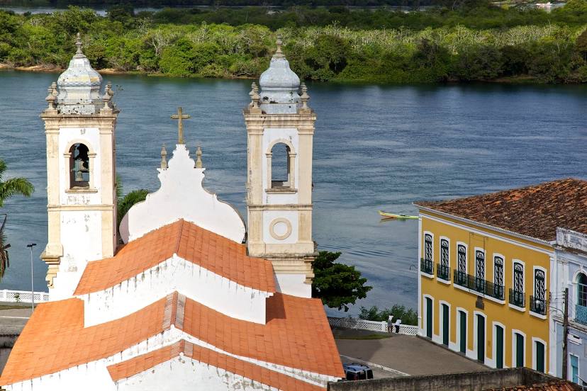
Cachoeira
Teodoro Sampaio
Alagoinhas
Entre Rios
Esplanada
Estância
São Cristóvão
Aracaju
Laranjeiras
Maruim
Igreja Nova
João Neiva — Itapecuru Mirim
João Neiva — International Airport of Brasilia
João Neiva — Jaboticatubas
João Neiva — Rosário
João Neiva — Paraipaba
João Neiva — Pitanga
João Neiva — Salto de Pirapora
João Neiva — Lagoinha
João Neiva — Palotina
João Neiva — Tijucas do Sul
João Neiva — Cachoeira Dourada
João Neiva — Baixo Guandu
João Neiva — Rio Tinto
João Neiva — Indaial
João Neiva — Tumiritinga
João Neiva — Lobato
João Neiva — Gramado
João Neiva — Paulo Afonso
João Neiva — Oriximiná
Linhares
Shell
São Mateus
Itamaraju
Buerarema
Itabuna
Ubaitaba
Gandu
Santo Antônio de Jesus
Cruz das Almas
Muritiba
Cachoeira
Teodoro Sampaio
Alagoinhas
Entre Rios
Esplanada
Estância
São Cristóvão
Aracaju
Laranjeiras
Maruim
Igreja Nova
João Neiva — Penedo distance, route on the map
Distance by car
Distance between João Neiva, Espírito Santo, Brazil and Penedo, Alagoas, Brazil by car is — km, or miles. To travel this distance by car, you need minute, or h.
Route on the map, driving directions
Car route João Neiva — Penedo was created automatically. The road on the map is shown as a blue line. By moving the markers, you can create a new route through the points you need.
Passing cities through which the car route passes: Guaraná, Linhares, Shell, São Mateus, Itamaraju, Buerarema, Itabuna, Ubaitaba, Gandu, Santo Antônio de Jesus, Cruz das Almas, Muritiba, Cachoeira, Teodoro Sampaio, Alagoinhas, Entre Rios, Esplanada, Estância, São Cristóvão, Aracaju, Laranjeiras, Maruim, Igreja Nova.
Distance by plane
If you decide to take a trip João Neiva Penedo by plane, then you have to fly the distance — 1129 km or 700 miles. It is marked on the map with a gray line (between two points in a straight line).
Flight time
Estimated flight time João Neiva Penedo by plane at cruising speed 750 km / h will be — 1 h. and 30 min.
Direction of movement
Brazil, João Neiva — right-hand traffic. Brazil, Penedo — right-hand traffic.
Difference in time
João Neiva and Penedo are in the same time zone. Between them there is no time difference (UTC -3 America/Sao_Paulo).
Interesting Facts
Information on alternative ways to get to your destination.
The length of this distance is about 2.8% of the total length of the equator.
The percentage of the population is clearly shown in the graph:
João Neiva — 10,383 (less by 31,714), Penedo — 42,097 residents.
The cost of travel
Calculate the cost of the trip yourself using the fuel consumption calculator, changing the data in the table.