Rzezawa — Wygonowo
Rzezawa — Czaplin Mały
Rzezawa — Przeciszów
Rzezawa — Olszyna
Rzezawa — Zbuczyn
Rzezawa — Sowno
Rzezawa — Domaradz
Rzezawa — Łapsze Niżne
Rzezawa — Gidle
Rzezawa — Brąszewice
Rzezawa — Biecz
Rzezawa — Torki
Rzezawa — Kórnica
Rzezawa — Nowa Słupia
Rzezawa — Kleczew
Rzezawa — Komorów
Rzezawa — Bogusze
Rzezawa — Polska Wieś
Rzezawa — Tuchola
Bochnia
Kłaj
Zagórze
Kokotów
Wieliczka
Golkowice
Gaj
Dębniki
John Paul II International Airport Kraków-Balice
Balice
Morawica
Mników
Brzoskwinia
Młynka
Alwernia
Płaza
Trzebinia
Chrzanow
Libiąż
Chełmek
Imielin
Myslowice
Dabrowa Gornicza
Malinowice
Siewierz
Mierzęcice
Pyrzowice
Ożarowice
Katowice Airport
Cynków
Woźniki
Lubsza
Starcza
Mazury
Konopiska
Kopalnia
Downtown
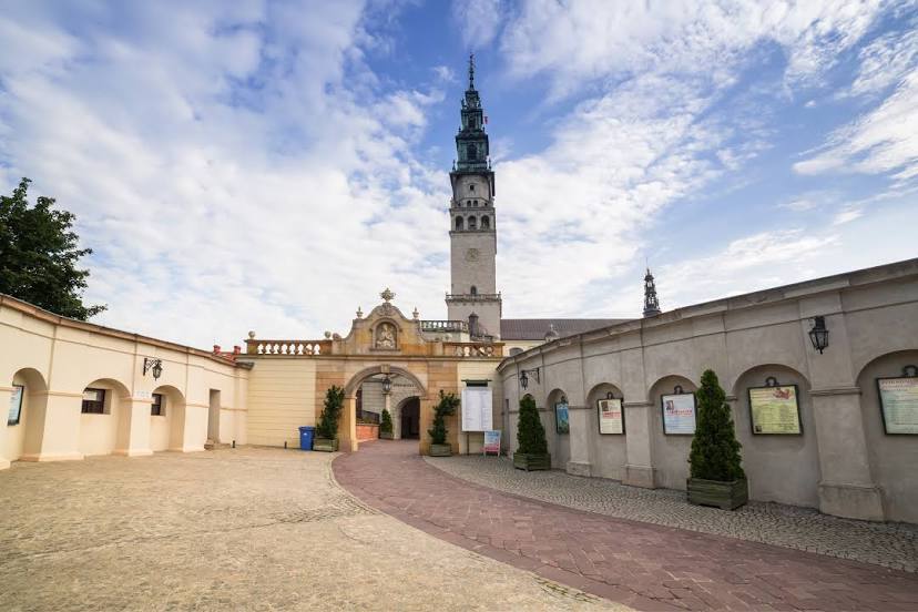
Rzezawa — Częstochowa distance, route on the map
Distance by car
Distance between Rzezawa, Lesser Poland Voivodeship, Poland and Częstochowa, Silesian Voivodeship, Poland by car is — km, or miles. To travel this distance by car, you need minute, or h.
Route on the map, driving directions
Car route Rzezawa — Częstochowa was created automatically. The road on the map is shown as a blue line. By moving the markers, you can create a new route through the points you need.
Passing cities through which the car route passes: Bochnia, Bochnia, Kłaj, Zagórze, Kokotów, Wieliczka, Golkowice, Gaj, Dębniki, John Paul II International Airport Kraków-Balice, Balice, Morawica, Mników, Brzoskwinia, Młynka, Alwernia, Płaza, Trzebinia, Chrzanow, Libiąż, Chełmek, Imielin, Myslowice, Dabrowa Gornicza, Malinowice, Siewierz, Mierzęcice, Pyrzowice, Ożarowice, Katowice Airport, Cynków, Woźniki, Lubsza, Starcza, Mazury, Konopiska, Kopalnia, Downtown.
Distance by plane
If you decide to take a trip Rzezawa Częstochowa by plane, then you have to fly the distance — 135 km or 84 miles. It is marked on the map with a gray line (between two points in a straight line).
Flight time
Estimated flight time Rzezawa Częstochowa by plane at cruising speed 750 km / h will be — 10 min.
Direction of movement
Poland, Rzezawa — right-hand traffic. Poland, Częstochowa — right-hand traffic.
Difference in time
Rzezawa and Częstochowa are in the same time zone. Between them there is no time difference (UTC +2 Europe/Warsaw).
Interesting Facts
Information on alternative ways to get to your destination.
The length of this distance is about 0.3% of the total length of the equator.
The percentage of the population is clearly shown in the graph:
Rzezawa — 2,500 (less by 245,625), Częstochowa — 248,125 residents.
The cost of travel
Calculate the cost of the trip yourself using the fuel consumption calculator, changing the data in the table.