Palmares do Sul — Altair
Palmares do Sul — Arroio do Meio
Palmares do Sul — Lajedo
Palmares do Sul — São Mateus
Palmares do Sul — State of Maranhão
Palmares do Sul — Colombo
Palmares do Sul — São Paulo
Palmares do Sul — Hat Hill
Palmares do Sul — Pedro de Toledo
Palmares do Sul — Lapa
Palmares do Sul — Lagoa Formosa
Palmares do Sul — Junqueiro
Palmares do Sul — Rio Novo
Palmares do Sul — Maragogi
Palmares do Sul — Senador José Bento
Palmares do Sul — Cabrobó
Palmares do Sul — Amapá
Palmares do Sul — Conceição
Palmares do Sul — Sorocaba
Terra de Areia
Torres
Torres
São João do Sul
Sombrio
Araranguá
Maracajá
Içara
Morro da Fumaça
Jaguaruna
Tubarão
Tubarão
Laguna
Imbituba
Ibiraquera
Paulo Lopes
Guarda do Embaú
Palhoça
São José
Biguaçu
Governador Celso Ramos
Tijucas
Meia Praia
Itapema
Itapema
Camboriú
Camboriú
Itajaí
Itajaí
Ilhota
Gaspar
Blumenau
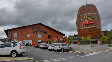
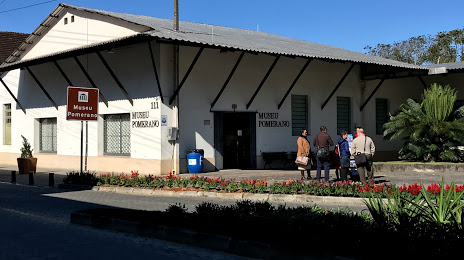
Palmares do Sul — Pomerode distance, route on the map
Distance by car
Distance between Palmares do Sul, Rio Grande do Sul, Brazil and Pomerode, Santa Catarina, Brazil by car is — km, or miles. To travel this distance by car, you need minute, or h.
Route on the map, driving directions
Car route Palmares do Sul — Pomerode was created automatically. The road on the map is shown as a blue line. By moving the markers, you can create a new route through the points you need.
Passing cities through which the car route passes: Osório, Terra de Areia, Torres, Torres, São João do Sul, Sombrio, Araranguá, Maracajá, Içara, Morro da Fumaça, Jaguaruna, Tubarão, Tubarão, Laguna, Imbituba, Ibiraquera, Paulo Lopes, Guarda do Embaú, Palhoça, São José, Biguaçu, Governador Celso Ramos, Tijucas, Meia Praia, Itapema, Itapema, Camboriú, Camboriú, Itajaí, Itajaí, Ilhota, Gaspar, Blumenau.
Distance by plane
If you decide to take a trip Palmares do Sul Pomerode by plane, then you have to fly the distance — 413 km or 256 miles. It is marked on the map with a gray line (between two points in a straight line).
Flight time
Estimated flight time Palmares do Sul Pomerode by plane at cruising speed 750 km / h will be — 33 min.
Direction of movement
Brazil, Palmares do Sul — right-hand traffic. Brazil, Pomerode — right-hand traffic.
Difference in time
Palmares do Sul and Pomerode are in the same time zone. Between them there is no time difference (UTC -3 America/Sao_Paulo).
Interesting Facts
Information on alternative ways to get to your destination.
The length of this distance is about 1.0% of the total length of the equator.
The percentage of the population is clearly shown in the graph:
Palmares do Sul — 8,393 (less by 13,505), Pomerode — 21,898 residents.
The cost of travel
Calculate the cost of the trip yourself using the fuel consumption calculator, changing the data in the table.