Dickel — Norderwöhrden
Dickel — Gerdshagen
Dickel — Freidorf
Dickel — Klein Brunsrode
Dickel — Rast
Dickel — Altlußheim
Dickel — Kirchhausen
Dickel — Senzke
Dickel — Südlohn
Dickel — Kienitz
Dickel — Schönwalde am Bungsberg
Dickel — Nüdlingen
Dickel — Oberornau
Dickel — Kleinensiel
Dickel — Niederwerth
Dickel — Sennestadt
Dickel — Renshausen
Dickel — Süderende
Dickel — Blecher
Wetschen
Diepholz
Lohne
Steinfeld
Holdorf
Neuenkirchen
Frede
Bramsche
Engter
Wallenhorst
Hollage
Wersen
Lotte
Leeden
Tecklenburg
Ladbergen
Greven
Sprakel
Münster-Kinderhaus
Roxel
Hiltrup
Senden
Ascheberg
Herbern
Werne
Westerheide
Pelkum
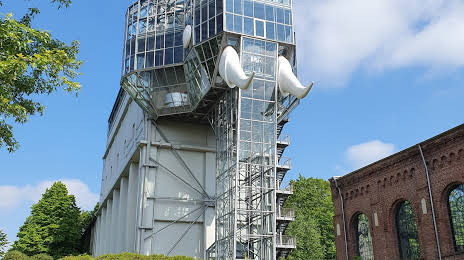
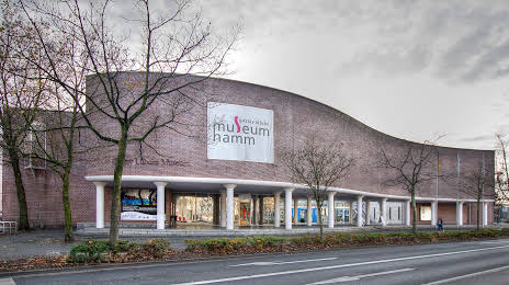
Dickel — Hamm distance, route on the map
Distance by car
Distance between Dickel, Lower Saxony, Germany and Hamm, North Rhine-Westphalia, Germany by car is — km, or miles. To travel this distance by car, you need minute, or h.
Route on the map, driving directions
Car route Dickel — Hamm was created automatically. The road on the map is shown as a blue line. By moving the markers, you can create a new route through the points you need.
Passing cities through which the car route passes: Cornau, Wetschen, Diepholz, Lohne, Steinfeld, Holdorf, Neuenkirchen, Frede, Bramsche, Engter, Wallenhorst, Hollage, Wersen, Lotte, Leeden, Tecklenburg, Ladbergen, Greven, Sprakel, Münster-Kinderhaus, Roxel, Hiltrup, Senden, Ascheberg, Herbern, Werne, Westerheide, Pelkum.
Distance by plane
If you decide to take a trip Dickel Hamm by plane, then you have to fly the distance — 117 km or 73 miles. It is marked on the map with a gray line (between two points in a straight line).
Flight time
Estimated flight time Dickel Hamm by plane at cruising speed 750 km / h will be — 9 min.
Direction of movement
Germany, Dickel — right-hand traffic. Germany, Hamm — right-hand traffic.
Difference in time
Dickel and Hamm are in the same time zone. Between them there is no time difference (UTC +2 Europe/Berlin).
Interesting Facts
Information on alternative ways to get to your destination.
The length of this distance is about 0.3% of the total length of the equator.
The percentage of the population is clearly shown in the graph:
Dickel — 522 (less by 185,767), Hamm — 186,289 residents.
The cost of travel
Calculate the cost of the trip yourself using the fuel consumption calculator, changing the data in the table.