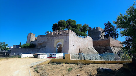
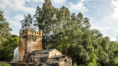
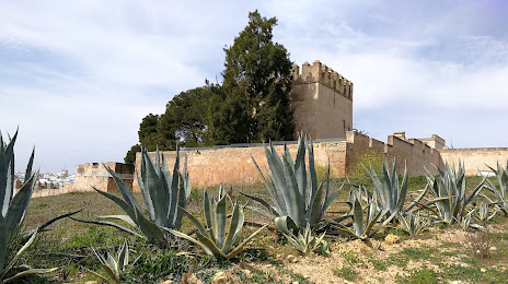
Benatae — Bullas
Benatae — Beleña
Benatae — Toril
Benatae — Villanueva de la Torre
Benatae — Lazagurría
Benatae — La Almadraba de Monteleva
Benatae — Esfarrapada
Benatae — Irian
Benatae — Torrelavega
Benatae — Marçà
Benatae — Sayalonga
Benatae — Pedrosa del Príncipe
Benatae — Santiago del Teide
Benatae — Albero Bajo
Benatae — La Frontera
Benatae — Belvís de Monroy
Benatae — Matadeón de los Oteros
Benatae — Muñoveros
Benatae — La Vecilla
Puente de Génave
Arroyo del Ojanco
Beas de Segura
Sorihuela del Guadalimar
Villanueva del Arzobispo
Iznatoraf
Villacarrillo
Torreperogil
Úbeda
Úbeda
Baeza
Rus
Ibros
Canena
Linares
Bailén
Villanueva de la Reina
Andújar
Marmolejo
Villa del Río
Montoro
Pedro Abad
El Carpio
Villafranca de Córdoba
Córdoba
Córdoba
Cordoba Airport
La Victoria
La Carlota
La Paz
Cerro Perea
Écija
La Luisiana
Fuentes de Andalucía
La Campana
Carmona
El Viso del Alcor
Seville Airport
Benatae — Alcalá de Guadaira distance, route on the map
Distance by car
Distance between Benatae, Andalucía, Spain and Alcalá de Guadaira, Andalucía, Spain by car is — km, or miles. To travel this distance by car, you need minute, or h.
Route on the map, driving directions
Car route Benatae — Alcalá de Guadaira was created automatically. The road on the map is shown as a blue line. By moving the markers, you can create a new route through the points you need.
Passing cities through which the car route passes: La Puerta de Segura, Puente de Génave, Arroyo del Ojanco, Beas de Segura, Sorihuela del Guadalimar, Villanueva del Arzobispo, Iznatoraf, Villacarrillo, Torreperogil, Úbeda, Úbeda, Baeza, Rus, Ibros, Canena, Linares, Bailén, Villanueva de la Reina, Andújar, Marmolejo, Villa del Río, Montoro, Pedro Abad, El Carpio, Villafranca de Córdoba, Córdoba, Córdoba, Cordoba Airport, La Victoria, La Carlota, La Paz, Cerro Perea, Écija, La Luisiana, Fuentes de Andalucía, La Campana, Carmona, El Viso del Alcor, Seville Airport.
Distance by plane
If you decide to take a trip Benatae Alcalá de Guadaira by plane, then you have to fly the distance — 302 km or 187 miles. It is marked on the map with a gray line (between two points in a straight line).
Flight time
Estimated flight time Benatae Alcalá de Guadaira by plane at cruising speed 750 km / h will be — 24 min.
Direction of movement
Spain, Benatae — right-hand traffic. Spain, Alcalá de Guadaira — right-hand traffic.
Difference in time
Benatae and Alcalá de Guadaira are in the same time zone. Between them there is no time difference (UTC +2 Europe/Madrid).
Interesting Facts
Information on alternative ways to get to your destination.
The length of this distance is about 0.8% of the total length of the equator.
The cost of travel
Calculate the cost of the trip yourself using the fuel consumption calculator, changing the data in the table.