 Brunswick
Fair Lawn
Chapel Hill
Boise
Alexandria
Sterling Airport
Manassas
Culpeper
Jacksonville
Bolingbrook
Melrose Park
Lombard
Joliet
Bangor
Elmhurst
Heyworth
Oak Brook
Freer
Folsom
Brunswick
Fair Lawn
Chapel Hill
Boise
Alexandria
Sterling Airport
Manassas
Culpeper
Jacksonville
Bolingbrook
Melrose Park
Lombard
Joliet
Bangor
Elmhurst
Heyworth
Oak Brook
Freer
Folsom
Bridgeport on the map, United States
Where is located Bridgeport
Exact location — Bridgeport, Fairfield County, Connecticut, United States, marked on the map with a red marker.
Coordinates
Bridgeport, United States coordinates in decimal format: latitude — 41.1865478, longitude — -73.1951767. When converted to degrees, minutes, seconds Bridgeport has the following coordinates: 41°11′11.57 north latitude and -73°11′42.64 east longitude.
Population
Bridgeport, Fairfield County, Connecticut, United States, according to our data the population is — 139,090 residents, which is about 0% of the total population of the country (United States).
Comparison of the population on the graph:
Exact time
Time zone for this location Bridgeport — UTC -4 America/New_York. Exact time — saturday, 4 april 2024 year, 02 h. 23 minutes.
Sunrise and sunset
Bridgeport, sunrise and sunset data for a date — saturday 27.04.2024.
| Sunrise | Sunset | Day (duration) |
|---|---|---|
| 05:57 -2 minutes | 19:42 +1 minute | 13 h. 48 minutes. +3 minutes |
You can control the scale of the map using the auxiliary tools to find out exactly where it is located Bridgeport. When you change the scale of the map, the width of the ruler also changes (in kilometers and miles).
Nearby cities
The largest cities that are located nearby:
- New Haven — 26 km
- Stamford — 32 km
- Waterbury — 43 km
- Yonkers — 65 km
- Hartford — 76 km
- New York — 86 km
- Brooklyn — 86 km
- Paterson — 87 km
- Newark — 96 km
- Elizabeth — 103 km
- Springfield — 113 km
- Edison — 126 km
- Amherst — 140 km
- Toms River — 161 km
- Providence — 163 km
- Worcester — 165 km
- Allentown — 203 km
- Cambridge — 215 km
- Philadelphia — 216 km
Distance to neighboring capitals:
- Ottawa
 (Canada) — 513 km
 - Nuuk
 (Greenland) — 2905 km
 - Belmopan
 (Belize) — 3050 km
 - Guatemala City
 (Guatemala) — 3397 km
 - Mexico City
 (Mexico) — 3446 km
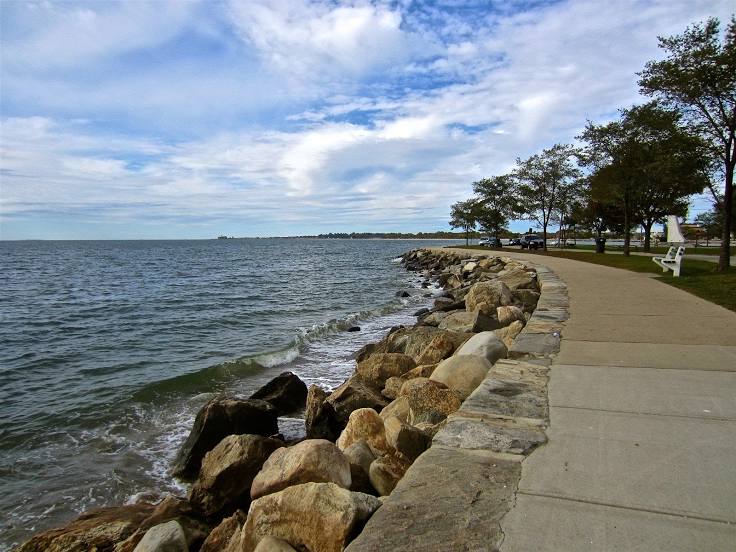
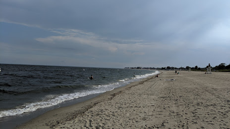
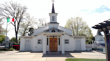
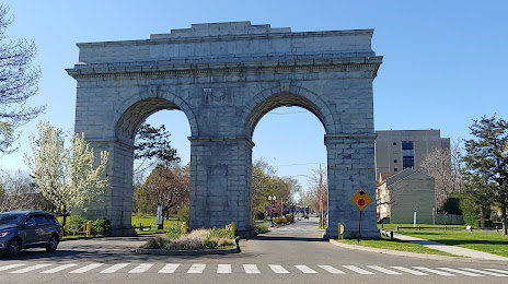
Attractions


Distance to the capital
Distance to the capital (Washington) is about — 414 km.