 Jasper
Middlebury
Overland Park
Grain Valley
Hiawatha
Springfield
Pineville
Winfield Airport
Tacoma
Chesapeake
Leesburg
Piru
Winchester
Catlett
Gordonsville
Arlington
Warrenton
Herndon
Frankfort
Jasper
Middlebury
Overland Park
Grain Valley
Hiawatha
Springfield
Pineville
Winfield Airport
Tacoma
Chesapeake
Leesburg
Piru
Winchester
Catlett
Gordonsville
Arlington
Warrenton
Herndon
Frankfort
Colonial Heights on the map, United States
Where is located Colonial Heights
Exact location — Colonial Heights, Virginia, United States, marked on the map with a red marker.
Coordinates
Colonial Heights, United States coordinates in decimal format: latitude — 37.244039, longitude — -77.4102607. When converted to degrees, minutes, seconds Colonial Heights has the following coordinates: 37°14′38.54 north latitude and -77°24′36.94 east longitude.
Population
Colonial Heights, Virginia, United States, according to our data the population is — 17,626 residents, which is about 0% of the total population of the country (United States).
Comparison of the population on the graph:
Exact time
Time zone for this location Colonial Heights — UTC -4 America/New_York. Exact time — friday, 4 april 2024 year, 06 h. 44 minutes.
Sunrise and sunset
Colonial Heights, sunrise and sunset data for a date — friday 26.04.2024.
| Sunrise | Sunset | Day (duration) |
|---|---|---|
| 06:22 -1 minute | 19:51 -0 minutes | 13 h. 30 minutes. +1 minute |
You can control the scale of the map using the auxiliary tools to find out exactly where it is located Colonial Heights. When you change the scale of the map, the width of the ruler also changes (in kilometers and miles).
Nearby cities
The largest cities that are located nearby:
- Richmond — 33 km
- Hampton — 97 km
- Norfolk — 109 km
- Chesapeake — 113 km
- Virginia Beach — 134 km
- Alexandria — 175 km
- Durham — 192 km
- Raleigh — 196 km
- Cary — 202 km
- Baltimore — 236 km
- Greensboro — 249 km
- Fayetteville — 276 km
- Winston-Salem — 283 km
- Philadelphia — 355 km
- Charlotte — 382 km
- Toms River — 405 km
- Allentown — 405 km
- Pittsburgh — 415 km
- Edison — 441 km
Distance to neighboring capitals:
- Ottawa
 (Canada) — 921 km
 - Belmopan
 (Belize) — 2486 km
 - Guatemala City
 (Guatemala) — 2832 km
 - Mexico City
 (Mexico) — 2892 km
 - Nuuk
 (Greenland) — 3446 km
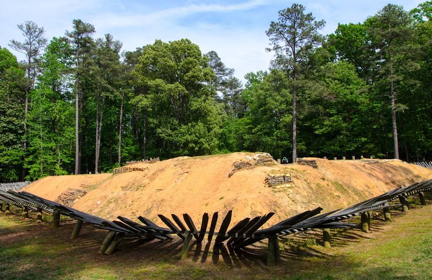
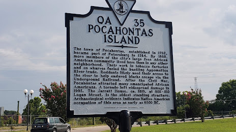
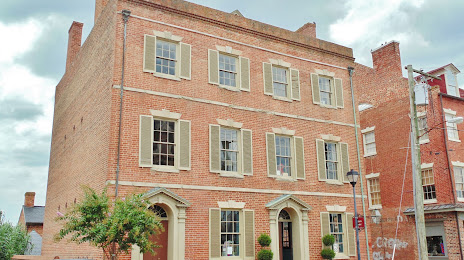
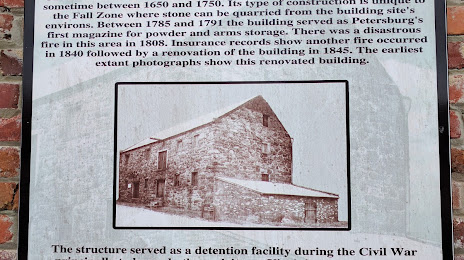
Attractions


Distance to the capital
Distance to the capital (Washington) is about — 188 km.