Tucson — Idaho Springs
Tucson — Raritan
Tucson — Hastings
Tucson — Pettigrew
Tucson — Orlando Melbourne International Airport
Tucson — Croghan
Tucson — New Baltimore
Tucson — Loraine
Tucson — Claremont
Tucson — Wiggins
Tucson — Minturn
Tucson — Corcoran Airport
Tucson — Creswell
Tucson — Eckley
Tucson — Baxley
Tucson — Snellville
Tucson — United States
Tucson — Grandview
Tucson — Gassville
Picacho
Eloy
Arizona City
Casa Grande
Sacaton
Casa Blanca
Tempe
Phoenix Sky Harbor International Airport
Phoenix
Phoenix
Tolleson
Avondale
Goodyear
Buckeye
Quartzsite
Ehrenberg
Blythe
Cactus City
Thermal
Indio
Indian Wells
Thousand Palms
Palm Springs
North Palm Springs
Tucson — Yucca Valley distance, route on the map
Distance by car
Distance between Tucson, Arizona, United States and Yucca Valley, California, United States by car is — km, or miles. To travel this distance by car, you need minute, or h.
Route on the map, driving directions
Car route Tucson — Yucca Valley was created automatically. The road on the map is shown as a blue line. By moving the markers, you can create a new route through the points you need.
Passing cities through which the car route passes: Marana, Picacho, Eloy, Arizona City, Casa Grande, Sacaton, Casa Blanca, Tempe, Phoenix Sky Harbor International Airport, Phoenix, Phoenix, Tolleson, Avondale, Goodyear, Buckeye, Quartzsite, Ehrenberg, Blythe, Cactus City, Thermal, Indio, Indian Wells, Thousand Palms, Palm Springs, North Palm Springs.
Distance by plane
If you decide to take a trip Tucson Yucca Valley by plane, then you have to fly the distance — 554 km or 343 miles. It is marked on the map with a gray line (between two points in a straight line).
Flight time
Estimated flight time Tucson Yucca Valley by plane at cruising speed 750 km / h will be — 44 min.
Direction of movement
United States, Tucson — right-hand traffic. United States, Yucca Valley — right-hand traffic.
Difference in time
Tucson and Yucca Valley are in the same time zone. Between them there is no time difference (UTC -7 America/Phoenix).
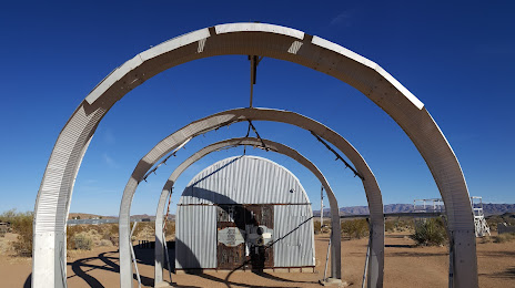
Interesting Facts
Information on alternative ways to get to your destination.
The length of this distance is about 1.4% of the total length of the equator.
The percentage of the population is clearly shown in the graph:
Tucson — 518,907, Yucca Valley — 19,344 residents (less by 499,563).
The cost of travel
Calculate the cost of the trip yourself using the fuel consumption calculator, changing the data in the table.
Calculate the cost of other distances from the starting point — Tucson.