 Suffern
Phoenix
Greenville
Detroit
Toledo
Jasper
Middlebury
Overland Park
Grain Valley
Gordonsville
Arlington
Warrenton
Herndon
Frankfort
Jacksonville
Culpeper
Manassas
Sterling Airport
Alexandria
Suffern
Phoenix
Greenville
Detroit
Toledo
Jasper
Middlebury
Overland Park
Grain Valley
Gordonsville
Arlington
Warrenton
Herndon
Frankfort
Jacksonville
Culpeper
Manassas
Sterling Airport
Alexandria
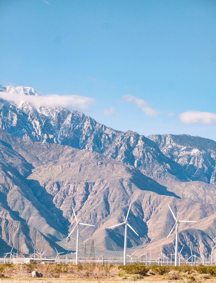
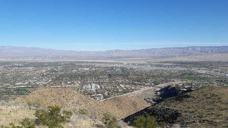
Palm Springs on the map, United States
Where is located Palm Springs
Exact location — Palm Springs, Riverside County, California, United States, marked on the map with a red marker.
Coordinates
Palm Springs, United States coordinates in decimal format: latitude — 33.8302961, longitude — -116.5452921. When converted to degrees, minutes, seconds Palm Springs has the following coordinates: 33°49′49.07 north latitude and -116°32′43.05 east longitude.
Population
Palm Springs, Riverside County, California, United States, according to our data the population is — 46,680 residents, which is about 0% of the total population of the country (United States).
Comparison of the population on the graph:
Exact time
Time zone for this location Palm Springs — UTC -7 America/Los_Angeles. Exact time — saturday, 4 april 2024 year, 04 h. 33 minutes.
Sunrise and sunset
Palm Springs, sunrise and sunset data for a date — saturday 27.04.2024.
| Sunrise | Sunset | Day (duration) |
|---|---|---|
| 06:03 -1 minute | 19:24 +1 minute | 13 h. 24 minutes. +2 minutes |
You can control the scale of the map using the auxiliary tools to find out exactly where it is located Palm Springs. When you change the scale of the map, the width of the ruler also changes (in kilometers and miles).
Nearby cities
The largest cities that are located nearby:
- Moreno Valley — 64 km
- San Bernardino — 75 km
- Riverside — 79 km
- Rialto — 81 km
- Fontana — 86 km
- Escondido — 93 km
- Corona — 94 km
- Rancho Cucamonga — 101 km
- Oceanside — 104 km
- Ontario — 105 km
- Pomona — 113 km
- Irvine — 116 km
- Orange — 120 km
- Santa Ana — 122 km
- Anaheim — 126 km
- Fullerton — 127 km
- Costa Mesa — 128 km
- Garden Grove — 128 km
- West Covina — 130 km
Distance to neighboring capitals:
- Mexico City
 (Mexico) — 2351 km
 - Belmopan
 (Belize) — 3324 km
 - Guatemala City
 (Guatemala) — 3377 km
 - Ottawa
 (Canada) — 3683 km
 - Nuuk
 (Greenland) — 5458 km
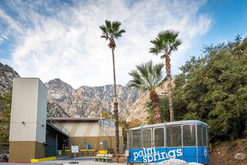
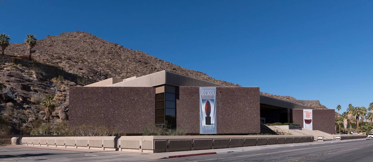
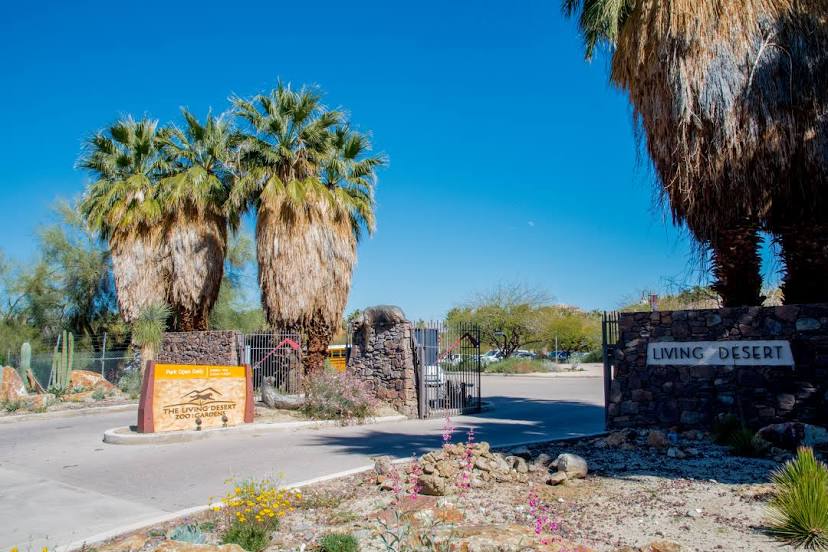
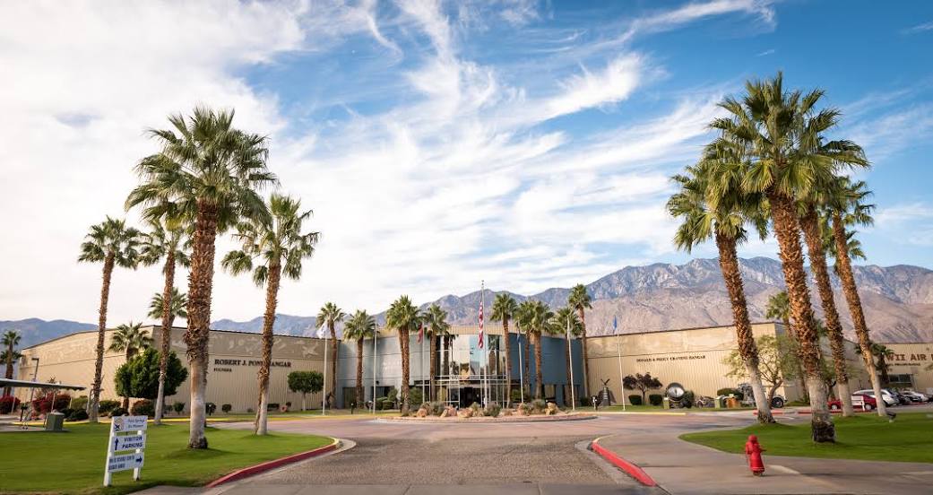
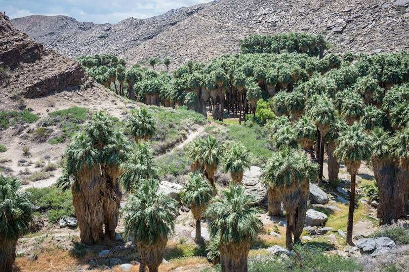
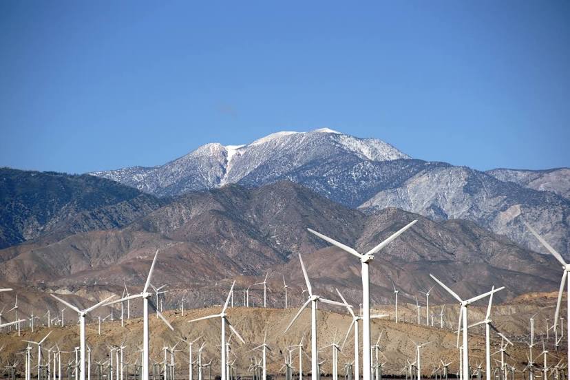
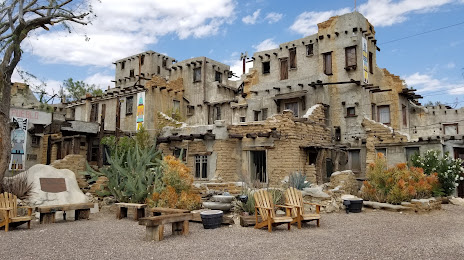
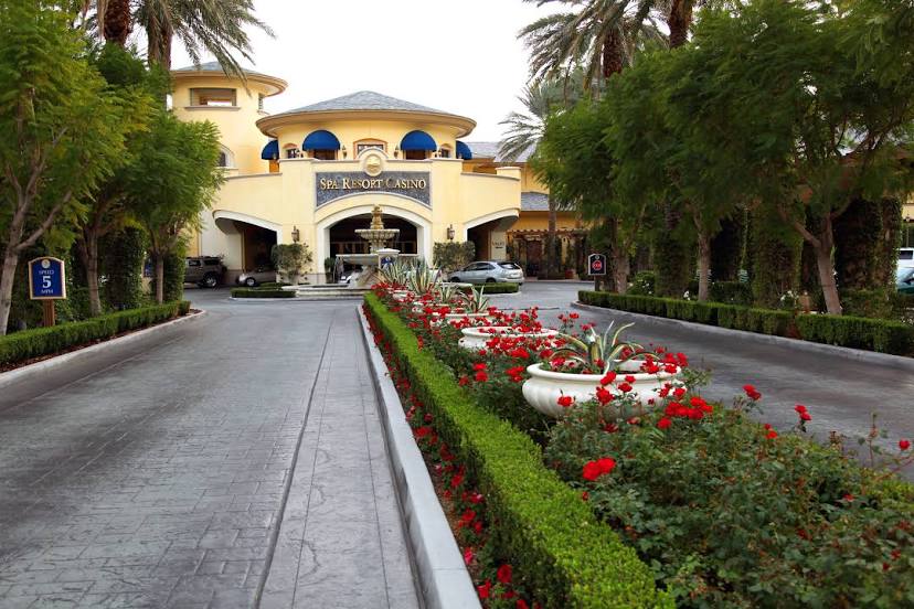
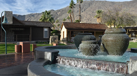
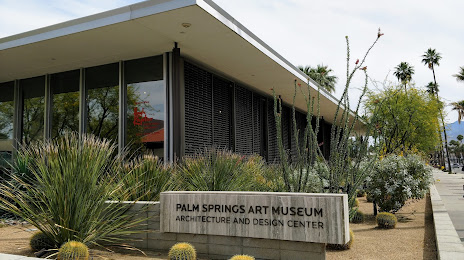
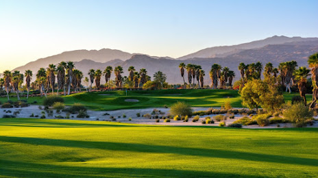
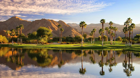
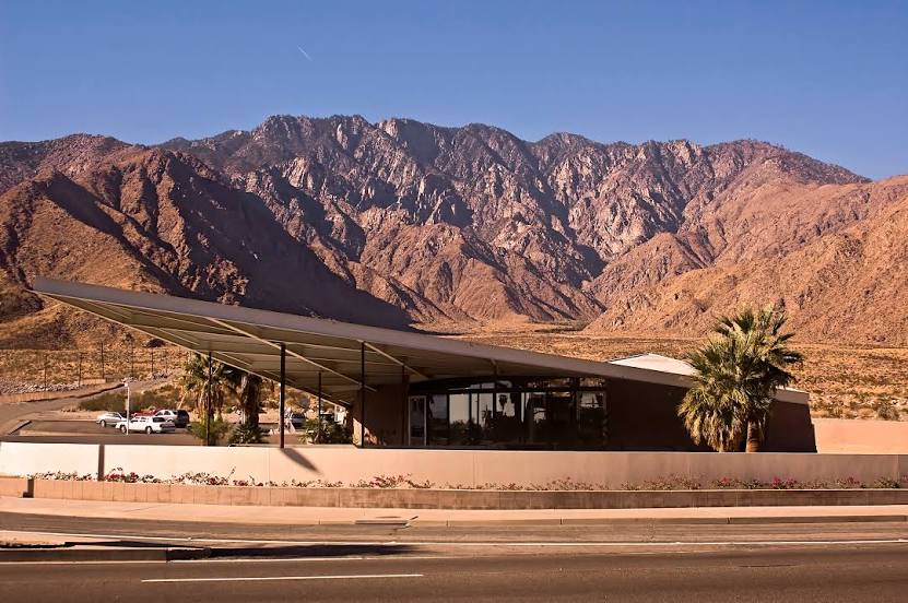
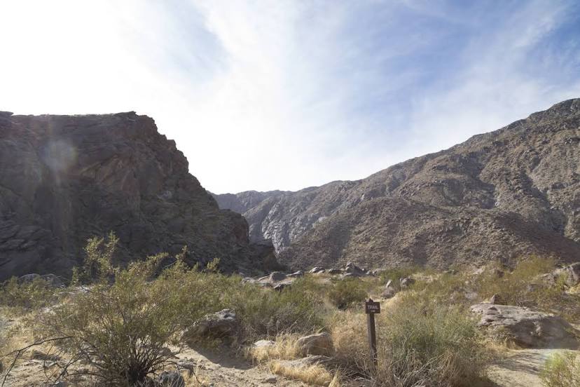
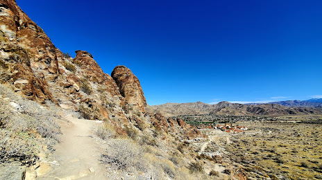
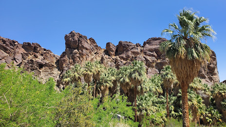
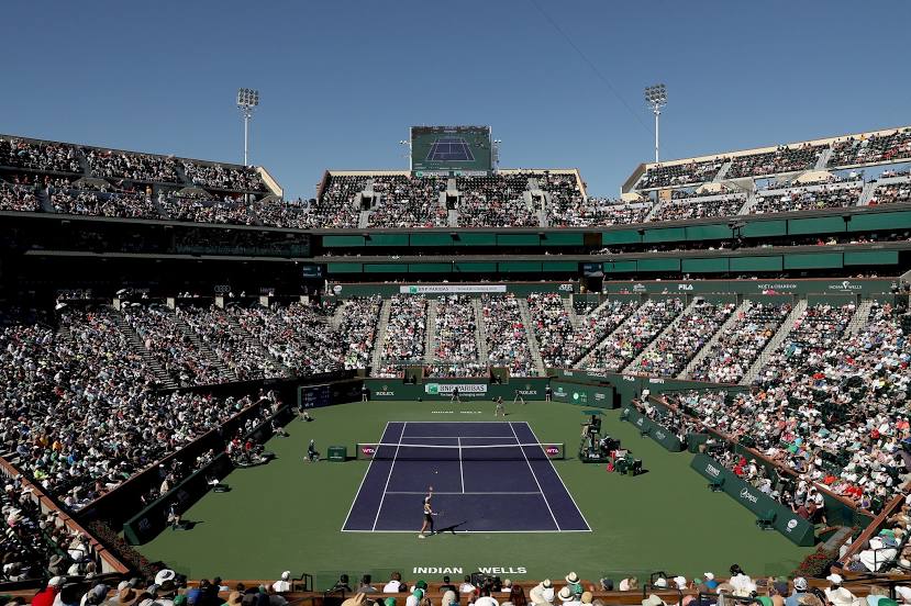
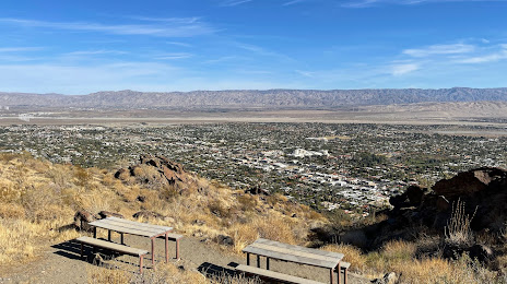
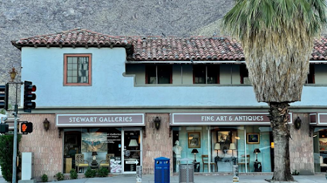
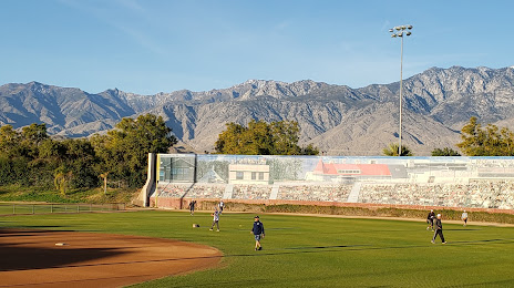
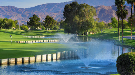
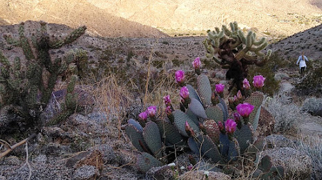
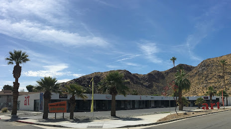
Attractions


Distance to the capital
Distance to the capital (Washington) is about — 3555 km.