Sunnyvale — Poplar Branch
Sunnyvale — Jenkins
Sunnyvale — Ball Ground
Sunnyvale — Otis
Sunnyvale — Mexican Hat
Sunnyvale — Masonville
Sunnyvale — Sanford
Sunnyvale — Sandy Ridge
Sunnyvale — Montcalm
Sunnyvale — Union Dale
Sunnyvale — Dunkirk
Sunnyvale — Gordonville
Sunnyvale — King George
Sunnyvale — Sister Bay
Sunnyvale — Winnetka
Sunnyvale — Muir
Sunnyvale — Moyers
Sunnyvale — Wamego
Sunnyvale — Lakeville
Santa Clara
Terminal A
San Jose
San Jose
Coyote
Morgan Hill
Gilroy
Volta
Avenal
Kettleman City
Lost Hills
Buttonwillow
Wheeler Ridge
Lebec
Gorman
Sandberg
Castaic
Valencia
Valencia
Stevenson Ranch
Santa Clarita
San Fernando
Pacoima
Burbank
Glendale
L A Co Mens Detention Center-main Jail
Vernon
East Los Angeles
Bell Gardens
Downey
Santa Fe Springs
Norwalk
La Mirada
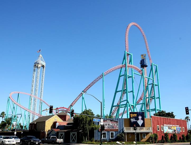
Sunnyvale — Buena Park distance, route on the map
Distance by car
Distance between Sunnyvale, California, United States and Buena Park, California, United States by car is — km, or miles. To travel this distance by car, you need minute, or h.
Route on the map, driving directions
Car route Sunnyvale — Buena Park was created automatically. The road on the map is shown as a blue line. By moving the markers, you can create a new route through the points you need.
Passing cities through which the car route passes: San Jose, Santa Clara, Terminal A, San Jose, San Jose, Coyote, Morgan Hill, Gilroy, Volta, Avenal, Kettleman City, Lost Hills, Buttonwillow, Wheeler Ridge, Lebec, Gorman, Sandberg, Castaic, Valencia, Valencia, Stevenson Ranch, Santa Clarita, San Fernando, Pacoima, Burbank, Glendale, L A Co Mens Detention Center-main Jail, Vernon, East Los Angeles, Bell Gardens, Downey, Santa Fe Springs, Norwalk, La Mirada.
Distance by plane
If you decide to take a trip Sunnyvale Buena Park by plane, then you have to fly the distance — 534 km or 331 miles. It is marked on the map with a gray line (between two points in a straight line).
Flight time
Estimated flight time Sunnyvale Buena Park by plane at cruising speed 750 km / h will be — 42 min.
Direction of movement
United States, Sunnyvale — right-hand traffic. United States, Buena Park — right-hand traffic.
Difference in time
Sunnyvale and Buena Park are in the same time zone. Between them there is no time difference (UTC -7 America/Los_Angeles).
Interesting Facts
Information on alternative ways to get to your destination.
The length of this distance is about 1.3% of the total length of the equator.
The percentage of the population is clearly shown in the graph:
Sunnyvale — 126,499, Buena Park — 79,157 residents (less by 47,342).
The cost of travel
Calculate the cost of the trip yourself using the fuel consumption calculator, changing the data in the table.
Calculate the cost of other distances from the starting point — Sunnyvale.