Grand Prairie — Berwind
Grand Prairie — Parkersburg
Grand Prairie — Battlement Mesa
Grand Prairie — Aubrey
Grand Prairie — Cressey
Grand Prairie — Seiling
Grand Prairie — Francestown
Grand Prairie — South Kingstown
Grand Prairie — Dover
Grand Prairie — West Springfield
Grand Prairie — Mingus
Grand Prairie — Riegelwood
Grand Prairie — Durham
Grand Prairie — Terril
Grand Prairie — Gracey
Grand Prairie — Sandy
Grand Prairie — Brevard County
Grand Prairie — Asco
Grand Prairie — Byromville
Pantego
Forest Hill
Fort Worth
Tarrant County
Haltom City
Blue Mound
Rhome
Wise County
Alvord
Wichita Falls
Iowa Park
Electra
Chillicothe
Quanah
Childress
Hedley
Claude
Rick Husband Amarillo International Airport
Amarillo
Vega
San Jon
Tucumcari
Santa Rosa
Moriarty
Cedar Crest
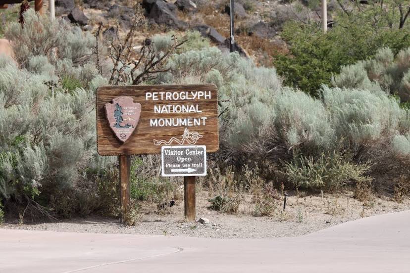
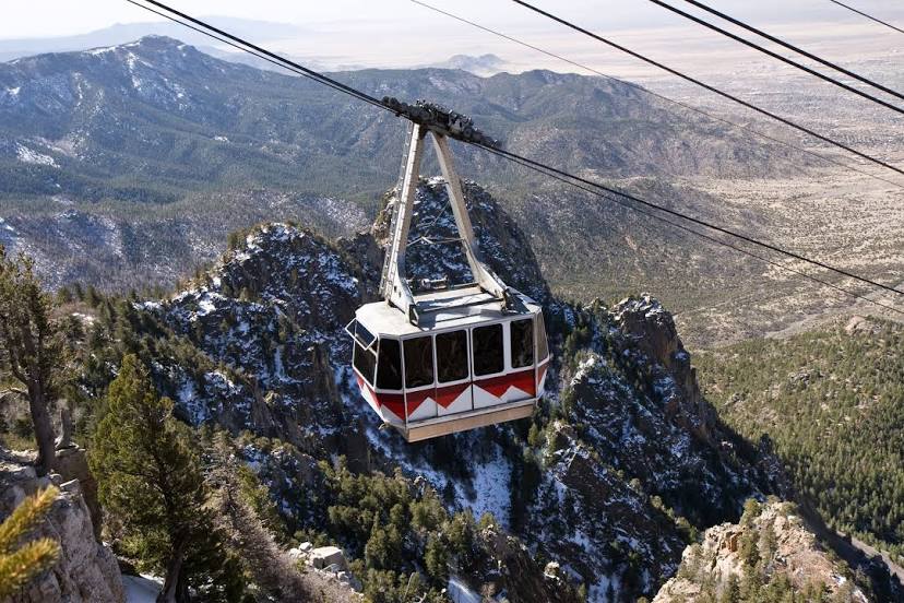
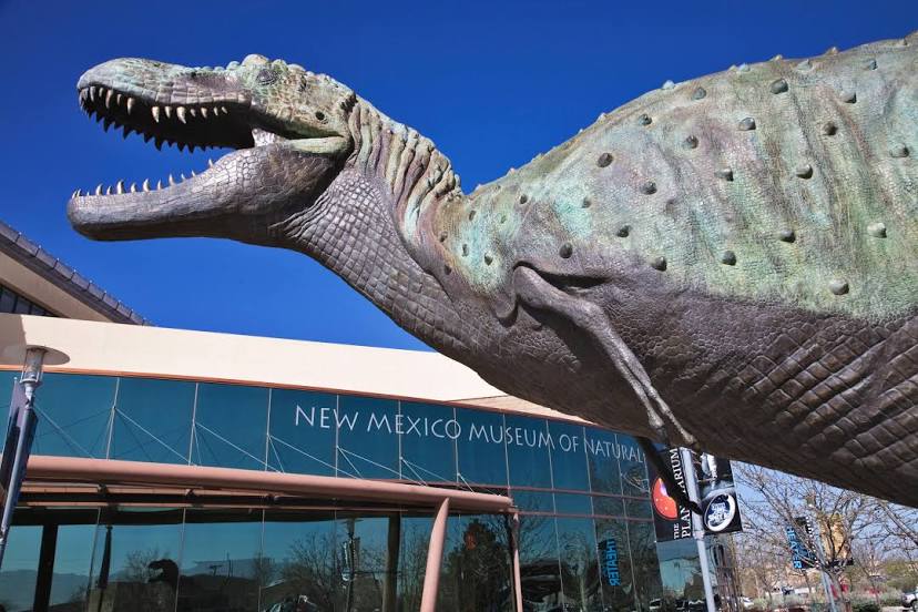
Albuquerque
Grand Prairie — Berwind
Grand Prairie — Parkersburg
Grand Prairie — Battlement Mesa
Grand Prairie — Aubrey
Grand Prairie — Cressey
Grand Prairie — Seiling
Grand Prairie — Francestown
Grand Prairie — South Kingstown
Grand Prairie — Dover
Grand Prairie — West Springfield
Grand Prairie — Mingus
Grand Prairie — Riegelwood
Grand Prairie — Durham
Grand Prairie — Terril
Grand Prairie — Gracey
Grand Prairie — Sandy
Grand Prairie — Brevard County
Grand Prairie — Asco
Grand Prairie — Byromville
Pantego
Forest Hill
Fort Worth
Tarrant County
Haltom City
Blue Mound
Rhome
Wise County
Alvord
Wichita Falls
Iowa Park
Electra
Chillicothe
Quanah
Childress
Hedley
Claude
Rick Husband Amarillo International Airport
Amarillo
Vega
San Jon
Tucumcari
Santa Rosa
Moriarty
Cedar Crest
Albuquerque
Grand Prairie — Albuquerque distance, route on the map
Distance by car
Distance between Grand Prairie, Texas, United States and Albuquerque, New Mexico, United States by car is — km, or miles. To travel this distance by car, you need minute, or h.
Route on the map, driving directions
Car route Grand Prairie — Albuquerque was created automatically. The road on the map is shown as a blue line. By moving the markers, you can create a new route through the points you need.
Passing cities through which the car route passes: Arlington, Pantego, Forest Hill, Fort Worth, Tarrant County, Haltom City, Blue Mound, Rhome, Wise County, Alvord, Wichita Falls, Iowa Park, Electra, Chillicothe, Quanah, Childress, Hedley, Claude, Rick Husband Amarillo International Airport, Amarillo, Vega, San Jon, Tucumcari, Santa Rosa, Moriarty, Cedar Crest, Albuquerque.
Distance by plane
If you decide to take a trip Grand Prairie Albuquerque by plane, then you have to fly the distance — 924 km or 573 miles. It is marked on the map with a gray line (between two points in a straight line).
Flight time
Estimated flight time Grand Prairie Albuquerque by plane at cruising speed 750 km / h will be — 1 h. and 13 min.
Direction of movement
United States, Grand Prairie — right-hand traffic. United States, Albuquerque — right-hand traffic.
Difference in time
Grand Prairie and Albuquerque are in different time zones. The time difference is 1 hour (UTC -5 America/Chicago, UTC -6 America/Denver).
Interesting Facts
Information on alternative ways to get to your destination.
The length of this distance is about 2.3% of the total length of the equator.
The percentage of the population is clearly shown in the graph:
Grand Prairie — 141,122 (less by 346,256), Albuquerque — 487,378 residents.
The cost of travel
Calculate the cost of the trip yourself using the fuel consumption calculator, changing the data in the table.
Calculate the cost of other distances from the starting point — Grand Prairie.