Agoura Hills — East Rutherford
Agoura Hills — Cartago
Agoura Hills — Fremont
Agoura Hills — Bloomsburg
Agoura Hills — Nevada
Agoura Hills — Saint Helena Island
Agoura Hills — Arnoldsburg
Agoura Hills — Thurmond
Agoura Hills — Laurelville
Agoura Hills — Gene Autry
Agoura Hills — Bloomington
Agoura Hills — Luttrell
Agoura Hills — Kirwin
Agoura Hills — Gardners
Agoura Hills — Benge
Agoura Hills — Gulf Shores
Agoura Hills — Spartanburg
Agoura Hills — Tubac
Agoura Hills — Glasford
Hidden Hills
Reseda
Encino
Van Nuys
San Fernando
Santa Clarita
Stevenson Ranch
Valencia
Valencia
Castaic
Sandberg
Gorman
Lebec
Wheeler Ridge
Buttonwillow
Lost Hills
Kettleman City
Avenal
Volta
Gustine
Patterson
Westley
Tracy
Lathrop
Stockton Metropolitan Airport
Stockton
Walnut Grove
Laguna
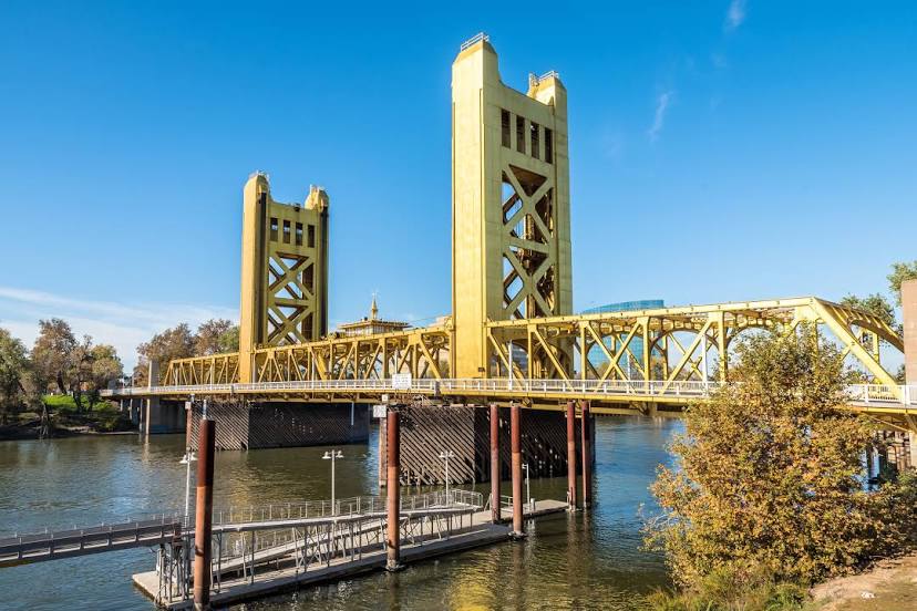
Agoura Hills — West Sacramento distance, route on the map
Distance by car
Distance between Agoura Hills, California, United States and West Sacramento, California, United States by car is — km, or miles. To travel this distance by car, you need minute, or h.
Route on the map, driving directions
Car route Agoura Hills — West Sacramento was created automatically. The road on the map is shown as a blue line. By moving the markers, you can create a new route through the points you need.
Passing cities through which the car route passes: Calabasas, Hidden Hills, Reseda, Encino, Van Nuys, San Fernando, Santa Clarita, Stevenson Ranch, Valencia, Valencia, Castaic, Sandberg, Gorman, Lebec, Wheeler Ridge, Buttonwillow, Lost Hills, Kettleman City, Avenal, Volta, Gustine, Patterson, Westley, Tracy, Lathrop, Stockton Metropolitan Airport, Stockton, Walnut Grove, Laguna.
Distance by plane
If you decide to take a trip Agoura Hills West Sacramento by plane, then you have to fly the distance — 551 km or 342 miles. It is marked on the map with a gray line (between two points in a straight line).
Flight time
Estimated flight time Agoura Hills West Sacramento by plane at cruising speed 750 km / h will be — 44 min.
Direction of movement
United States, Agoura Hills — right-hand traffic. United States, West Sacramento — right-hand traffic.
Difference in time
Agoura Hills and West Sacramento are in the same time zone. Between them there is no time difference (UTC -7 America/Los_Angeles).
Interesting Facts
Information on alternative ways to get to your destination.
The length of this distance is about 1.4% of the total length of the equator.
The percentage of the population is clearly shown in the graph:
Agoura Hills — 22,222 (less by 19,224), West Sacramento — 41,446 residents.
The cost of travel
Calculate the cost of the trip yourself using the fuel consumption calculator, changing the data in the table.