 Monroe
West Monroe
Camden
Farmerville
Secaucus
Burlington
Charles Town
Cherokee
Merkel
Brentwood
College Station
Bakersville
Newburgh
Brewster
New Rochelle
Kingston
Peekskill
White Plains
Rye
Monroe
West Monroe
Camden
Farmerville
Secaucus
Burlington
Charles Town
Cherokee
Merkel
Brentwood
College Station
Bakersville
Newburgh
Brewster
New Rochelle
Kingston
Peekskill
White Plains
Rye
Totowa on the map, United States
Where is located Totowa
Exact location — Totowa, Passaic County, New Jersey, United States, marked on the map with a red marker.
Coordinates
Totowa, United States coordinates in decimal format: latitude — 40.9050988, longitude — -74.2098679. When converted to degrees, minutes, seconds Totowa has the following coordinates: 40°54′18.36 north latitude and -74°12′35.52 east longitude.
Population
Totowa, Passaic County, New Jersey, United States, according to our data the population is — 10,078 residents, which is about 0% of the total population of the country (United States).
Comparison of the population on the graph:
Exact time
Time zone for this location Totowa — UTC -4 America/New_York. Exact time — thursday, 4 april 2024 year, 23 h. 25 minutes.
Sunrise and sunset
Totowa, sunrise and sunset data for a date — thursday 25.04.2024.
| Sunrise | Sunset | Day (duration) |
|---|---|---|
| 06:05 -1 minute | 19:44 +1 minute | 13 h. 42 minutes. +2 minutes |
You can control the scale of the map using the auxiliary tools to find out exactly where it is located Totowa. When you change the scale of the map, the width of the ruler also changes (in kilometers and miles).
Nearby cities
The largest cities that are located nearby:
- Paterson — 3 km
- Newark — 19 km
- Yonkers — 26 km
- Elizabeth — 27 km
- New York — 27 km
- Brooklyn — 30 km
- Edison — 46 km
- Stamford — 58 km
- Bridgeport — 90 km
- Toms River — 105 km
- Allentown — 112 km
- New Haven — 115 km
- Waterbury — 120 km
- Philadelphia — 133 km
- Hartford — 158 km
- Springfield — 188 km
- Amherst — 212 km
- Worcester — 248 km
- Providence — 252 km
Distance to neighboring capitals:
- Ottawa
 (Canada) — 517 km
 - Nuuk
 (Greenland) — 2966 km
 - Belmopan
 (Belize) — 2978 km
 - Guatemala City
 (Guatemala) — 3324 km
 - Mexico City
 (Mexico) — 3360 km
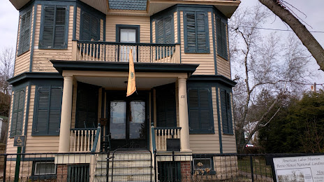
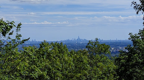
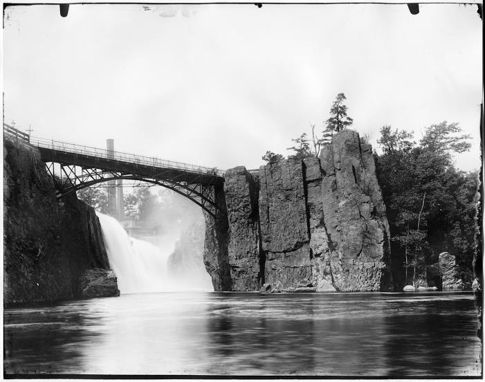
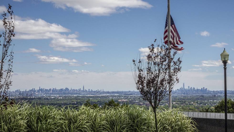
Attractions


Distance to the capital
Distance to the capital (Washington) is about — 328 km.