 Danbury
Caledonia
Midlothian
Glen Allen
Torrance
Frankton
Dickinson
Lafayette
Homestead
New Castle
Midland
League City
Gulfport
Pasadena
Calvert City
Coushatta
Merkel
Cherokee
Charles Town
Danbury
Caledonia
Midlothian
Glen Allen
Torrance
Frankton
Dickinson
Lafayette
Homestead
New Castle
Midland
League City
Gulfport
Pasadena
Calvert City
Coushatta
Merkel
Cherokee
Charles Town
Kokomo on the map, United States
Where is located Kokomo
Exact location — Kokomo, Howard County, Indiana, United States, marked on the map with a red marker.
Coordinates
Kokomo, United States coordinates in decimal format: latitude — 40.486427, longitude — -86.1336033. When converted to degrees, minutes, seconds Kokomo has the following coordinates: 40°29′11.14 north latitude and -86°8′0.97 east longitude.
Population
Kokomo, Howard County, Indiana, United States, according to our data the population is — 46,227 residents, which is about 0% of the total population of the country (United States).
Comparison of the population on the graph:
Exact time
Time zone for this location Kokomo — UTC -4 America/New_York. Exact time — wednesday, 5 may 2024 year, 09 h. 50 minutes.
Sunrise and sunset
Kokomo, sunrise and sunset data for a date — wednesday 8.05.2024.
| Sunrise | Sunset | Day (duration) |
|---|---|---|
| 06:37 -1 minute | 20:44 +1 minute | 14 h. 6 minutes. +2 minutes |
You can control the scale of the map using the auxiliary tools to find out exactly where it is located Kokomo. When you change the scale of the map, the width of the ruler also changes (in kilometers and miles).
Nearby cities
The largest cities that are located nearby:
- Indianapolis — 79 km
- Fort Wayne — 106 km
- South Bend — 132 km
- Chicago — 197 km
- Joliet — 198 km
- Springfield — 207 km
- Cincinnati — 207 km
- Naperville — 217 km
- Aurora — 229 km
- Louisville — 249 km
- Toledo — 250 km
- Columbus — 272 km
- Grand Rapids — 276 km
- Ann Arbor — 279 km
- Lansing — 279 km
- Peoria — 291 km
- Evansville — 305 km
- Rockford — 312 km
- Milwaukee — 316 km
Distance to neighboring capitals:
- Ottawa
 (Canada) — 1010 km
 - Belmopan
 (Belize) — 2597 km
 - Mexico City
 (Mexico) — 2649 km
 - Guatemala City
 (Guatemala) — 2909 km
 - Nuuk
 (Greenland) — 3440 km
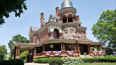
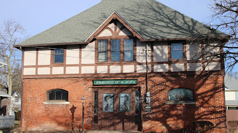
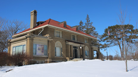
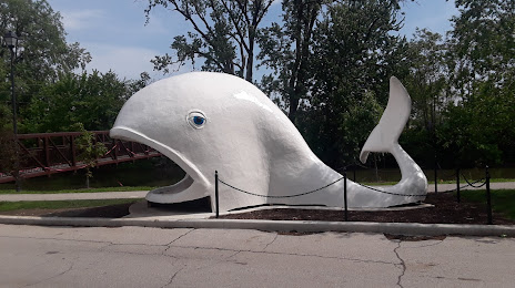
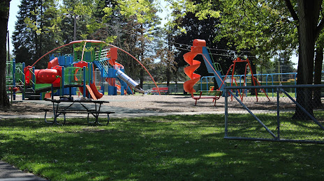
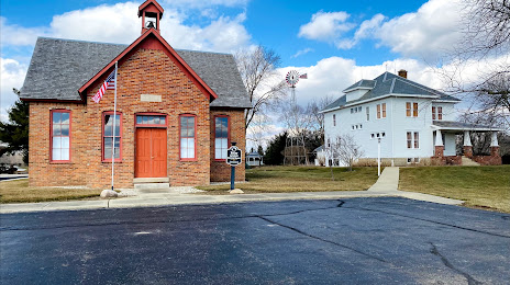
Attractions


Distance to the capital
Distance to the capital (Washington) is about — 798 km.