American Fork — Hastings
American Fork — Reed City
American Fork — Quebeck
American Fork — Walker County
American Fork — Montezuma
American Fork — Sardinia
American Fork — Roswell
American Fork — Westdale
American Fork — Rocklin
American Fork — Sheyenne
American Fork — Saint Charles
American Fork — Jackson
American Fork — Wakita
American Fork — Great Falls
American Fork — Magazine
American Fork — St. George
American Fork — Saint Charles
American Fork — Blacksburg
American Fork — Port Fourchon
Orem
Provo
Springville
Spanish Fork
Mapleton
Price
Moab
Dove Creek
Cortez
Shiprock
Farmington
Cuba
Bernalillo
Corrales
Albuquerque
Albuquerque
Cedar Crest
Moriarty
Encino
Chaves County
Roswell
Carlsbad
Pecos
Fort Stockton
Ozona
Sonora
Kerrville
Comfort
Waring
Boerne
Bexar County
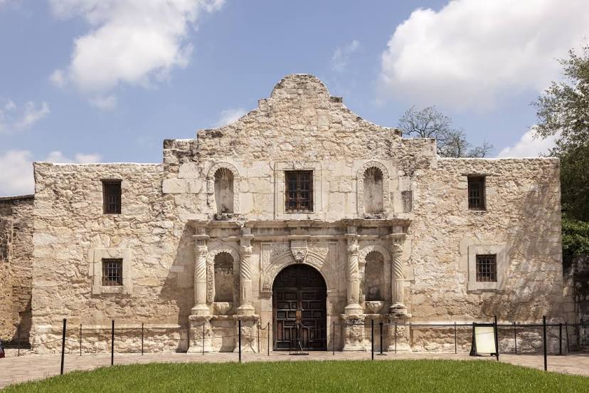
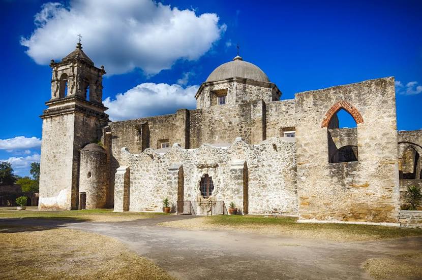
American Fork — San Antonio distance, route on the map
Distance by car
Distance between American Fork, Utah, United States and San Antonio, Texas, United States by car is — km, or miles. To travel this distance by car, you need minute, or h.
Route on the map, driving directions
Car route American Fork — San Antonio was created automatically. The road on the map is shown as a blue line. By moving the markers, you can create a new route through the points you need.
Passing cities through which the car route passes: Lindon, Orem, Provo, Springville, Spanish Fork, Mapleton, Price, Moab, Dove Creek, Cortez, Shiprock, Farmington, Cuba, Bernalillo, Corrales, Albuquerque, Albuquerque, Cedar Crest, Moriarty, Encino, Chaves County, Roswell, Carlsbad, Pecos, Fort Stockton, Ozona, Sonora, Kerrville, Comfort, Waring, Boerne, Bexar County.
Distance by plane
If you decide to take a trip American Fork San Antonio by plane, then you have to fly the distance — 1716 km or 1064 miles. It is marked on the map with a gray line (between two points in a straight line).
Flight time
Estimated flight time American Fork San Antonio by plane at cruising speed 750 km / h will be — 2 h. and 17 min.
Direction of movement
United States, American Fork — right-hand traffic. United States, San Antonio — right-hand traffic.
Difference in time
American Fork and San Antonio are in different time zones. The time difference is 1 hour (UTC -6 America/Denver, UTC -5 America/Chicago).
Interesting Facts
Information on alternative ways to get to your destination.
The length of this distance is about 4.3% of the total length of the equator.
The percentage of the population is clearly shown in the graph:
American Fork — 23,582 (less by 1,233,228), San Antonio — 1,256,810 residents.
The cost of travel
Calculate the cost of the trip yourself using the fuel consumption calculator, changing the data in the table.