 Dana Point
Clarksville
Green Cove Springs
Morristown
Port Saint Joe
Kenosha
North Aurora
Reidsville
Winder
Enumclaw
Warsaw
Kirkland
Smyrna/Rutherford County Airport Authority
Pullman
Kooskia
Lawrenceville
Kennewick
Hermiston
Meridian
Dana Point
Clarksville
Green Cove Springs
Morristown
Port Saint Joe
Kenosha
North Aurora
Reidsville
Winder
Enumclaw
Warsaw
Kirkland
Smyrna/Rutherford County Airport Authority
Pullman
Kooskia
Lawrenceville
Kennewick
Hermiston
Meridian
Mableton on the map, United States
Where is located Mableton
Exact location — Mableton, Cobb County, Georgia, United States, marked on the map with a red marker.
Coordinates
Mableton, United States coordinates in decimal format: latitude — 33.8187167, longitude — -84.5824329. When converted to degrees, minutes, seconds Mableton has the following coordinates: 33°49′7.38 north latitude and -84°34′56.76 east longitude.
Population
Mableton, Cobb County, Georgia, United States, according to our data the population is — 31,476 residents, which is about 0% of the total population of the country (United States).
Comparison of the population on the graph:
Exact time
Time zone for this location Mableton — UTC -4 America/New_York. Exact time — friday, 4 april 2024 year, 10 h. 14 minutes.
Sunrise and sunset
Mableton, sunrise and sunset data for a date — friday 26.04.2024.
| Sunrise | Sunset | Day (duration) |
|---|---|---|
| 06:56 -1 minute | 20:15 +1 minute | 13 h. 18 minutes. +2 minutes |
You can control the scale of the map using the auxiliary tools to find out exactly where it is located Mableton. When you change the scale of the map, the width of the ruler also changes (in kilometers and miles).
Nearby cities
The largest cities that are located nearby:
- Atlanta — 19 km
- Chattanooga — 151 km
- Birmingham — 207 km
- Huntsville — 208 km
- Montgomery — 227 km
- Knoxville — 244 km
- Nashville — 325 km
- Columbia — 326 km
- Charlotte — 372 km
- Tallahassee — 375 km
- Savannah — 378 km
- Clarksville — 388 km
- Charleston — 447 km
- Winston-Salem — 462 km
- Jacksonville — 476 km
- Mobile — 477 km
- Greensboro — 495 km
- Louisville — 501 km
- Gainesville — 509 km
Distance to neighboring capitals:
- Ottawa
 (Canada) — 1496 km
 - Belmopan
 (Belize) — 1889 km
 - Mexico City
 (Mexico) — 2152 km
 - Guatemala City
 (Guatemala) — 2219 km
 - Nuuk
 (Greenland) — 4047 km
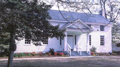
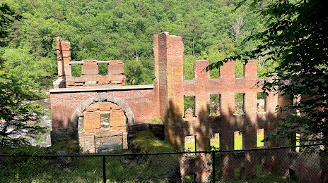
Attractions


Distance to the capital
Distance to the capital (Washington) is about — 881 km.