 Albany
Newport News
Poughkeepsie
Lake Geneva
Glastonbury
Falmouth
Newman's Airport-4n0
Eunice
Hoffman Estates
Chehalis
Hoquiam
Bothell
Pewaukee
Midland
Arlington
Mountlake Terrace
Afton
Wagoner
Mabton
Albany
Newport News
Poughkeepsie
Lake Geneva
Glastonbury
Falmouth
Newman's Airport-4n0
Eunice
Hoffman Estates
Chehalis
Hoquiam
Bothell
Pewaukee
Midland
Arlington
Mountlake Terrace
Afton
Wagoner
Mabton
Apopka on the map, United States
Where is located Apopka
Exact location — Apopka, Orange County, Florida, United States, marked on the map with a red marker.
Coordinates
Apopka, United States coordinates in decimal format: latitude — 28.6934076, longitude — -81.5322149. When converted to degrees, minutes, seconds Apopka has the following coordinates: 28°41′36.27 north latitude and -81°31′55.97 east longitude.
Population
Apopka, Orange County, Florida, United States, according to our data the population is — 33,216 residents, which is about 0% of the total population of the country (United States).
Comparison of the population on the graph:
Exact time
Time zone for this location Apopka — UTC -4 America/New_York. Exact time — friday, 4 april 2024 year, 15 h. 15 minutes.
Sunrise and sunset
Apopka, sunrise and sunset data for a date — friday 26.04.2024.
| Sunrise | Sunset | Day (duration) |
|---|---|---|
| 06:51 -1 minute | 19:56 +1 minute | 13 h. 6 minutes. +2 minutes |
You can control the scale of the map using the auxiliary tools to find out exactly where it is located Apopka. When you change the scale of the map, the width of the ruler also changes (in kilometers and miles).
Nearby cities
The largest cities that are located nearby:
- Orlando — 23 km
- Brandon — 111 km
- Tampa — 122 km
- Gainesville — 130 km
- Clearwater — 148 km
- Saint Petersburg — 149 km
- Jacksonville — 182 km
- Port Saint Lucie — 195 km
- Cape Coral — 239 km
- Coral Springs — 296 km
- Fort Lauderdale — 316 km
- Pembroke Pines — 321 km
- Miramar — 323 km
- Tallahassee — 325 km
- Hollywood — 327 km
- Hialeah — 337 km
- Miami — 351 km
- Savannah — 377 km
- Charleston — 475 km
Distance to neighboring capitals:
- Belmopan
 (Belize) — 1472 km
 - Guatemala City
 (Guatemala) — 1820 km
 - Ottawa
 (Canada) — 1930 km
 - Mexico City
 (Mexico) — 2059 km
 - Nuuk
 (Greenland) — 4471 km
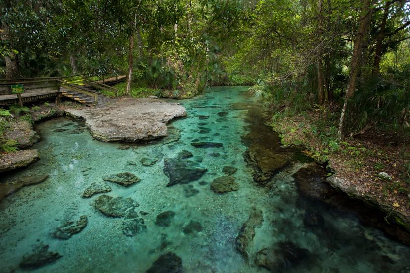
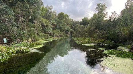
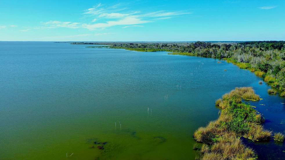
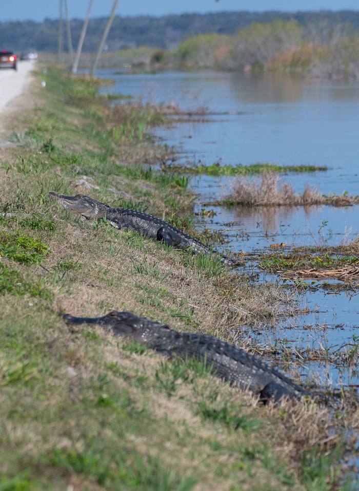
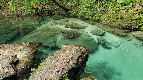
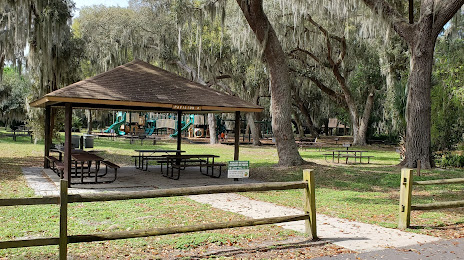
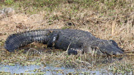
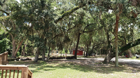
Attractions


Distance to the capital
Distance to the capital (Washington) is about — 1209 km.