Watsonville — Macungie
Watsonville — Surenavan
Watsonville — Clive
Watsonville — Rye
Watsonville — Strathmore
Watsonville — Healy
Watsonville — North Egremont
Watsonville — Fultonville
Watsonville — Inavale
Watsonville — Kincaid
Watsonville — Petrolia
Watsonville — Joppa
Watsonville — Sterling Airport
Watsonville — Enola
Watsonville — Quogue
Watsonville — Poseyville
Watsonville — Pendergrass
Watsonville — Lisle
Watsonville — Wellsville
San Juan Bautista
Gilroy
Volta
Avenal
Kettleman City
Lost Hills
Buttonwillow
Wheeler Ridge
Lebec
Gorman
Sandberg
Castaic
Valencia
Valencia
Stevenson Ranch
Santa Clarita
San Fernando
Van Nuys
Encino
Beverly Hills
Culver City
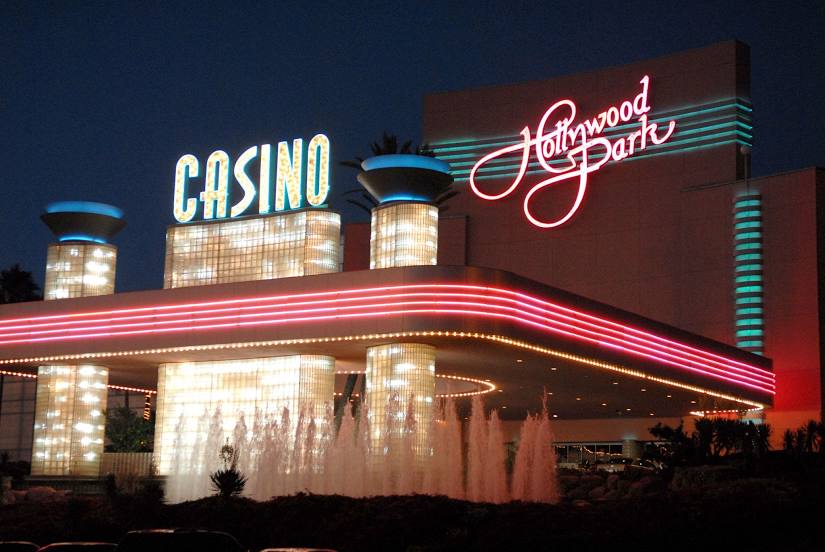
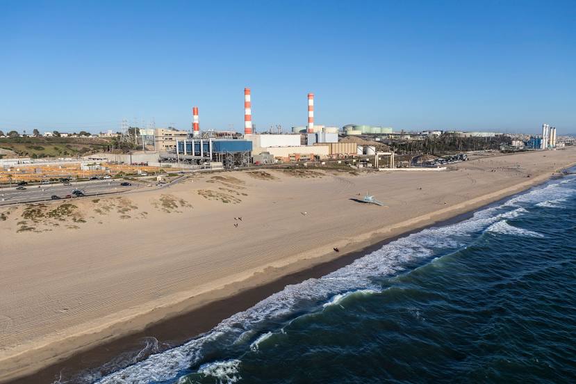
Los Angeles
Watsonville — Macungie
Watsonville — Surenavan
Watsonville — Clive
Watsonville — Rye
Watsonville — Strathmore
Watsonville — Healy
Watsonville — North Egremont
Watsonville — Fultonville
Watsonville — Inavale
Watsonville — Kincaid
Watsonville — Petrolia
Watsonville — Joppa
Watsonville — Sterling Airport
Watsonville — Enola
Watsonville — Quogue
Watsonville — Poseyville
Watsonville — Pendergrass
Watsonville — Lisle
Watsonville — Wellsville
San Juan Bautista
Gilroy
Volta
Avenal
Kettleman City
Lost Hills
Buttonwillow
Wheeler Ridge
Lebec
Gorman
Sandberg
Castaic
Valencia
Valencia
Stevenson Ranch
Santa Clarita
San Fernando
Van Nuys
Encino
Beverly Hills
Culver City
Los Angeles
Watsonville — Inglewood distance, route on the map
Distance by car
Distance between Watsonville, California, United States and Inglewood, California, United States by car is — km, or miles. To travel this distance by car, you need minute, or h.
Route on the map, driving directions
Car route Watsonville — Inglewood was created automatically. The road on the map is shown as a blue line. By moving the markers, you can create a new route through the points you need.
Passing cities through which the car route passes: Interlaken, San Juan Bautista, Gilroy, Volta, Avenal, Kettleman City, Lost Hills, Buttonwillow, Wheeler Ridge, Lebec, Gorman, Sandberg, Castaic, Valencia, Valencia, Stevenson Ranch, Santa Clarita, San Fernando, Van Nuys, Encino, Beverly Hills, Culver City, Los Angeles.
Distance by plane
If you decide to take a trip Watsonville Inglewood by plane, then you have to fly the distance — 450 km or 279 miles. It is marked on the map with a gray line (between two points in a straight line).
Flight time
Estimated flight time Watsonville Inglewood by plane at cruising speed 750 km / h will be — 36 min.
Direction of movement
United States, Watsonville — right-hand traffic. United States, Inglewood — right-hand traffic.
Difference in time
Watsonville and Inglewood are in the same time zone. Between them there is no time difference (UTC -7 America/Los_Angeles).
Interesting Facts
Information on alternative ways to get to your destination.
The length of this distance is about 1.1% of the total length of the equator.
The percentage of the population is clearly shown in the graph:
Watsonville — 45,724 (less by 70,434), Inglewood — 116,158 residents.
The cost of travel
Calculate the cost of the trip yourself using the fuel consumption calculator, changing the data in the table.