 Simsbury
Yucca Valley
Indio
Buford
Elk City
Zapata
Malakoff
Winnsboro
Bloomsburg
Hannibal
Wright City
Carol Stream
Brownwood
Edmond
Ada Airport
Tipton Airport
Ratliff City
Healdton
Coffeyville
Simsbury
Yucca Valley
Indio
Buford
Elk City
Zapata
Malakoff
Winnsboro
Bloomsburg
Hannibal
Wright City
Carol Stream
Brownwood
Edmond
Ada Airport
Tipton Airport
Ratliff City
Healdton
Coffeyville
Longmont on the map, United States
Where is located Longmont
Exact location — Longmont, Boulder County, Colorado, United States, marked on the map with a red marker.
Coordinates
Longmont, United States coordinates in decimal format: latitude — 40.1672068, longitude — -105.1019275. When converted to degrees, minutes, seconds Longmont has the following coordinates: 40°10′1.94 north latitude and -105°6′6.94 east longitude.
Population
Longmont, Boulder County, Colorado, United States, according to our data the population is — 83,291 residents, which is about 0% of the total population of the country (United States).
Comparison of the population on the graph:
Exact time
Time zone for this location Longmont — UTC -6 America/Denver. Exact time — friday, 4 april 2024 year, 21 h. 07 minutes.
Sunrise and sunset
Longmont, sunrise and sunset data for a date — friday 26.04.2024.
| Sunrise | Sunset | Day (duration) |
|---|---|---|
| 06:08 -1 minute | 19:47 +1 minute | 13 h. 42 minutes. +2 minutes |
You can control the scale of the map using the auxiliary tools to find out exactly where it is located Longmont. When you change the scale of the map, the width of the ruler also changes (in kilometers and miles).
Nearby cities
The largest cities that are located nearby:
- Thornton — 35 km
- Westminster — 37 km
- Arvada — 40 km
- Fort Collins — 46 km
- Denver — 48 km
- Lakewood — 51 km
- Aurora — 54 km
- Colorado Springs — 149 km
- Pueblo — 216 km
- Provo — 553 km
- Salt Lake City — 572 km
- West Jordan — 576 km
- Albuquerque — 578 km
- West Valley City — 581 km
- Valencia — 611 km
- Amarillo — 621 km
- Lincoln — 708 km
- Wichita — 733 km
- Omaha — 766 km
Distance to neighboring capitals:
- Mexico City
 (Mexico) — 2376 km
 - Ottawa
 (Canada) — 2455 km
 - Belmopan
 (Belize) — 2994 km
 - Guatemala City
 (Guatemala) — 3175 km
 - Nuuk
 (Greenland) — 4316 km
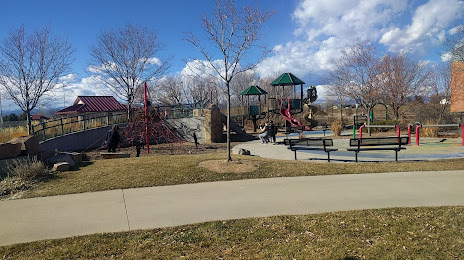
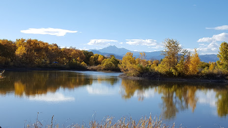
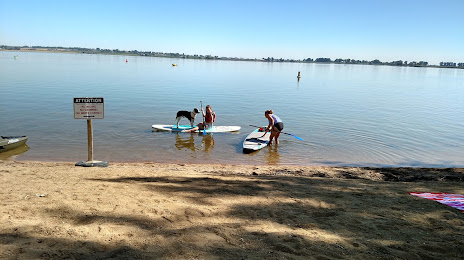
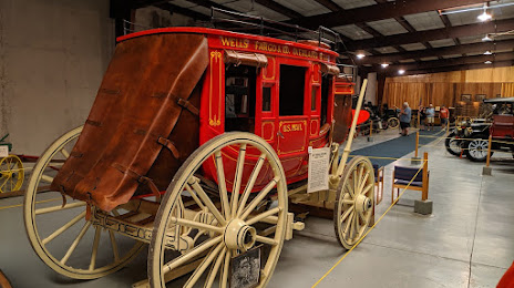
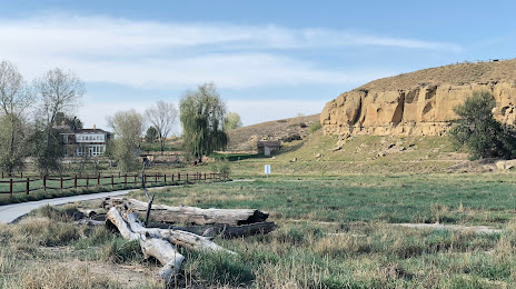
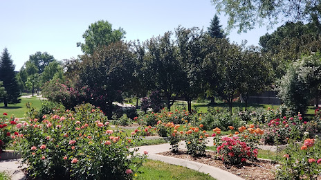
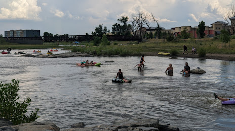
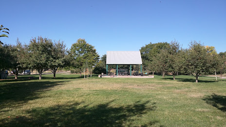
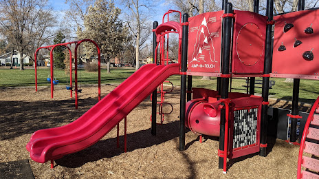
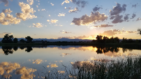
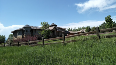
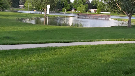
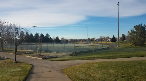
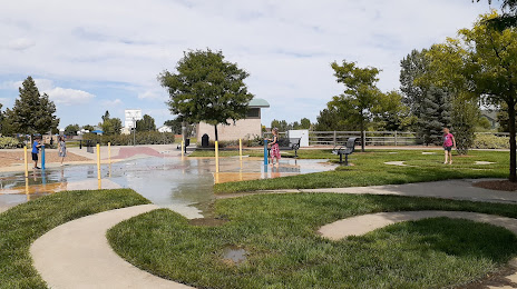
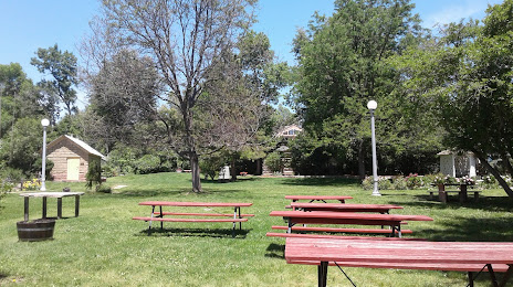
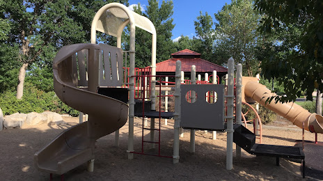
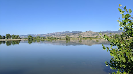
Attractions


Distance to the capital
Distance to the capital (Washington) is about — 2401 km.