 Buford
Elk City
Zapata
Malakoff
Winnsboro
Bloomsburg
DeSoto
Moneta
Wilbraham
Saint Peters
Breese
Alton
Hannibal
Wright City
Carol Stream
Brownwood
Edmond
Ada Airport
Tipton Airport
Buford
Elk City
Zapata
Malakoff
Winnsboro
Bloomsburg
DeSoto
Moneta
Wilbraham
Saint Peters
Breese
Alton
Hannibal
Wright City
Carol Stream
Brownwood
Edmond
Ada Airport
Tipton Airport
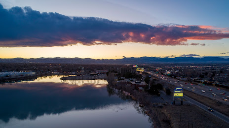
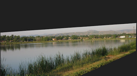
Wheat Ridge on the map, United States
Where is located Wheat Ridge
Exact location — Wheat Ridge, Jefferson County, Colorado, United States, marked on the map with a red marker.
Coordinates
Wheat Ridge, United States coordinates in decimal format: latitude — 39.766098, longitude — -105.0772063. When converted to degrees, minutes, seconds Wheat Ridge has the following coordinates: 39°45′57.95 north latitude and -105°4′37.94 east longitude.
Population
Wheat Ridge, Jefferson County, Colorado, United States, according to our data the population is — 30,978 residents, which is about 0% of the total population of the country (United States).
Comparison of the population on the graph:
Exact time
Time zone for this location Wheat Ridge — UTC -6 America/Denver. Exact time — thursday, 4 april 2024 year, 18 h. 08 minutes.
Sunrise and sunset
Wheat Ridge, sunrise and sunset data for a date — thursday 25.04.2024.
| Sunrise | Sunset | Day (duration) |
|---|---|---|
| 06:10 -1 minute | 19:45 +1 minute | 13 h. 36 minutes. +2 minutes |
You can control the scale of the map using the auxiliary tools to find out exactly where it is located Wheat Ridge. When you change the scale of the map, the width of the ruler also changes (in kilometers and miles).
Nearby cities
The largest cities that are located nearby:
- Arvada — 4 km
- Lakewood — 7 km
- Denver — 8 km
- Westminster — 9 km
- Thornton — 14 km
- Aurora — 21 km
- Fort Collins — 91 km
- Colorado Springs — 105 km
- Pueblo — 172 km
- Albuquerque — 536 km
- Provo — 558 km
- Valencia — 569 km
- Salt Lake City — 581 km
- Amarillo — 582 km
- West Jordan — 583 km
- West Valley City — 589 km
- Lincoln — 712 km
- Wichita — 715 km
- Lubbock — 746 km
Distance to neighboring capitals:
- Mexico City
 (Mexico) — 2332 km
 - Ottawa
 (Canada) — 2471 km
 - Belmopan
 (Belize) — 2957 km
 - Guatemala City
 (Guatemala) — 3136 km
 - Nuuk
 (Greenland) — 4352 km
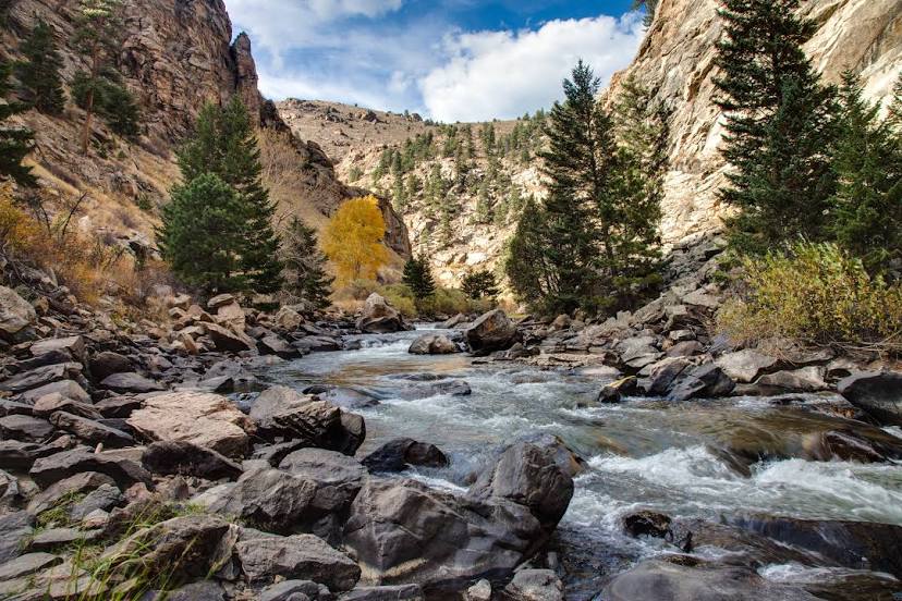
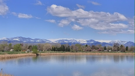
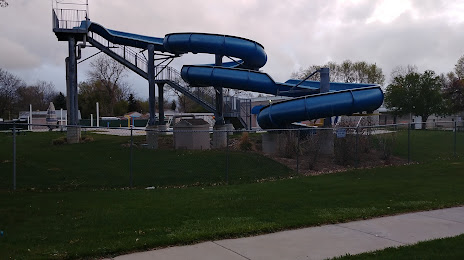
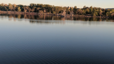
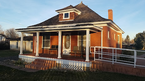
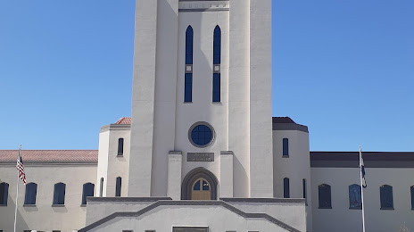
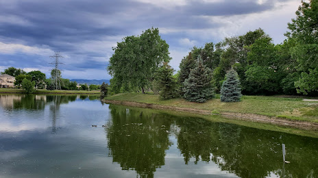
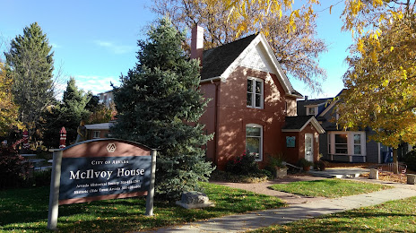
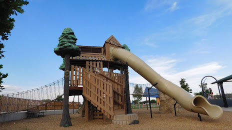
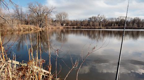
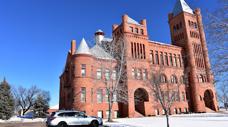
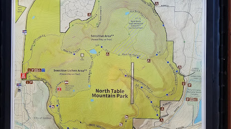
Attractions


Distance to the capital
Distance to the capital (Washington) is about — 2404 km.