Loxley — Evarts
Loxley — Comanche
Loxley — Fairhope
Loxley — South Sioux City
Loxley — Elsah
Loxley — Calhoun County
Loxley — Dennis
Loxley — Oxford Junction
Loxley — Twin Lakes
Loxley — Kimberly
Loxley — Nazareth
Loxley — Freeland
Loxley — Shakopee
Loxley — Gardnerville
Loxley — Dissen
Loxley — Jacksons' Gap
Loxley — Holyrood
Loxley — Bowlus
Loxley — Goshen
Brent
Milton
Crestview
Mossy Head
DeFuniak Springs
Ponce de Leon
Bonifay
Chipley
Alford
Cottondale
Marianna
Sneads
Tallahassee
Leon County
Wellborn
White Springs
Lake City
High Springs
Alachua
Arredondo
Micanopy
Ocala
Wildwood
Okahumpka
Lake County
Minneola
Clermont
Clermont
Loughman
Haines City
Lake Hamilton
Loxley — Evarts
Loxley — Comanche
Loxley — Fairhope
Loxley — South Sioux City
Loxley — Elsah
Loxley — Calhoun County
Loxley — Dennis
Loxley — Oxford Junction
Loxley — Twin Lakes
Loxley — Kimberly
Loxley — Nazareth
Loxley — Freeland
Loxley — Shakopee
Loxley — Gardnerville
Loxley — Dissen
Loxley — Jacksons' Gap
Loxley — Holyrood
Loxley — Bowlus
Loxley — Goshen
Brent
Milton
Crestview
Mossy Head
DeFuniak Springs
Ponce de Leon
Bonifay
Chipley
Alford
Cottondale
Marianna
Sneads
Tallahassee
Leon County
Wellborn
White Springs
Lake City
High Springs
Alachua
Arredondo
Micanopy
Ocala
Wildwood
Okahumpka
Lake County
Minneola
Clermont
Clermont
Loughman
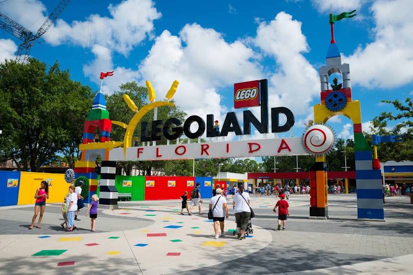
Haines City
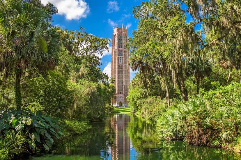
Lake Hamilton
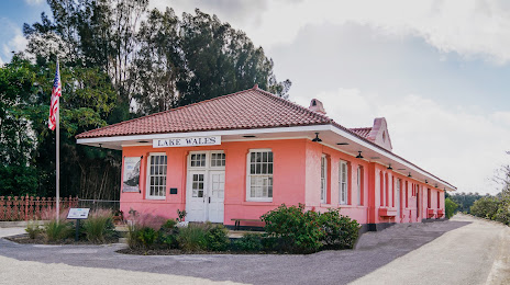
Loxley — Lake Wales distance, route on the map
Distance by car
Distance between Loxley, Alabama, United States and Lake Wales, Florida, United States by car is — km, or miles. To travel this distance by car, you need minute, or h.
Route on the map, driving directions
Car route Loxley — Lake Wales was created automatically. The road on the map is shown as a blue line. By moving the markers, you can create a new route through the points you need.
Passing cities through which the car route passes: Gonzalez, Brent, Milton, Crestview, Mossy Head, DeFuniak Springs, Ponce de Leon, Bonifay, Chipley, Alford, Cottondale, Marianna, Sneads, Tallahassee, Leon County, Wellborn, White Springs, Lake City, High Springs, Alachua, Arredondo, Micanopy, Ocala, Wildwood, Okahumpka, Lake County, Minneola, Clermont, Clermont, Loughman, Haines City, Lake Hamilton.
Distance by plane
If you decide to take a trip Loxley Lake Wales by plane, then you have to fly the distance — 670 km or 415 miles. It is marked on the map with a gray line (between two points in a straight line).
Flight time
Estimated flight time Loxley Lake Wales by plane at cruising speed 750 km / h will be — 53 min.
Direction of movement
United States, Loxley — right-hand traffic. United States, Lake Wales — right-hand traffic.
Difference in time
Loxley and Lake Wales are in different time zones. The time difference is 1 hour (UTC -5 America/Chicago, UTC -4 America/New_York).
Interesting Facts
Information on alternative ways to get to your destination.
The length of this distance is about 1.7% of the total length of the equator.
The percentage of the population is clearly shown in the graph:
Loxley — 1,446 (less by 10,961), Lake Wales — 12,407 residents.
The cost of travel
Calculate the cost of the trip yourself using the fuel consumption calculator, changing the data in the table.