 Price
Vacaville
Draper
Albia
Iowa Falls
Boone
Lakota
Grundy Center
Lomita
Cambridge
Forest County
Sebastian
Lititz
Reynoldsville
American Canyon
Leola
Elizabethtown
Richmond
Red Lion
Price
Vacaville
Draper
Albia
Iowa Falls
Boone
Lakota
Grundy Center
Lomita
Cambridge
Forest County
Sebastian
Lititz
Reynoldsville
American Canyon
Leola
Elizabethtown
Richmond
Red Lion
Ithaca on the map, United States
Where is located Ithaca
Exact location — Ithaca, Tompkins County, New York, United States, marked on the map with a red marker.
Coordinates
Ithaca, United States coordinates in decimal format: latitude — 42.4439614, longitude — -76.5018807. When converted to degrees, minutes, seconds Ithaca has the following coordinates: 42°26′38.26 north latitude and -76°30′6.77 east longitude.
Population
Ithaca, Tompkins County, New York, United States, according to our data the population is — 31,159 residents, which is about 0% of the total population of the country (United States).
Comparison of the population on the graph:
Exact time
Time zone for this location Ithaca — UTC -4 America/New_York. Exact time — friday, 4 april 2024 year, 05 h. 58 minutes.
Sunrise and sunset
Ithaca, sunrise and sunset data for a date — friday 26.04.2024.
| Sunrise | Sunset | Day (duration) |
|---|---|---|
| 06:10 -1 minute | 19:57 +1 minute | 13 h. 48 minutes. +2 minutes |
You can control the scale of the map using the auxiliary tools to find out exactly where it is located Ithaca. When you change the scale of the map, the width of the ruler also changes (in kilometers and miles).
Nearby cities
The largest cities that are located nearby:
- Syracuse — 73 km
- Rochester — 120 km
- Boston — 183 km
- Amherst — 194 km
- Kingston
 (Canada) — 198 km
 - Buffalo — 199 km
- Allentown — 220 km
- Saint Catharines (Canada) — 235 km
- Oshawa (Canada) — 248 km
- Whitby (Canada) — 252 km
- Paterson — 258 km
- Toronto (Canada) — 266 km
- Newark — 272 km
- Yonkers — 274 km
- Markham (Canada) — 275 km
- Elizabeth — 275 km
- Edison — 276 km
- Oakville (Canada) — 280 km
- Mississauga (Canada) — 282 km
Distance to neighboring capitals:
- Ottawa (Canada) — 337 km
- Nuuk
 (Greenland) — 2883 km
 - Belmopan
 (Belize) — 3034 km
 - Mexico City
 (Mexico) — 3326 km
 - Guatemala City
 (Guatemala) — 3375 km
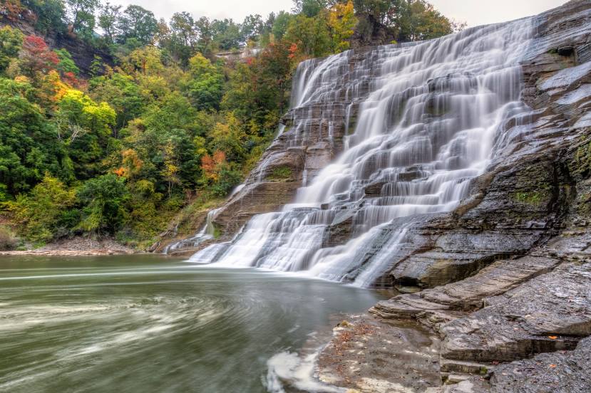
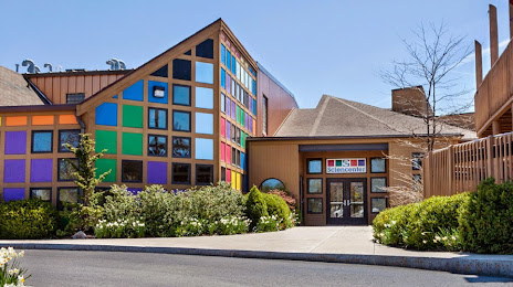
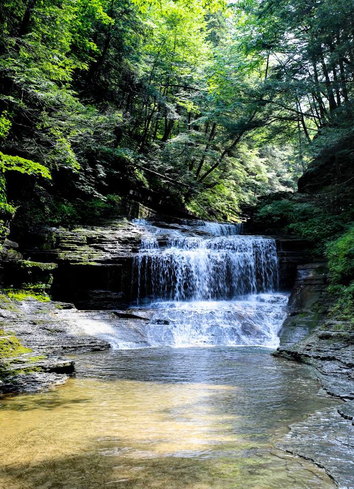
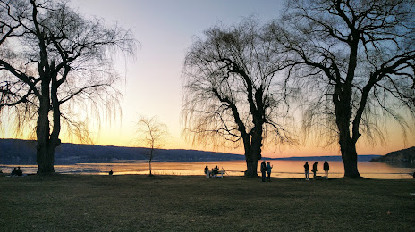
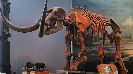
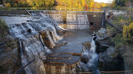
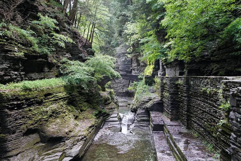
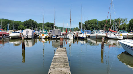
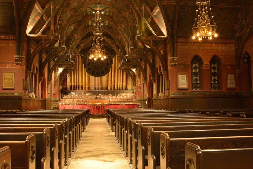
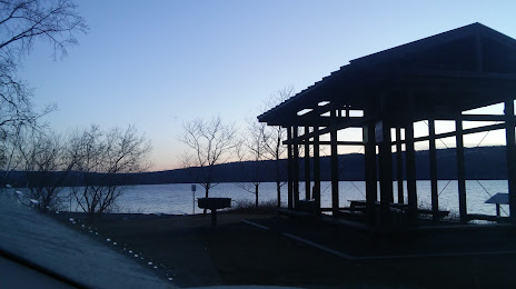
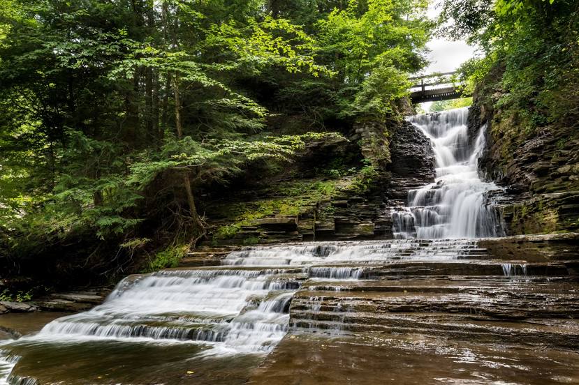
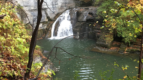
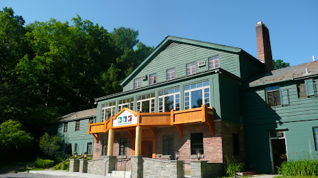
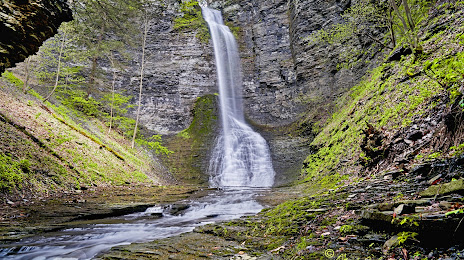
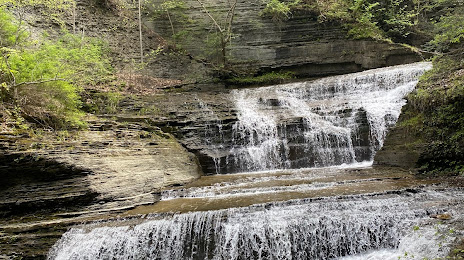
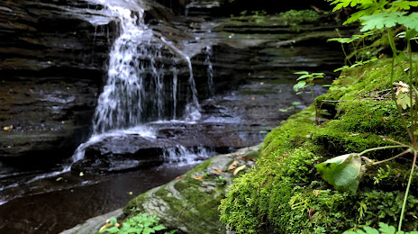
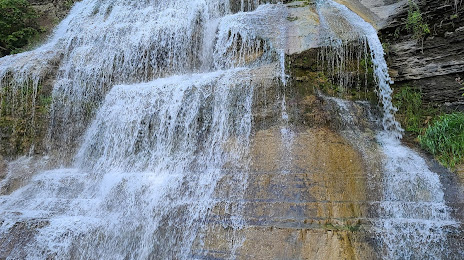
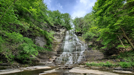
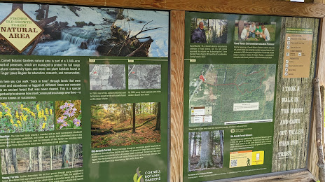
Attractions


Distance to the capital
Distance to the capital (Washington) is about — 396 km.