Chenango Forks — Sharpsburg
Chenango Forks — Huttonsville
Chenango Forks — Emerado
Chenango Forks — Geary
Chenango Forks — Manitowoc
Chenango Forks — Centerville
Chenango Forks — Fowlerton
Chenango Forks — Benson
Chenango Forks — Schoolcraft
Chenango Forks — Elizabethton
Chenango Forks — Ontario
Chenango Forks — Waldoboro
Chenango Forks — Hustisford
Chenango Forks — Bessie
Chenango Forks — Ringling
Chenango Forks — Parkland
Chenango Forks — Independence
Chenango Forks — Beresford
Chenango Forks — Tulsa
Endwell
Endicott
Vestal
Apalachin
Owego
Sayre
Chemung
Elmira
Horseheads
Horseheads
Big Flats
Corning
Painted Post
Thurston
Savona
Bath
Hornell
Arkport
Alfred
New York
Cuba
Olean
Allegany
Salamanca
Steamburg
East Randolph
Falconer
Jamestown
Chautauqua
Findley Lake
Erie
McKean
Cranesville
Conneaut
North Kingsville
Ashtabula
Austinburg
Lake County
Mentor
Willoughby
Wickliffe
Cleveland
Burke Lakefront Airport
Brook Park
Cleveland Hopkins International Airport
Westlake
Avon
Elyria
Lorain
Berlin Heights
Milan Township
Sandusky
Vickery
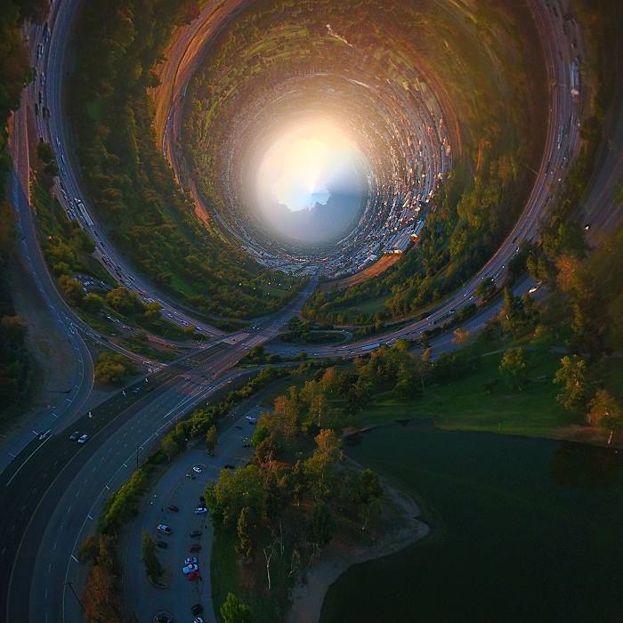
Chenango Forks — El Monte distance, route on the map
Distance by car
Distance between Chenango Forks, New York, United States and El Monte, California, United States by car is — km, or miles. To travel this distance by car, you need minute, or h.
Route on the map, driving directions
Car route Chenango Forks — El Monte was created automatically. The road on the map is shown as a blue line. By moving the markers, you can create a new route through the points you need.
Passing cities through which the car route passes: Binghamton, Endwell, Endicott, Vestal, Apalachin, Owego, Sayre, Chemung, Elmira, Horseheads, Horseheads, Big Flats, Corning, Painted Post, Thurston, Savona, Bath, Hornell, Arkport, Alfred, New York, Cuba, Olean, Allegany, Salamanca, Steamburg, East Randolph, Falconer, Jamestown, Chautauqua, Findley Lake, Erie, McKean, Cranesville, Conneaut, North Kingsville, Ashtabula, Austinburg, Lake County, Mentor, Willoughby, Wickliffe, Cleveland, Burke Lakefront Airport, Brook Park, Cleveland Hopkins International Airport, Westlake, Avon, Elyria, Lorain, Berlin Heights, Milan Township, Sandusky, Vickery.
Distance by plane
If you decide to take a trip Chenango Forks El Monte by plane, then you have to fly the distance — 3759 km or 2331 miles. It is marked on the map with a gray line (between two points in a straight line).
Flight time
Estimated flight time Chenango Forks El Monte by plane at cruising speed 750 km / h will be — 5 h.
Direction of movement
United States, Chenango Forks — right-hand traffic. United States, El Monte — right-hand traffic.
Difference in time
Chenango Forks and El Monte are in different time zones. The time difference is 3 hours (UTC -4 America/New_York, UTC -7 America/Los_Angeles).
Interesting Facts
Information on alternative ways to get to your destination.
The length of this distance is about 9.4% of the total length of the equator.
The cost of travel
Calculate the cost of the trip yourself using the fuel consumption calculator, changing the data in the table.