Pico Rivera — Waterfall
Pico Rivera — Baxley
Pico Rivera — West Glacier
Pico Rivera — Countryside
Pico Rivera — Spencerport
Pico Rivera — Grand Junction Regional Airport
Pico Rivera — Rowlett
Pico Rivera — Willsboro
Pico Rivera — Westville
Pico Rivera — Franklin
Pico Rivera — Niagara Falls
Pico Rivera — Brevard County
Pico Rivera — Lily Dale
Pico Rivera — McClelland
Pico Rivera — Koosharem
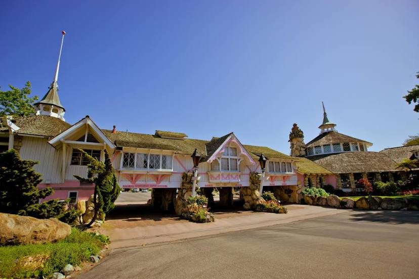
Pico Rivera — Dinuba
Pico Rivera — Andrews
Pico Rivera — Commerce
Pico Rivera — Alcona
Vernon
L A Co Mens Detention Center-main Jail
Glendale
Burbank
Universal City
Van Nuys
Encino
Reseda
Hidden Hills
Calabasas
Agoura Hills
Westlake Village
Thousand Oaks
Thousand Oaks
Newbury Park
Camarillo
Oxnard
Ventura
Carpinteria
Summerland
Santa Barbara County
Goleta
Isla Vista
Buellton
Solvang
Los Olivos
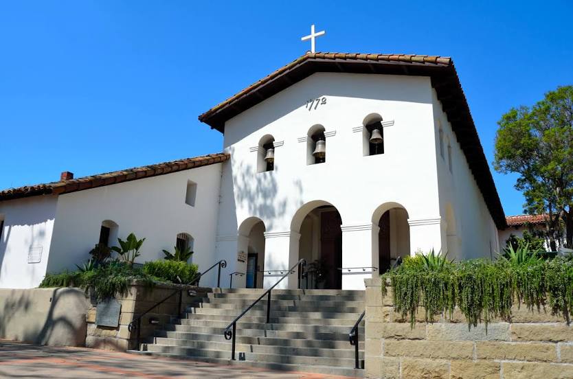
Santa Maria
Arroyo Grande
Grover Beach
Pismo Beach
Avila Beach
Pico Rivera — Waterfall
Pico Rivera — Baxley
Pico Rivera — West Glacier
Pico Rivera — Countryside
Pico Rivera — Spencerport
Pico Rivera — Grand Junction Regional Airport
Pico Rivera — Rowlett
Pico Rivera — Willsboro
Pico Rivera — Westville
Pico Rivera — Franklin
Pico Rivera — Niagara Falls
Pico Rivera — Brevard County
Pico Rivera — Lily Dale
Pico Rivera — McClelland
Pico Rivera — Koosharem
Pico Rivera — Dinuba
Pico Rivera — Andrews
Pico Rivera — Commerce
Pico Rivera — Alcona
Vernon
L A Co Mens Detention Center-main Jail
Glendale
Burbank
Universal City
Van Nuys
Encino
Reseda
Hidden Hills
Calabasas
Agoura Hills
Westlake Village
Thousand Oaks
Thousand Oaks
Newbury Park
Camarillo
Oxnard
Ventura
Carpinteria
Summerland
Santa Barbara County
Goleta
Isla Vista
Buellton
Solvang
Los Olivos
Santa Maria
Arroyo Grande
Grover Beach
Pismo Beach
Avila Beach
Pico Rivera — San Luis Obispo distance, route on the map
Distance by car
Distance between Pico Rivera, California, United States and San Luis Obispo, California, United States by car is — km, or miles. To travel this distance by car, you need minute, or h.
Route on the map, driving directions
Car route Pico Rivera — San Luis Obispo was created automatically. The road on the map is shown as a blue line. By moving the markers, you can create a new route through the points you need.
Passing cities through which the car route passes: East Los Angeles, Vernon, L A Co Mens Detention Center-main Jail, Glendale, Burbank, Universal City, Van Nuys, Encino, Reseda, Hidden Hills, Calabasas, Agoura Hills, Westlake Village, Thousand Oaks, Thousand Oaks, Newbury Park, Camarillo, Oxnard, Ventura, Carpinteria, Summerland, Santa Barbara County, Goleta, Isla Vista, Buellton, Solvang, Los Olivos, Santa Maria, Arroyo Grande, Grover Beach, Pismo Beach, Avila Beach.
Distance by plane
If you decide to take a trip Pico Rivera San Luis Obispo by plane, then you have to fly the distance — 276 km or 171 miles. It is marked on the map with a gray line (between two points in a straight line).
Flight time
Estimated flight time Pico Rivera San Luis Obispo by plane at cruising speed 750 km / h will be — 22 min.
Direction of movement
United States, Pico Rivera — right-hand traffic. United States, San Luis Obispo — right-hand traffic.
Difference in time
Pico Rivera and San Luis Obispo are in the same time zone. Between them there is no time difference (UTC -7 America/Los_Angeles).
Interesting Facts
Information on alternative ways to get to your destination.
The length of this distance is about 0.7% of the total length of the equator.
The percentage of the population is clearly shown in the graph:
Pico Rivera — 66,332, San Luis Obispo — 44,132 residents (less by 22,200).
The cost of travel
Calculate the cost of the trip yourself using the fuel consumption calculator, changing the data in the table.