Gallup — Mecklenburg
Gallup — Sea Isle City
Gallup — Golden Valley
Gallup — Lexington Park
Gallup — Ringsted
Gallup — Carlsbad
Gallup — Crandall
Gallup — Mancos
Gallup — Chateaugay
Gallup — Lewisburg
Gallup — Leonard
Gallup — Pavo
Gallup — Hutto
Gallup — Mingus
Gallup — Milan
Gallup — Stillwater Regional Airport (SWO)
Gallup — Bahama
Gallup — Alabaster
Gallup — Allentown
Thoreau
Prewitt
Cubero
Paraje
United States
Albuquerque
Albuquerque
Cedar Crest
Moriarty
Encino
Chaves County
Roswell
Gallup — Hobbs distance, route on the map
Distance by car
Distance between Gallup, New Mexico, United States and Hobbs, New Mexico, United States by car is — km, or miles. To travel this distance by car, you need minute, or h.
Route on the map, driving directions
Car route Gallup — Hobbs was created automatically. The road on the map is shown as a blue line. By moving the markers, you can create a new route through the points you need.
Passing cities through which the car route passes: Perea, Thoreau, Prewitt, Cubero, Paraje, United States, Albuquerque, Albuquerque, Cedar Crest, Moriarty, Encino, Chaves County, Roswell.
Distance by plane
If you decide to take a trip Gallup Hobbs by plane, then you have to fly the distance — 604 km or 374 miles. It is marked on the map with a gray line (between two points in a straight line).
Flight time
Estimated flight time Gallup Hobbs by plane at cruising speed 750 km / h will be — 48 min.
Direction of movement
United States, Gallup — right-hand traffic. United States, Hobbs — right-hand traffic.
Difference in time
Gallup and Hobbs are in the same time zone. Between them there is no time difference (UTC -6 America/Denver).
Interesting Facts
Information on alternative ways to get to your destination.
The length of this distance is about 1.5% of the total length of the equator.
The percentage of the population is clearly shown in the graph:
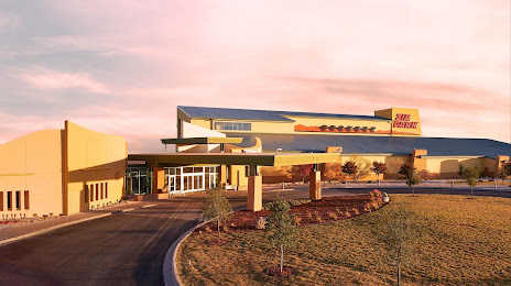
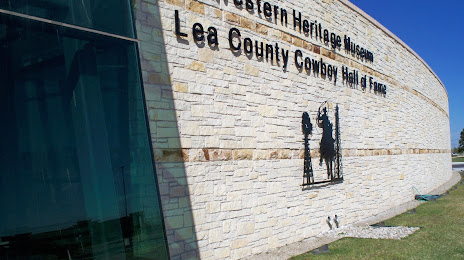
Gallup — 19,454 (less by 8,559), Hobbs — 28,013 residents.
The cost of travel
Calculate the cost of the trip yourself using the fuel consumption calculator, changing the data in the table.