DeFuniak Springs — San Juan Capistrano
DeFuniak Springs — Beckley
DeFuniak Springs — Portage Des Sioux
DeFuniak Springs — Pierceville
DeFuniak Springs — Fountain Run
DeFuniak Springs — Manville
DeFuniak Springs — Newton County
DeFuniak Springs — Ruidoso Downs
DeFuniak Springs — Holbrook
DeFuniak Springs — Lake Helen
DeFuniak Springs — Cromwell
DeFuniak Springs — Maiden Rock
DeFuniak Springs — Brunswick
DeFuniak Springs — Airway Heights
DeFuniak Springs — Kinder
DeFuniak Springs — Gayville
DeFuniak Springs — Aroma Park
DeFuniak Springs — Clinton Airport-1i7
DeFuniak Springs — Wakarusa
Bonifay
Chipley
Alford
Cottondale
Marianna
Sneads
Tallahassee
Leon County
Wellborn
White Springs
Lake City
High Springs
Alachua
Arredondo
Micanopy
Ocala
Wildwood
Okahumpka
Lake County
Minneola
Montverde
Winter Garden
Ocoee
Windermere
Orlando
Belle Isle
Kissimmee
Port Saint Lucie
Stuart
Port Salerno
Jupiter
Palm Beach Gardens
Palm Beach International Airport
Royal Palm Beach
Golf
Boca Raton
DeFuniak Springs — San Juan Capistrano
DeFuniak Springs — Beckley
DeFuniak Springs — Portage Des Sioux
DeFuniak Springs — Pierceville
DeFuniak Springs — Fountain Run
DeFuniak Springs — Manville
DeFuniak Springs — Newton County
DeFuniak Springs — Ruidoso Downs
DeFuniak Springs — Holbrook
DeFuniak Springs — Lake Helen
DeFuniak Springs — Cromwell
DeFuniak Springs — Maiden Rock
DeFuniak Springs — Brunswick
DeFuniak Springs — Airway Heights
DeFuniak Springs — Kinder
DeFuniak Springs — Gayville
DeFuniak Springs — Aroma Park
DeFuniak Springs — Clinton Airport-1i7
DeFuniak Springs — Wakarusa
Bonifay
Chipley
Alford
Cottondale
Marianna
Sneads
Tallahassee
Leon County
Wellborn
White Springs
Lake City
High Springs
Alachua
Arredondo
Micanopy
Ocala
Wildwood
Okahumpka
Lake County
Minneola
Montverde
Winter Garden
Ocoee
Windermere
Orlando
Belle Isle
Kissimmee
Port Saint Lucie
Stuart
Port Salerno
Jupiter
Palm Beach Gardens
Palm Beach International Airport
Royal Palm Beach
Golf
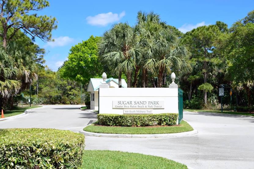
Boca Raton
DeFuniak Springs — Boca Raton distance, route on the map
Distance by car
Distance between DeFuniak Springs, Florida, United States and Boca Raton, Florida, United States by car is — km, or miles. To travel this distance by car, you need minute, or h.
Route on the map, driving directions
Car route DeFuniak Springs — Boca Raton was created automatically. The road on the map is shown as a blue line. By moving the markers, you can create a new route through the points you need.
Passing cities through which the car route passes: Ponce de Leon, Bonifay, Chipley, Alford, Cottondale, Marianna, Sneads, Tallahassee, Leon County, Wellborn, White Springs, Lake City, High Springs, Alachua, Arredondo, Micanopy, Ocala, Wildwood, Okahumpka, Lake County, Minneola, Montverde, Winter Garden, Ocoee, Windermere, Orlando, Belle Isle, Kissimmee, Port Saint Lucie, Stuart, Port Salerno, Jupiter, Palm Beach Gardens, Palm Beach International Airport, Royal Palm Beach, Golf, Boca Raton.
Distance by plane
If you decide to take a trip DeFuniak Springs Boca Raton by plane, then you have to fly the distance — 759 km or 471 miles. It is marked on the map with a gray line (between two points in a straight line).
Flight time
Estimated flight time DeFuniak Springs Boca Raton by plane at cruising speed 750 km / h will be — 1 h.
Direction of movement
United States, DeFuniak Springs — right-hand traffic. United States, Boca Raton — right-hand traffic.
Difference in time
DeFuniak Springs and Boca Raton are in different time zones. The time difference is 1 hour (UTC -5 America/Chicago, UTC -4 America/New_York).
Interesting Facts
Information on alternative ways to get to your destination.
The length of this distance is about 1.9% of the total length of the equator.
The percentage of the population is clearly shown in the graph:
DeFuniak Springs — 5,177 (less by 75,512), Boca Raton — 80,689 residents.
The cost of travel
Calculate the cost of the trip yourself using the fuel consumption calculator, changing the data in the table.