Saint George — Jenkins
Saint George — Ringgold
Saint George — Longview
Saint George — Skanee
Saint George — North Bend
Saint George — New Holland
Saint George — Olanta
Saint George — Lakewood
Saint George — West Plains
Saint George — Champlain
Saint George — Mertens
Saint George — Kantner
Saint George — Yukon
Saint George — Olympia
Saint George — Dalton Airport(3DA)
Saint George — Ross
Saint George — Bethlehem
Saint George — Shamokin
Saint George — Latexo
Jackman
Las Vegas
North Las Vegas
Las Vegas
Las Vegas
Las Vegas
McCarran International Airport
Jean Airport
Primm
Baker Airport
Yermo
Daggett
Barstow
Hutt
Oro Grande
Victorville
Hesperia
Cajon Junction
Lytle Creek
Fontana
Rancho Cucamonga
LA/Ontario International Airport
Ontario
Ontario
Chino
Pomona
Diamond Bar
Rowland Heights
La Puente
Saint George — Jenkins
Saint George — Ringgold
Saint George — Longview
Saint George — Skanee
Saint George — North Bend
Saint George — New Holland
Saint George — Olanta
Saint George — Lakewood
Saint George — West Plains
Saint George — Champlain
Saint George — Mertens
Saint George — Kantner
Saint George — Yukon
Saint George — Olympia
Saint George — Dalton Airport(3DA)
Saint George — Ross
Saint George — Bethlehem
Saint George — Shamokin
Saint George — Latexo
Jackman
Las Vegas
North Las Vegas
Las Vegas
Las Vegas
Las Vegas
McCarran International Airport
Jean Airport
Primm
Baker Airport
Yermo
Daggett
Barstow
Hutt
Oro Grande
Victorville
Hesperia
Cajon Junction
Lytle Creek
Fontana
Rancho Cucamonga
LA/Ontario International Airport
Ontario
Ontario
Chino
Pomona
Diamond Bar
Rowland Heights
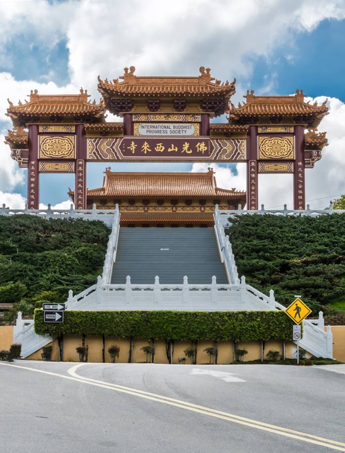
La Puente
Saint George — Hacienda Heights distance, route on the map
Distance by car
Distance between Saint George, Utah, United States and Hacienda Heights, California, United States by car is — km, or miles. To travel this distance by car, you need minute, or h.
Route on the map, driving directions
Car route Saint George — Hacienda Heights was created automatically. The road on the map is shown as a blue line. By moving the markers, you can create a new route through the points you need.
Passing cities through which the car route passes: Mesquite, Jackman, Las Vegas, North Las Vegas, Las Vegas, Las Vegas, Las Vegas, McCarran International Airport, Jean Airport, Primm, Baker Airport, Yermo, Daggett, Barstow, Hutt, Oro Grande, Victorville, Hesperia, Cajon Junction, Lytle Creek, Fontana, Rancho Cucamonga, LA/Ontario International Airport, Ontario, Ontario, Chino, Pomona, Diamond Bar, Rowland Heights, La Puente.
Distance by plane
If you decide to take a trip Saint George Hacienda Heights by plane, then you have to fly the distance — 527 km or 327 miles. It is marked on the map with a gray line (between two points in a straight line).
Flight time
Estimated flight time Saint George Hacienda Heights by plane at cruising speed 750 km / h will be — 42 min.
Direction of movement
United States, Saint George — right-hand traffic. United States, Hacienda Heights — right-hand traffic.
Difference in time
Saint George and Hacienda Heights are in different time zones. The time difference is 1 hour (UTC -6 America/Denver, UTC -7 America/Los_Angeles).
Interesting Facts
Information on alternative ways to get to your destination.
The length of this distance is about 1.3% of the total length of the equator.
The percentage of the population is clearly shown in the graph:
Saint George — 72,897, Hacienda Heights — 54,289 residents (less by 18,608).
The cost of travel
Calculate the cost of the trip yourself using the fuel consumption calculator, changing the data in the table.