McCammon — Alba
McCammon — Verona
McCammon — Wilmington
McCammon — Immokalee
McCammon — McQueeney
McCammon — Millersville
McCammon — Seabeck
McCammon — Benedict
McCammon — Cherryville
McCammon — Troup
McCammon — Dumas
McCammon — Tacna
McCammon — Bondsville
McCammon — Roseburg
McCammon — Monitor
McCammon — Milton
McCammon — Diablo
McCammon — Khari Sharif
McCammon — Verndale
Fielding
Tremonton
Tremonton Municipal Airport
Honeyville
Corinne
Brigham City
Ogden
Washington Terrace
Riverdale
Clearfield
Layton
Kaysville
Centerville
Bountiful
Woods Cross
North Salt Lake
Red Lion-Sheraton Hotel Heliport
Salt Lake City
Salt Lake City
Murray
Salt Lake City
Midvale
South Jordan
Draper
Bluffdale
Lehi
Lehi
American Fork
Lindon
Orem
Provo
Springville
Spanish Fork
Payson
Santaquin
Mona
Nephi
Levan
Scipio
Meadow
Kanosh
Parowan
Enoch
Cedar City
Toquerville
Washington
Saint George
Mesquite
Jackman
Las Vegas
North Las Vegas
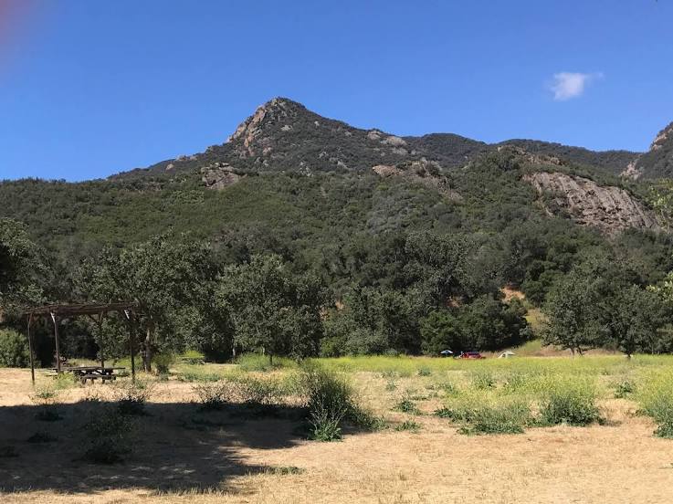
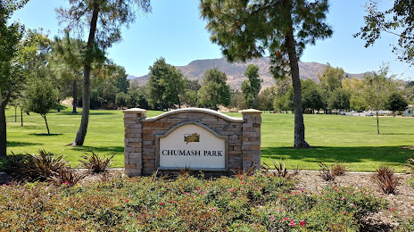
McCammon — Agoura Hills distance, route on the map
Distance by car
Distance between McCammon, Idaho, United States and Agoura Hills, California, United States by car is — km, or miles. To travel this distance by car, you need minute, or h.
Route on the map, driving directions
Car route McCammon — Agoura Hills was created automatically. The road on the map is shown as a blue line. By moving the markers, you can create a new route through the points you need.
Passing cities through which the car route passes: Arimo, Fielding, Tremonton, Tremonton Municipal Airport, Honeyville, Corinne, Brigham City, Ogden, Washington Terrace, Riverdale, Clearfield, Layton, Kaysville, Centerville, Bountiful, Woods Cross, North Salt Lake, Red Lion-Sheraton Hotel Heliport, Salt Lake City, Salt Lake City, Murray, Salt Lake City, Midvale, South Jordan, Draper, Bluffdale, Lehi, Lehi, American Fork, Lindon, Orem, Provo, Springville, Spanish Fork, Payson, Santaquin, Mona, Nephi, Levan, Scipio, Meadow, Kanosh, Parowan, Enoch, Cedar City, Toquerville, Washington, Saint George, Mesquite, Jackman, Las Vegas, North Las Vegas.
Distance by plane
If you decide to take a trip McCammon Agoura Hills by plane, then you have to fly the distance — 1104 km or 684 miles. It is marked on the map with a gray line (between two points in a straight line).
Flight time
Estimated flight time McCammon Agoura Hills by plane at cruising speed 750 km / h will be — 1 h. and 28 min.
Direction of movement
United States, McCammon — right-hand traffic. United States, Agoura Hills — right-hand traffic.
Difference in time
McCammon and Agoura Hills are in different time zones. The time difference is 1 hour (UTC -6 America/Denver, UTC -7 America/Los_Angeles).
Interesting Facts
Information on alternative ways to get to your destination.
The length of this distance is about 2.8% of the total length of the equator.
The percentage of the population is clearly shown in the graph:
McCammon — 805 (less by 21,417), Agoura Hills — 22,222 residents.
The cost of travel
Calculate the cost of the trip yourself using the fuel consumption calculator, changing the data in the table.