Alamo — Cumming
Alamo — Silver Springs
Alamo — Oronogo
Alamo — Lafayette
Alamo — Pungoteague
Alamo — Murchison
Alamo — Cullen
Alamo — Vinemont
Alamo — Fancher
Alamo — Hobbs
Alamo — Grand Rivers
Alamo — Eolia
Alamo — Orange Park
Alamo — Warrensville
Alamo — Hager City
Alamo — Shady Side
Alamo — Granville Summit
Alamo — Little Compton
Alamo — Mekoryuk
San Ramon
Dublin
Asco
Livermore
Tracy
Westley
Patterson
Volta
Avenal
Kettleman City
Lost Hills
Buttonwillow
Bakersfield
Tehachapi
Tehachapi
Mojave
Boron
Hinkley
Hutt
Barstow
Daggett
Minneola
Newberry Springs
Needles
Topock
Yucca
Kingman
Seligman
Ash Fork
Williams
Bellemont
Flagstaff
Winslow
Holbrook
Chambers
Sanders
Houck
Lupton
Mentmore
Gallup
Gallup
Perea
Thoreau
Prewitt
Cubero
Paraje
United States
Albuquerque
Albuquerque
Cedar Crest
Moriarty
Santa Rosa
Tucumcari
Alamo — Mobile distance, route on the map
Distance by car
Distance between Alamo, California, United States and Mobile, Alabama, United States by car is — km, or miles. To travel this distance by car, you need minute, or h.
Route on the map, driving directions
Car route Alamo — Mobile was created automatically. The road on the map is shown as a blue line. By moving the markers, you can create a new route through the points you need.
Passing cities through which the car route passes: Danville, San Ramon, Dublin, Asco, Livermore, Tracy, Westley, Patterson, Volta, Avenal, Kettleman City, Lost Hills, Buttonwillow, Bakersfield, Tehachapi, Tehachapi, Mojave, Boron, Hinkley, Hutt, Barstow, Daggett, Minneola, Newberry Springs, Needles, Topock, Yucca, Kingman, Seligman, Ash Fork, Williams, Bellemont, Flagstaff, Winslow, Holbrook, Chambers, Sanders, Houck, Lupton, Mentmore, Gallup, Gallup, Perea, Thoreau, Prewitt, Cubero, Paraje, United States, Albuquerque, Albuquerque, Cedar Crest, Moriarty, Santa Rosa, Tucumcari.
Distance by plane
If you decide to take a trip Alamo Mobile by plane, then you have to fly the distance — 3205 km or 1987 miles. It is marked on the map with a gray line (between two points in a straight line).
Flight time
Estimated flight time Alamo Mobile by plane at cruising speed 750 km / h will be — 4 h. and 16 min.
Direction of movement
United States, Alamo — right-hand traffic. United States, Mobile — right-hand traffic.
Difference in time
Alamo and Mobile are in different time zones. The time difference is 2 hours (UTC -7 America/Los_Angeles, UTC -5 America/Chicago).
Interesting Facts
Information on alternative ways to get to your destination.
The length of this distance is about 8.0% of the total length of the equator.
The percentage of the population is clearly shown in the graph:
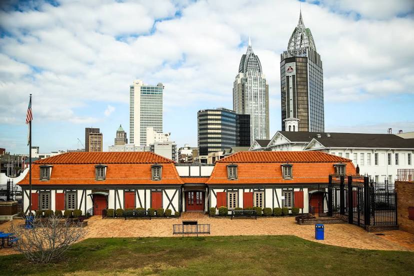
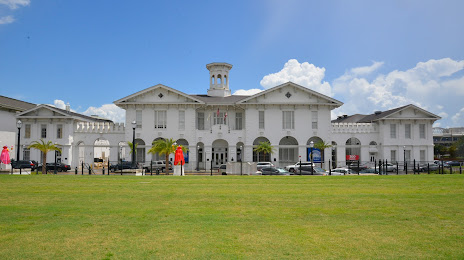
Alamo — 17,764 (less by 172,510), Mobile — 190,274 residents.
The cost of travel
Calculate the cost of the trip yourself using the fuel consumption calculator, changing the data in the table.