Alamo — Ronkonkoma
Alamo — Wilton
Alamo — Valparaiso
Alamo — Montgomery
Alamo — Traverse City
Alamo — Parnell
Alamo — Village Mills
Alamo — Watkinsville
Alamo — Menno
Alamo — Mineola
Alamo — Raton
Alamo — Alpena
Alamo — Apulia
Alamo — Palmerton
Alamo — Bolivar
Alamo — Polk City
Alamo — Seward
Alamo — Warm Springs
Alamo — Dorena
San Ramon
Dublin
Asco
Livermore
Tracy
Westley
Patterson
Volta
Avenal
Kettleman City
Lost Hills
Buttonwillow
Wheeler Ridge
Lebec
Gorman
Sandberg
Castaic
Valencia
Valencia
Stevenson Ranch
Santa Clarita
San Fernando
Pacoima
Burbank
Glendale
L A Co Mens Detention Center-main Jail
East Los Angeles
Monterey Park
Rosemead
Alamo — El Monte distance, route on the map
Distance by car
Distance between Alamo, California, United States and El Monte, California, United States by car is — km, or miles. To travel this distance by car, you need minute, or h.
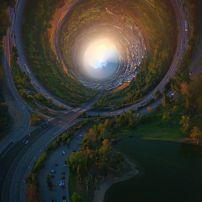
Route on the map, driving directions
Car route Alamo — El Monte was created automatically. The road on the map is shown as a blue line. By moving the markers, you can create a new route through the points you need.
Passing cities through which the car route passes: Danville, San Ramon, Dublin, Asco, Livermore, Tracy, Westley, Patterson, Volta, Avenal, Kettleman City, Lost Hills, Buttonwillow, Wheeler Ridge, Lebec, Gorman, Sandberg, Castaic, Valencia, Valencia, Stevenson Ranch, Santa Clarita, San Fernando, Pacoima, Burbank, Glendale, L A Co Mens Detention Center-main Jail, East Los Angeles, Monterey Park, Rosemead.
Distance by plane
If you decide to take a trip Alamo El Monte by plane, then you have to fly the distance — 554 km or 343 miles. It is marked on the map with a gray line (between two points in a straight line).
Flight time
Estimated flight time Alamo El Monte by plane at cruising speed 750 km / h will be — 44 min.
Direction of movement
United States, Alamo — right-hand traffic. United States, El Monte — right-hand traffic.
Difference in time
Alamo and El Monte are in the same time zone. Between them there is no time difference (UTC -7 America/Los_Angeles).
Interesting Facts
Information on alternative ways to get to your destination.
The length of this distance is about 1.4% of the total length of the equator.
The percentage of the population is clearly shown in the graph:
Alamo — 17,764 (less by 107,608), El Monte — 125,372 residents.
The cost of travel
Calculate the cost of the trip yourself using the fuel consumption calculator, changing the data in the table.