Velarde — Tallassee Municipal Airport
Velarde — Luck
Velarde — Massapequa Park
Velarde — Alva
Velarde — Gold Run
Velarde — Ballena
Velarde — Ridgeville
Velarde — ConocoPhillips Terminal
Velarde — Trinidad
Velarde — Danville
Velarde — Edgeley
Velarde — Lewis Run
Velarde — Gladbrook
Velarde — Panna Maria
Velarde — Placer County
Velarde — Geddes
Velarde — Sargeant
Velarde — Woodacre
Velarde — Peña Blanca
Guique
Ohkay Owingeh
Ohkay Owingeh Airport
Española
Santa Fe
La Cienega
Kewa Pueblo
Algodones
Santa Ana Pueblo
Bernalillo
Corrales
Albuquerque
Albuquerque
United States
Paraje
Cubero
Prewitt
Thoreau
Perea
Gallup
Gallup
Mentmore
Lupton
Houck
Sanders
Chambers
Holbrook
Winslow
Flagstaff
Bellemont
Williams
Ash Fork
Seligman
Kingman
Yucca
Topock
Needles
Newberry Springs
Minneola
Daggett
Barstow
Hutt
Oro Grande
Victorville
Hesperia
Cajon Junction
Lytle Creek
Fontana
Rancho Cucamonga
LA/Ontario International Airport
Ontario
Upland
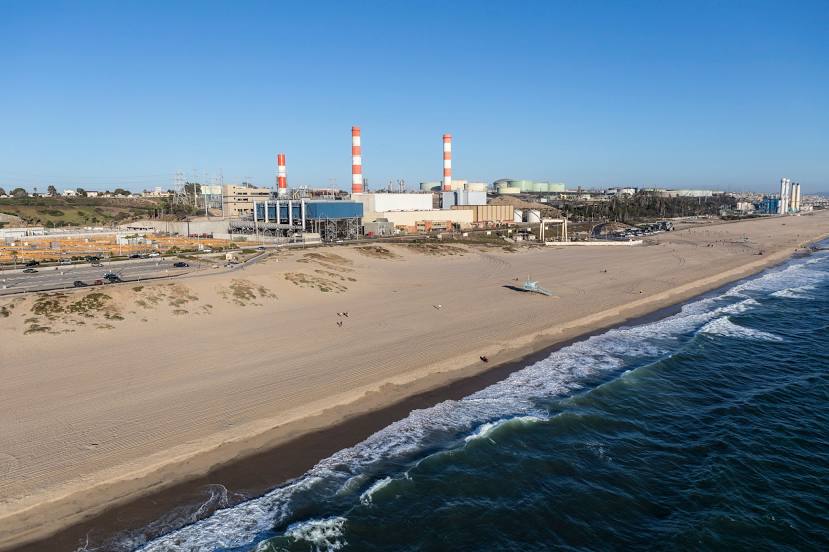
Velarde — Inglewood distance, route on the map
Distance by car
Distance between Velarde, New Mexico, United States and Inglewood, California, United States by car is — km, or miles. To travel this distance by car, you need minute, or h.
Route on the map, driving directions
Car route Velarde — Inglewood was created automatically. The road on the map is shown as a blue line. By moving the markers, you can create a new route through the points you need.
Passing cities through which the car route passes: Lyden, Guique, Ohkay Owingeh, Ohkay Owingeh Airport, Española, Santa Fe, La Cienega, Kewa Pueblo, Algodones, Santa Ana Pueblo, Bernalillo, Corrales, Albuquerque, Albuquerque, United States, Paraje, Cubero, Prewitt, Thoreau, Perea, Gallup, Gallup, Mentmore, Lupton, Houck, Sanders, Chambers, Holbrook, Winslow, Flagstaff, Bellemont, Williams, Ash Fork, Seligman, Kingman, Yucca, Topock, Needles, Newberry Springs, Minneola, Daggett, Barstow, Hutt, Oro Grande, Victorville, Hesperia, Cajon Junction, Lytle Creek, Fontana, Rancho Cucamonga, LA/Ontario International Airport, Ontario, Upland.
Distance by plane
If you decide to take a trip Velarde Inglewood by plane, then you have to fly the distance — 1153 km or 715 miles. It is marked on the map with a gray line (between two points in a straight line).
Flight time
Estimated flight time Velarde Inglewood by plane at cruising speed 750 km / h will be — 1 h. and 32 min.
Direction of movement
United States, Velarde — right-hand traffic. United States, Inglewood — right-hand traffic.
Difference in time
Velarde and Inglewood are in different time zones. The time difference is 1 hour (UTC -6 America/Denver, UTC -7 America/Los_Angeles).
Interesting Facts
Information on alternative ways to get to your destination.
The length of this distance is about 2.9% of the total length of the equator.
The cost of travel
Calculate the cost of the trip yourself using the fuel consumption calculator, changing the data in the table.