Yerkes — Sunburg
Yerkes — Egan
Yerkes — Lone Pine
Yerkes — Stephens City
Yerkes — Wessington
Yerkes — Clarendon Hills
Yerkes — Westminster
Yerkes — Terlton
Yerkes — Spiro
Yerkes — Wilmot
Yerkes — Allerton
Yerkes — Castroville
Yerkes — Richville
Yerkes — Harrells
Yerkes — Cliffside
Yerkes — Braman
Yerkes — Lake Geneva
Yerkes — Shelbyville
Yerkes — Portage
Thousandsticks
Goose Rock
Hima
London
London
Keavy
Corbin
Strunk
Helenwood
Sunbright
Lancing
Morgan County
Harriman
Rockwood
Evensville
Dayton
Soddy-Daisy
Signal Mountain
Chattanooga
Whiteside
Higdon
Rising Fawn
Valley Head
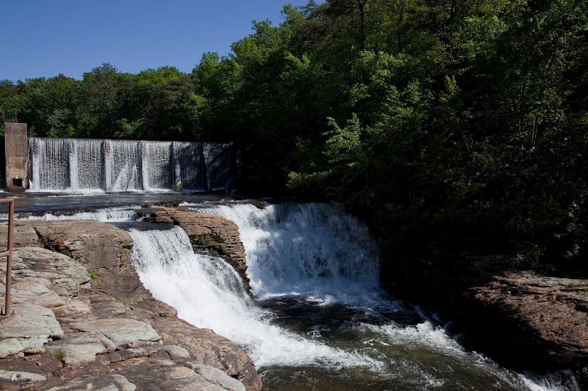
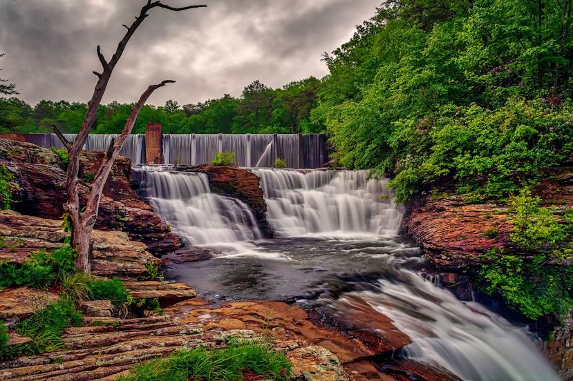
Yerkes — Fort Payne distance, route on the map
Distance by car
Distance between Yerkes, Kentucky, United States and Fort Payne, Alabama, United States by car is — km, or miles. To travel this distance by car, you need minute, or h.
Route on the map, driving directions
Car route Yerkes — Fort Payne was created automatically. The road on the map is shown as a blue line. By moving the markers, you can create a new route through the points you need.
Passing cities through which the car route passes: Wooton, Thousandsticks, Goose Rock, Hima, London, London, Keavy, Corbin, Strunk, Helenwood, Sunbright, Lancing, Morgan County, Harriman, Rockwood, Evensville, Dayton, Soddy-Daisy, Signal Mountain, Chattanooga, Whiteside, Higdon, Rising Fawn, Valley Head.
Distance by plane
If you decide to take a trip Yerkes Fort Payne by plane, then you have to fly the distance — 383 km or 237 miles. It is marked on the map with a gray line (between two points in a straight line).
Flight time
Estimated flight time Yerkes Fort Payne by plane at cruising speed 750 km / h will be — 30 min.
Direction of movement
United States, Yerkes — right-hand traffic. United States, Fort Payne — right-hand traffic.
Difference in time
Yerkes and Fort Payne are in different time zones. The time difference is 1 hour (UTC -4 America/New_York, UTC -5 America/Chicago).
Interesting Facts
Information on alternative ways to get to your destination.
The length of this distance is about 1.0% of the total length of the equator.
The cost of travel
Calculate the cost of the trip yourself using the fuel consumption calculator, changing the data in the table.