Franklin Grove — Tohatchi
Franklin Grove — Allen
Franklin Grove — Walthourville
Franklin Grove — Bloomdale
Franklin Grove — Simsboro
Franklin Grove — Humble
Franklin Grove — Springdale
Franklin Grove — Bridgehampton
Franklin Grove — Oklahoma
Franklin Grove — Overland Park
Franklin Grove — San Augustine County
Franklin Grove — Claverack
Franklin Grove — Bickleton
Franklin Grove — Troy
Franklin Grove — Athens
Franklin Grove — Wilmar
Franklin Grove — Blue Springs
Franklin Grove — Accomac
Franklin Grove — Chilhowee
Rochelle
Elva
DeKalb
Kaneville
Sugar Grove
North Aurora
Warrenville
Lisle
Downers Grove
Oak Brook
Westchester
Broadview
Maywood
Oak Park
Cicero
Chicago
Chicago
Cook County
Burnham
Calumet City
Hammond
East Chicago
Gary
Hobart
Chesterton
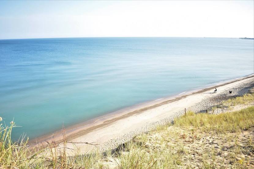
Franklin Grove — Michigan City distance, route on the map
Distance by car
Distance between Franklin Grove, Illinois, United States and Michigan City, Indiana, United States by car is — km, or miles. To travel this distance by car, you need minute, or h.
Route on the map, driving directions
Car route Franklin Grove — Michigan City was created automatically. The road on the map is shown as a blue line. By moving the markers, you can create a new route through the points you need.
Passing cities through which the car route passes: Chana, Rochelle, Elva, DeKalb, Kaneville, Sugar Grove, North Aurora, Warrenville, Lisle, Downers Grove, Oak Brook, Westchester, Broadview, Maywood, Oak Park, Cicero, Chicago, Chicago, Cook County, Burnham, Calumet City, Hammond, East Chicago, Gary, Hobart, Chesterton.
Distance by plane
If you decide to take a trip Franklin Grove Michigan City by plane, then you have to fly the distance — 200 km or 124 miles. It is marked on the map with a gray line (between two points in a straight line).
Flight time
Estimated flight time Franklin Grove Michigan City by plane at cruising speed 750 km / h will be — 16 min.
Direction of movement
United States, Franklin Grove — right-hand traffic. United States, Michigan City — right-hand traffic.
Difference in time
Franklin Grove and Michigan City are in the same time zone. Between them there is no time difference (UTC -5 America/Chicago).
Interesting Facts
Information on alternative ways to get to your destination.
The length of this distance is about 0.5% of the total length of the equator.
The percentage of the population is clearly shown in the graph:
Franklin Grove — 1,005 (less by 30,898), Michigan City — 31,903 residents.
The cost of travel
Calculate the cost of the trip yourself using the fuel consumption calculator, changing the data in the table.