Sugar City — Pico Rivera
Sugar City — Harris County
Sugar City — Gardner
Sugar City — Arapahoe County
Sugar City — Stone Ridge
Sugar City — Watkins
Sugar City — Amenia
Sugar City — Gore
Sugar City — Auburn
Sugar City — Benson
Sugar City — Kewanee
Sugar City — Town of Lisbon
Sugar City — Saint Charles
Sugar City — Mooers Forks
Sugar City — Montgomery County
Sugar City — Mount Pleasant
Sugar City — Quakertown
Sugar City — Naples
Sugar City — Dolgeville
Rigby
Ucon
Idaho Falls
Shelley
Blackfoot
Fort Hall
Pocatello
Power County
Travers
Burley
Hazelton
Kimberly
Twin Falls
Jackpot
Wells
Halleck
Elko
Carlin
Battle Mountain
Winnemucca
Imlay
Lovelock
Fernley
Sparks
Reno
Floriston
Truckee
Eder
Norden
Soda Springs
Gold Run
Cape Horn
Colfax
Weimar
Meadow Vista
Auburn
Newcastle
Rocklin
Folsom
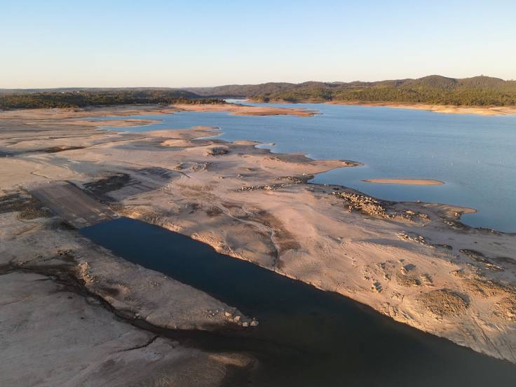
Sugar City — El Dorado Hills distance, route on the map
Distance by car
Distance between Sugar City, Idaho, United States and El Dorado Hills, California, United States by car is — km, or miles. To travel this distance by car, you need minute, or h.
Route on the map, driving directions
Car route Sugar City — El Dorado Hills was created automatically. The road on the map is shown as a blue line. By moving the markers, you can create a new route through the points you need.
Passing cities through which the car route passes: Rexburg, Rigby, Ucon, Idaho Falls, Shelley, Blackfoot, Fort Hall, Pocatello, Power County, Travers, Burley, Hazelton, Kimberly, Twin Falls, Jackpot, Wells, Halleck, Elko, Carlin, Battle Mountain, Winnemucca, Imlay, Lovelock, Fernley, Sparks, Reno, Floriston, Truckee, Eder, Norden, Soda Springs, Gold Run, Cape Horn, Colfax, Weimar, Meadow Vista, Auburn, Newcastle, Rocklin, Folsom.
Distance by plane
If you decide to take a trip Sugar City El Dorado Hills by plane, then you have to fly the distance — 969 km or 601 miles. It is marked on the map with a gray line (between two points in a straight line).
Flight time
Estimated flight time Sugar City El Dorado Hills by plane at cruising speed 750 km / h will be — 1 h. and 17 min.
Direction of movement
United States, Sugar City — right-hand traffic. United States, El Dorado Hills — right-hand traffic.
Difference in time
Sugar City and El Dorado Hills are in different time zones. The time difference is 1 hour (UTC -6 America/Denver, UTC -7 America/Los_Angeles).
Interesting Facts
Information on alternative ways to get to your destination.
The length of this distance is about 2.4% of the total length of the equator.
The percentage of the population is clearly shown in the graph:
Sugar City — 1,514 (less by 23,592), El Dorado Hills — 25,106 residents.
The cost of travel
Calculate the cost of the trip yourself using the fuel consumption calculator, changing the data in the table.